
North Gladstone Avenue in Kansas City, Missouri
North Gladstone Avenue in Kansas City is a residential street. It runs in a north-south direction starting from Northeast Gladstone Avenue and crosses Northeast 49th Terrace, Northeast 49th Street, Northeast 48th Terrace, Northeast 47th Street, North College Avenue and Northeast Chouteau Trafficway and ends at Northeast 47th Terrace. North Gladstone Avenue also exists in Montgomery County.
- Road Type
- residential street
- Route
- north-south
Image
Cell phone stores
Ice cream shops
Schools
Fast food restaurants
Places of worship
Gas stations
Post offices
Bus stops
Restaurants
Secondhand stores
Supplement stores
Pet stores
Streets nearby
North Kansas Avenue0.1 mi
Northeast 48th Terrace0.2 mi
North Agnes AvenueThe Rivers Edge, Beacon Mental Health, 238 @ North Prospect Human Services
0.2 mi
Northeast 49th Street0.2 mi
North College Avenue0.2 mi
Northeast Chouteau DriveChurch of the Good Shepherd
0.2 mi
Northeast Gladstone Avenue0.3 mi
North Bales Avenue0.3 mi
North Bellefontaine Avenue0.3 mi
Northeast Dean Lane0.3 mi
Northeast Sherwood Drive0.3 mi
Northeast 45th Street0.3 mi
North Walrond AvenueEastwood School
0.3 mi
Northeast 49th Terrace0.3 mi
Northeast 48th StreetNorthland Christian Church, Roger Cemetery
0.3 mi
North Indiana Avenue0.3 mi
Northeast 47th Terrace0.4 mi
Northeast 47th Street0.4 mi
Northeast 46th StreetHarmony Vineyard Church, Squirrely's Bar and Grill
0.4 mi
North Chestnut Avenue0.4 mi
North Sherwood Drive0.4 mi
Northeast 46th Terrace0.4 mi
50th Street0.4 mi
Northeast 50 Street0.5 mi
Sherwood Court0.5 mi
North Monroe Avenue0.5 mi
North Montgall Avenue0.5 mi
Northeast 44th Street0.5 mi
Northeast 50th StreetTower View Baptist Church
0.5 mi
North Askew AvenuePet-Topia
0.5 mi
Northeast 44th Terrace0.5 mi
Northeast Chouteau TrafficwayPapa John's
0.5 mi
North Chouteau TrafficwayChouteau at Gardner, CPK 279 Manchester, Chouteau at Deramus
0.6 mi
Northeast Chouteau Parkway0.6 mi
Northeast 43rd StreetO'Reilly Auto Parts, Wow Wow Wireless
0.6 mi
Northeast Arbor Road0.6 mi
Northeast Chaumiere Road0.6 mi
Chouteau Trafficway TrailGreat Clips, Papa Murphy's, Chipotle
0.6 mi
Northeast 43rd Terrace0.6 mi
Convenience stores nearby
QuikTrip0.4 mi
Parks nearby
Golden Oaks Park0.2 mi
Chouteau Park0.5 mi
Chaumiere Woods0.6 mi
Places of worship nearby
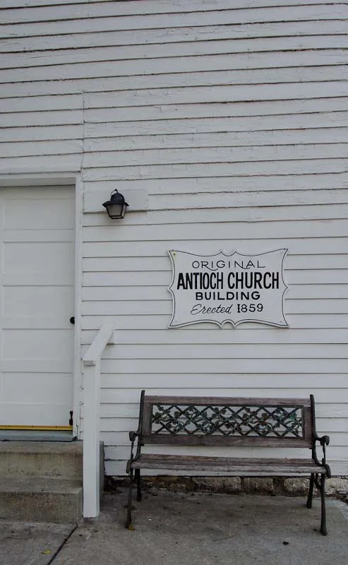
Antioch Church0.3 mi
Episcopal Church of the Good Shepherd0.4 mi
Residential areas nearby
Glendale Heights0.2 mi
Beulmar Acres0.3 mi
Wood Hills0.5 mi
Jeffries Heights0.6 mi
Public transit map Kansas City Legend
| Railway | |
| Bus | |
| Streetcar |
Bicycle map Kansas City Legend
| Bike path | |
| Bike lane on roadway | |
| Cycling allowed on bus lane | |
| Bicycle street | |
| Open to cyclists | |
| Open to cyclists, good path | |
| Cycling prohibited | |
| Cobblestone |
| Long-distance bike route | (depending on scale) | |
| Long-distance bike route |
Pedestrian map Kansas City Legend
| Path |
| Long-distance hiking trail | (depending on scale) | |
| Long-distance hiking trail | ||
| Pedestrians prohibited |