
Lee's Summit, Missouri
Lee's Summit is located in Cass County. About 96,076 people live here. Between 2010 and 2020, the population grew from 91,364 to 101,108. The region is at 316 meters above sea level. The area covers about 170.5 square kilometers. There are about 4.625 streets in Lee's Summit. The region was founded in 1865. The ZIP codes are 64002–64086. The dialing code is 816. The name originates from Pleasant John Graves Lea (6 Sep 1807 - Aug 1862) Lee's Summit is city in Jackson and Cass counties in Missouri, United States. Among other things, Lee's Summit has public Transport, restaurants, cafés, supermarkets, clothing Stores, schools, banks, hair Salons, dentists, doctors and pharmacies. More information at www.lees-summit.mo.us.
Lee's Summit – Facts
| Population | 101108 |
|---|---|
| Area | 170.5 km² |
| Named after | Pleasant John Graves Lea |
| Year built | 1865 |
| Elevation | 316 m |
| Located in | Jackson County, Cass County |
| Postal code | 64002 |
| Country | United States |
| Official name | Lee's Summit |
| Website | http://www.lees-summit.mo.us/ |
Data source: Wikidata (CC0)
Photos from Lee's Summit
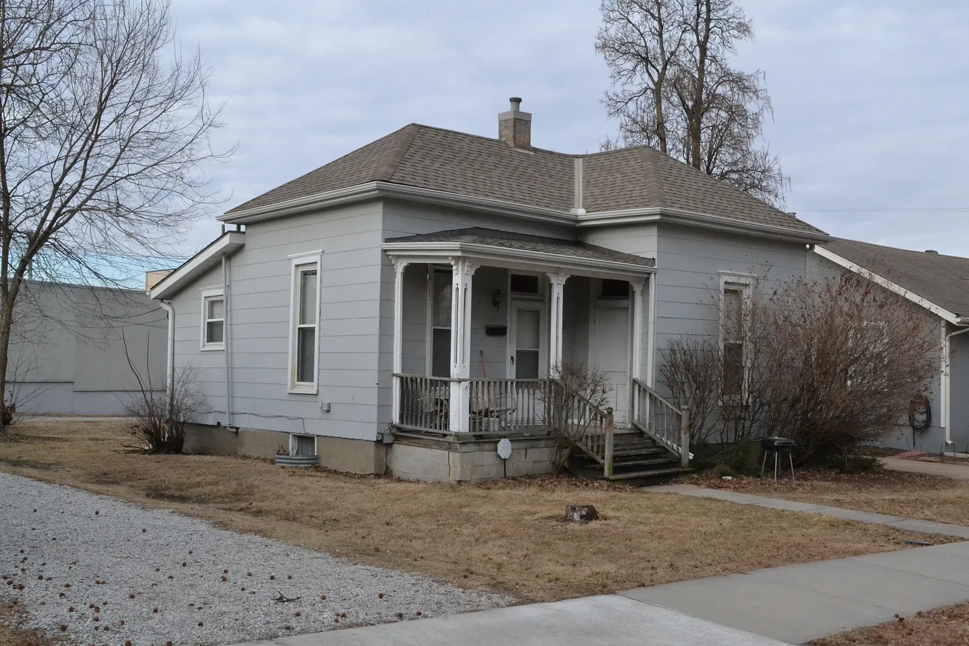
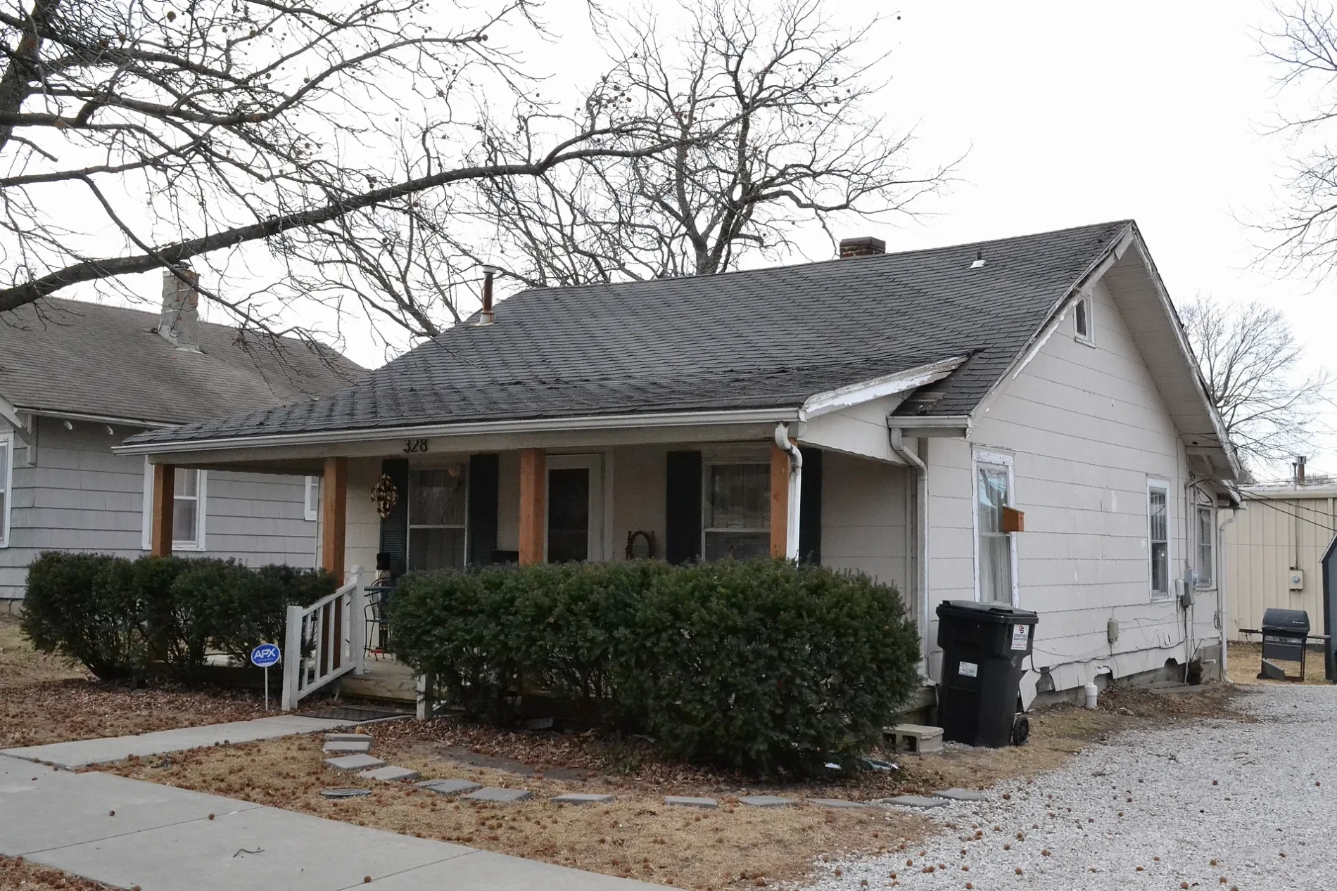
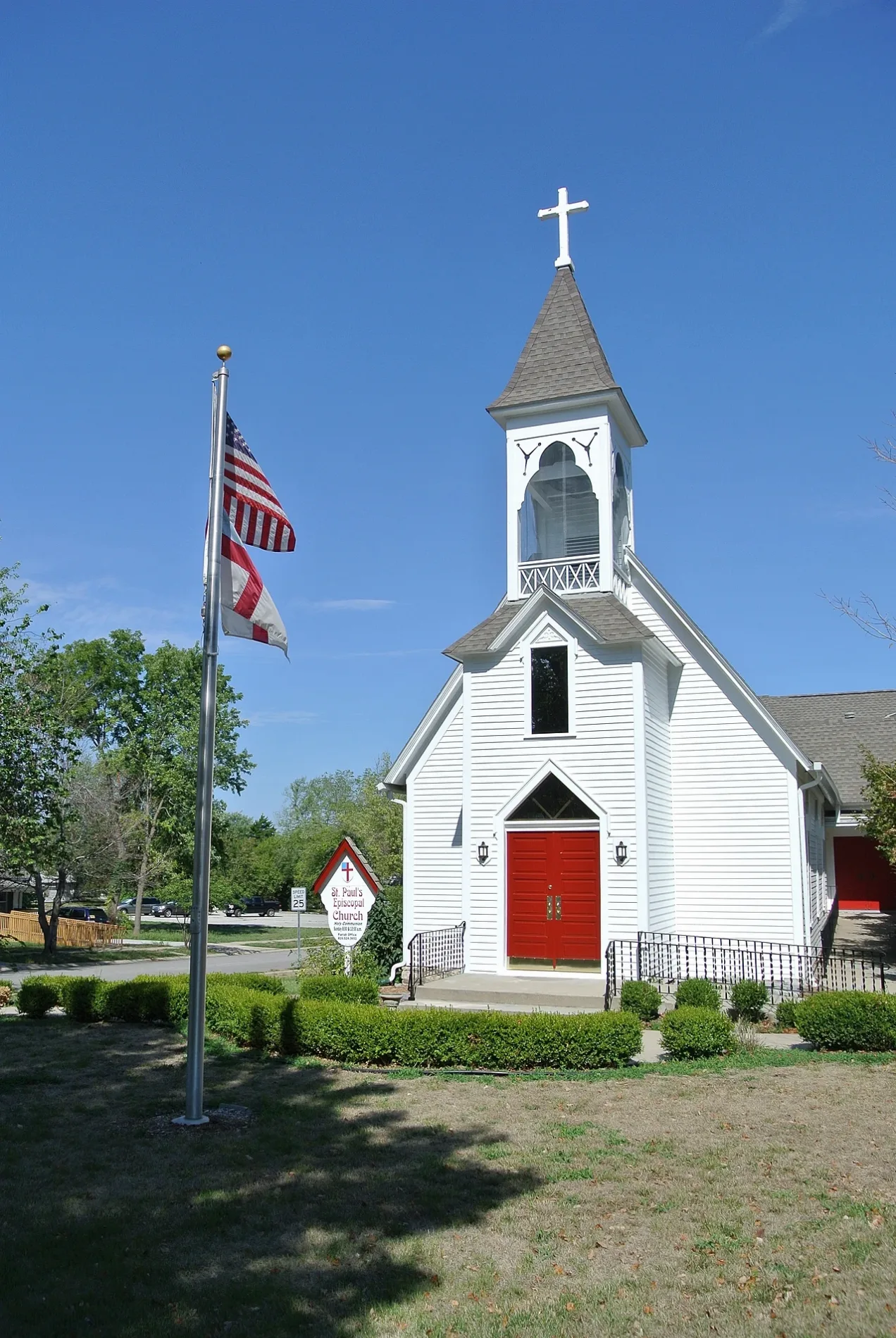

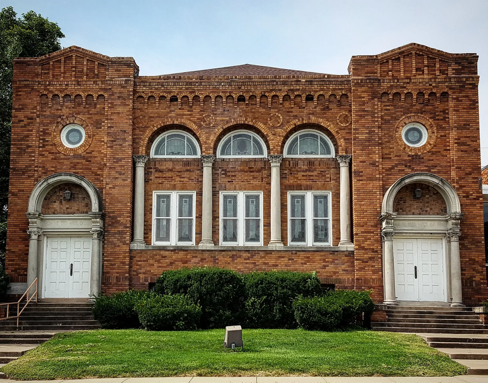
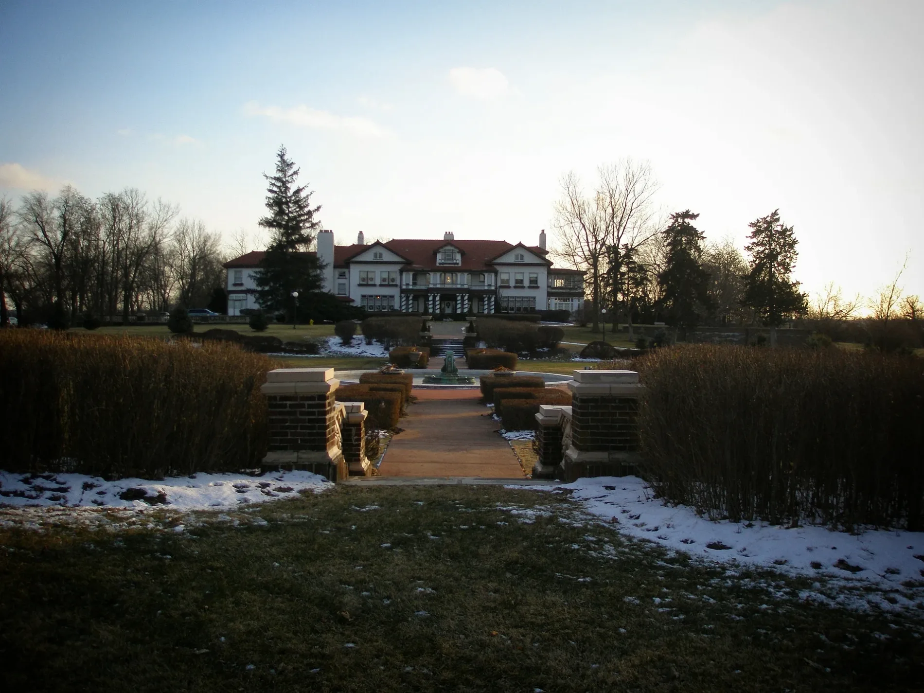

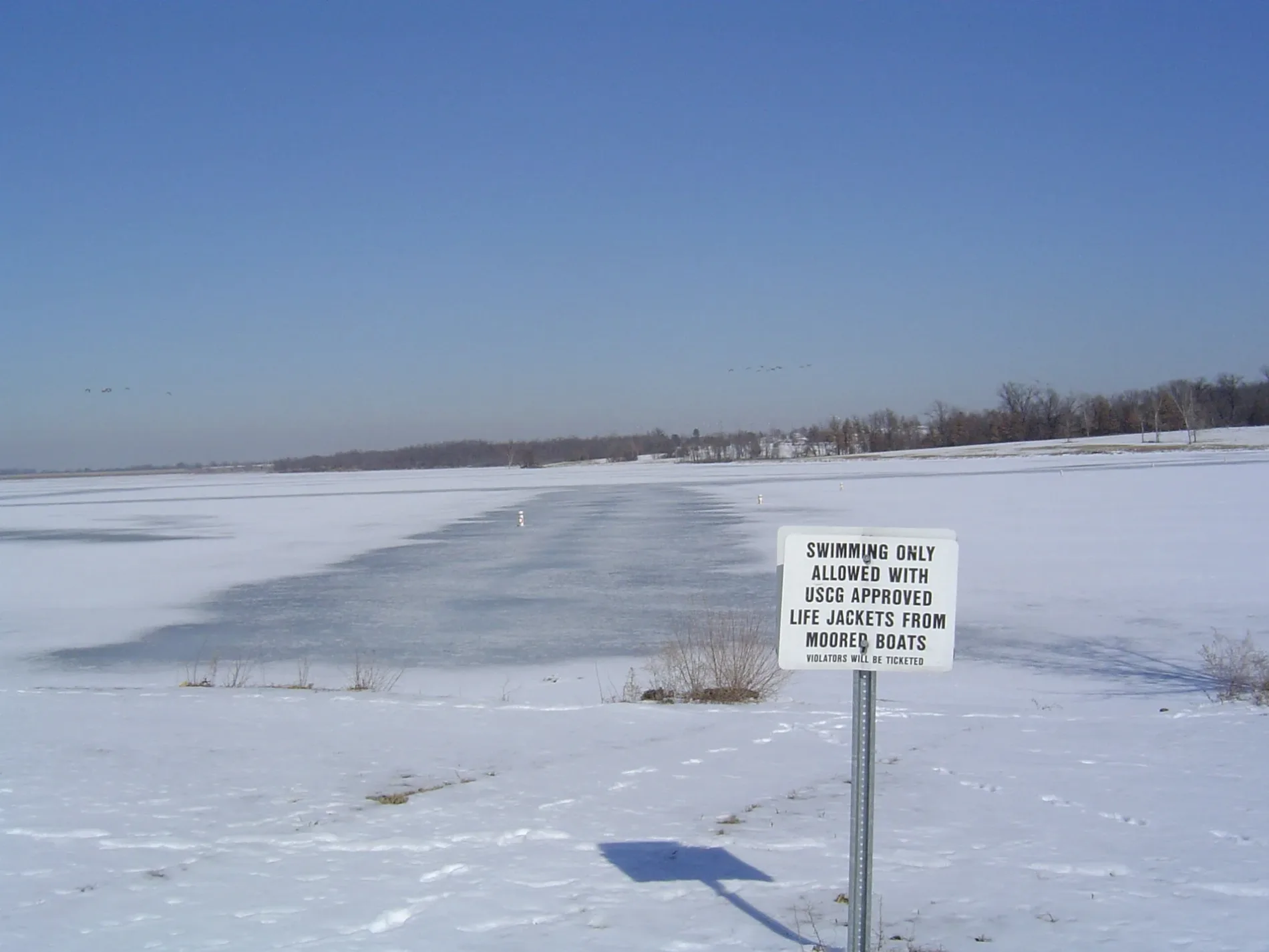
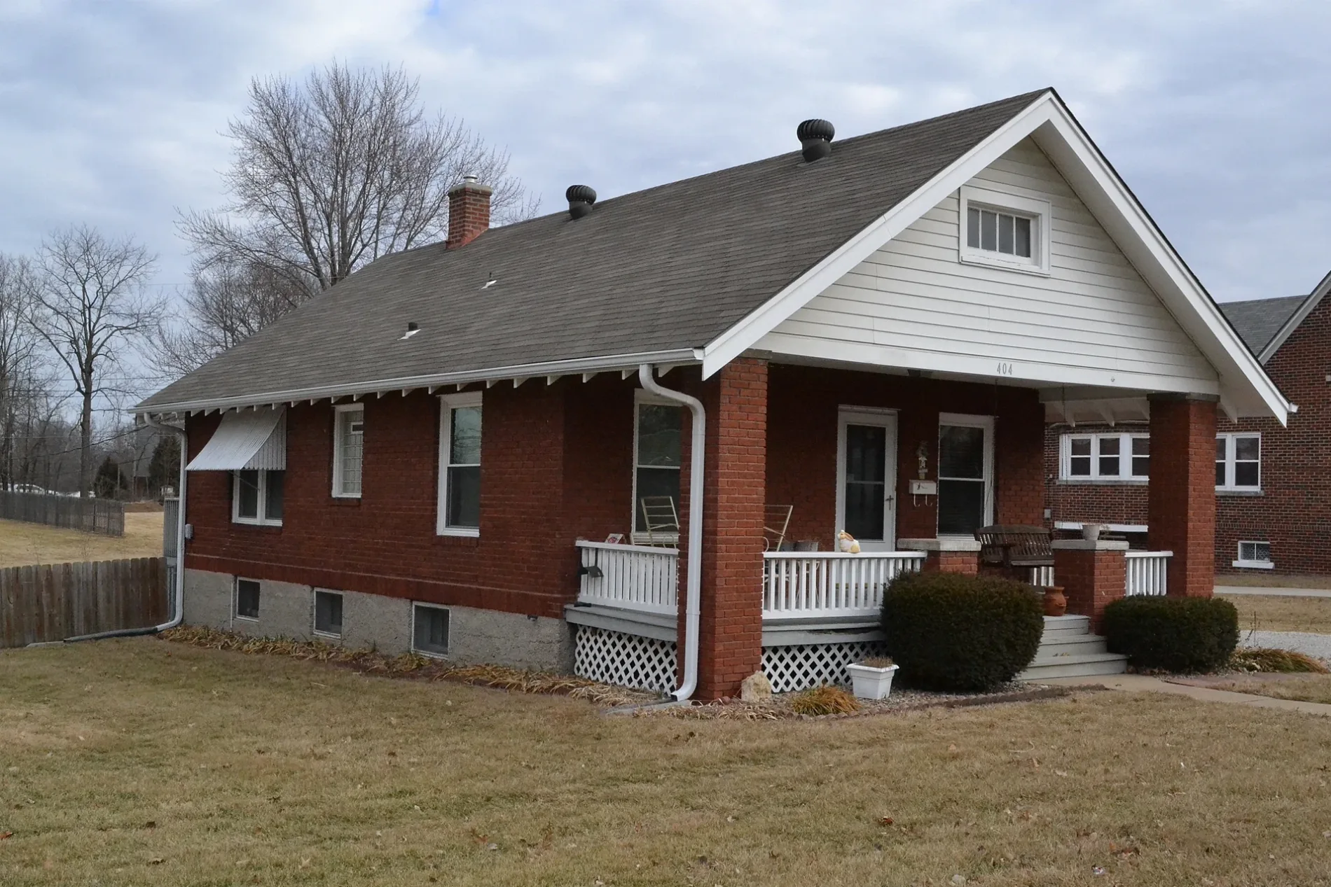
Streets in Lee's Summit, Missouri
Streets
Residential areas
| Railway | |
| Bus | |
| Streetcar |
| Bike path | |
| Bike lane on roadway | |
| Cycling allowed on bus lane | |
| Bicycle street | |
| Open to cyclists | |
| Open to cyclists, good path | |
| Cycling prohibited | |
| Cobblestone |
| Long-distance bike route | (depending on scale) | |
| Long-distance bike route |
| Path |
| Long-distance hiking trail | (depending on scale) | |
| Long-distance hiking trail | ||
| Pedestrians prohibited |