
London Way in Belton, Missouri
London Way in Belton is a residential street. It runs in an east-west direction starting from South Cleveland Avenue and crosses Sussex Court and Dover Court and ends at West North Avenue.
- Road Type
- residential street
- Route
- east-west
Image
Fast food restaurants
Auto parts stores
Pharmacies
Ice cream shops
Clothing stores
Schools
Places of worship
Video game stores
Dry cleaners
Dentist offices
Hair salons
Cell phone stores
Cafes
Bookstores
Restaurants
Shoe stores
Streets nearby
South Cleveland Avenue250 ft
Cleveland Avenue350 ft
Oxford Court350 ft
Sussex Court550 ft
North Cleveland Avenue0.1 mi
Mill Court0.2 mi
Trevis Avenue0.2 mi
Concord Street0.2 mi
Carol Avenue0.2 mi
Dawn Avenue0.2 mi
Dover Court0.2 mi
Westover Road0.2 mi
Cromwell Court0.2 mi
Westover Circle0.2 mi
Stacey Drive0.3 mi
Westover Court0.3 mi
Mill Street0.3 mi
Plaza Acres Court0.4 mi
North Hillcrest Road0.4 mi
Hillcrest Circle0.4 mi
South Hillcrest Road0.4 mi
Hillcrest Court0.4 mi
Lacy Court0.4 mi
Jefferson Avenue0.4 mi
Mark Lane0.4 mi
South Circle Drive0.4 mi
Lacy Lane0.4 mi
Monroe Avenue0.4 mi
South Jefferson Avenue0.5 mi
Hargis Court0.5 mi
Airway Lane0.5 mi
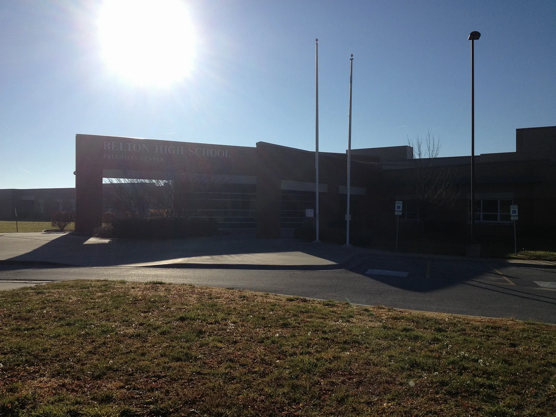
West North AvenueBelton High School Freshman Center, Saint Sabina Parish
0.5 mi
Airway Circle0.5 mi
Baldwin Street0.5 mi
Hargis Lane0.5 mi
Airway Court0.5 mi
Hamilton Lane0.5 mi
Sunset Lane0.5 mi
North Park Drive0.6 mi
Public transit map Belton Legend
| Railway | |
| Bus | |
| Streetcar |
Bicycle map Belton Legend
| Bike path | |
| Bike lane on roadway | |
| Cycling allowed on bus lane | |
| Bicycle street | |
| Open to cyclists | |
| Open to cyclists, good path | |
| Cycling prohibited | |
| Cobblestone |
| Long-distance bike route | (depending on scale) | |
| Long-distance bike route |
Pedestrian map Belton Legend
| Path |
| Long-distance hiking trail | (depending on scale) | |
| Long-distance hiking trail | ||
| Pedestrians prohibited |