
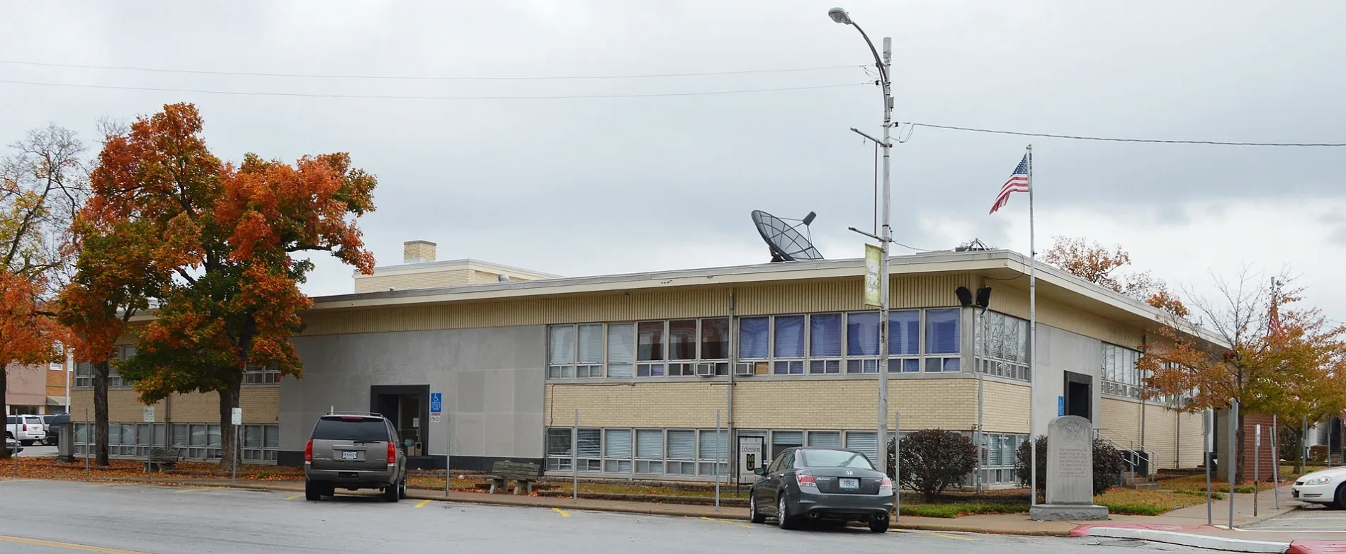
East Benton Street in Buffalo, Missouri
East Benton Street in Buffalo is a residential street. It runs in an east-west direction starting from West Benton Street and crosses North Maple Street, Cedar Drive, Poplar Street and Cherry. It ends in a cul-de-sac. East Benton Street also exists in Barry County, Osage County, Macon County, Carroll County and Lawrence County.
- Road Type
- residential street
- Route
- east-west
Image
Clinics
Community centers
Thrift stores
Tire dealers
Supermarkets
Liquor stores
Fast food restaurants
Police stations
Courthouses
Restaurants
Farm supply stores
Motels
Cannabis dispensaries
Places of worship
Gas stations
Community centers
Funeral homes
Bakeries
Drugstores
Auto parts stores
Streets nearby
Poplar StreetDallas County Sheriff
0.1 mi
Redbud Lane0.1 mi
East Franklin Street0.1 mi
East Madison Street0.2 mi
East Main StreetDallas County Courthouse
0.2 mi
Cedar Drive0.2 mi
Pear0.2 mi
East Mill Street0.2 mi
Franklin Street0.2 mi
Greystone Avenue0.2 mi
Grant Street0.2 mi
Peach0.2 mi
Lincoln0.2 mi
North Maple Street0.2 mi
Butler Street0.3 mi
Commercial StreetBuffalo
0.3 mi
JeffersonSaint Williams
0.3 mi
Haw Street0.3 mi
North Pine Street0.3 mi
Mill Street0.3 mi
Cherry0.3 mi
Park Drive0.3 mi
West Madison Street0.3 mi
Plum Street0.3 mi
Walnut Street0.3 mi
South Maple Street0.3 mi
Missouri0.3 mi
West Ramsey Street0.3 mi
North Walnut0.3 mi
Dallas0.4 mi
West Benton Street0.4 mi
East Dallas Street0.4 mi
Airport Road0.4 mi
Deer Run Drive0.4 mi
North Locust Street0.4 mi
South Locust Street0.4 mi
North Oak Street0.5 mi
Missouri StreetVFW Post 4080
0.5 mi
Prince Street0.5 mi
Elm Street0.5 mi
West Morrow Street0.5 mi
Buildings nearby
Engles Memorial Senior Center0.2 mi
Dallas County 9-1-10.4 mi
Cemeteries nearby
Oaklawn Cemetery0.1 mi
Libraries nearby
Dallas County Library0.3 mi
Parks nearby
Buffalo City Park0.4 mi
Retail buildings nearby
Davidison TV & Electronics0.2 mi
School buildings nearby
Shewmaker Center0.4 mi
Town halls nearby
City Hall0.3 mi
Public transit map Buffalo Legend
| Railway | |
| Bus | |
| Streetcar |
Bicycle map Buffalo Legend
| Bike path | |
| Bike lane on roadway | |
| Cycling allowed on bus lane | |
| Bicycle street | |
| Open to cyclists | |
| Open to cyclists, good path | |
| Cycling prohibited | |
| Cobblestone |
| Long-distance bike route | (depending on scale) | |
| Long-distance bike route |
Pedestrian map Buffalo Legend
| Path |
| Long-distance hiking trail | (depending on scale) | |
| Long-distance hiking trail | ||
| Pedestrians prohibited |