
East 1st Street in Washington, Missouri
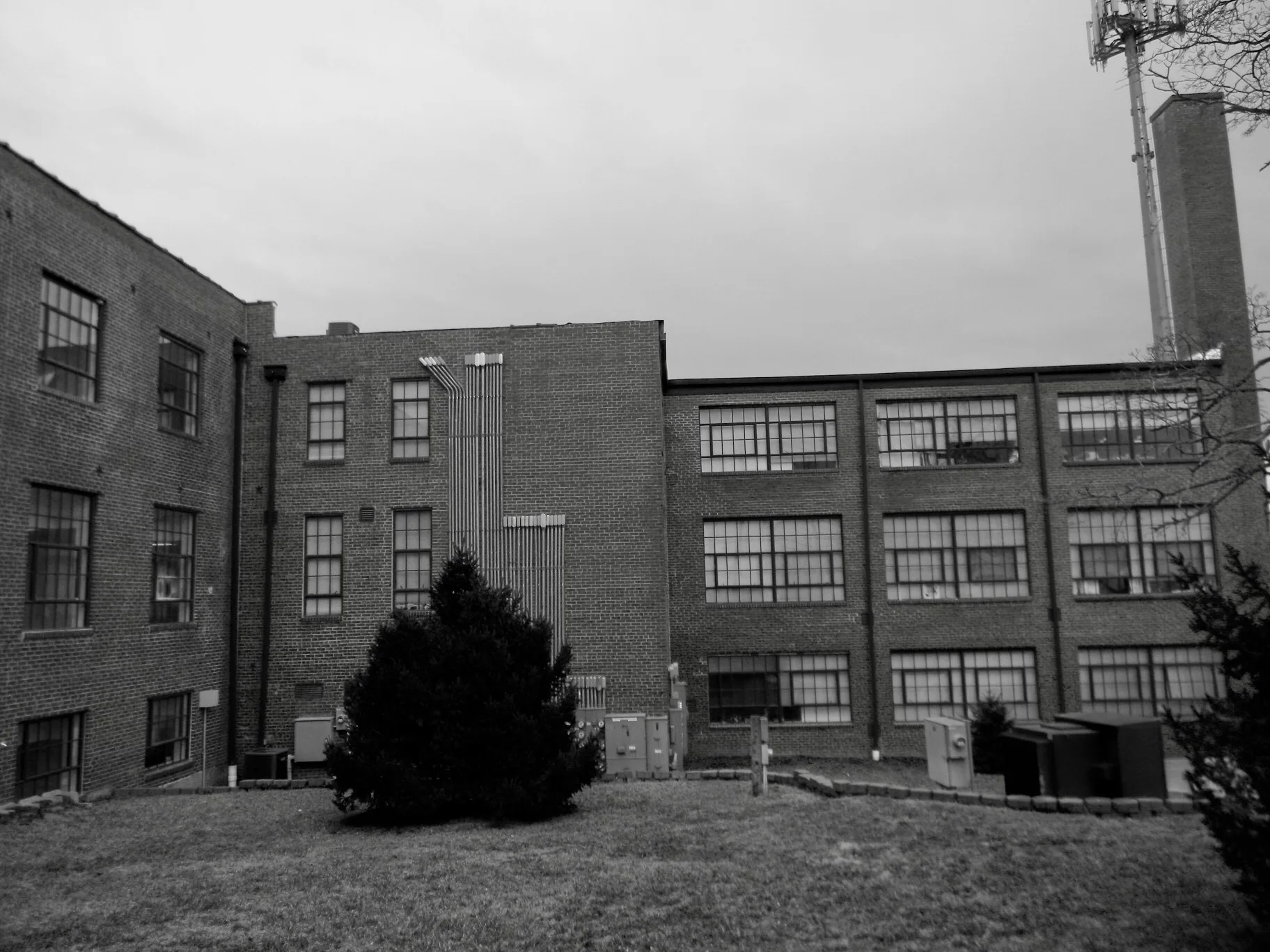
East 1st Street in Washington is a two-lane, asphalted residential street. It runs in a southeast-northwest direction starting from Riverview Place and crosses Boone Street, Hancock Street and Franklin Avenue and ends at Madison Avenue. East 1st Street also exists in Miller County, Callaway County, Platte County, Henry County and Barton County.
- Road Type
- residential street
- Lanes
- 2
- Speed Limit
- 25 mph
- Route
- southeast-northwest
Image
Antique stores
Variety stores
Secondhand stores
Bakeries
Hair salons
Massage therapy clinics
ATMs
Galleries
Game stores
Banks
Liquor stores
Artworks
Convenience stores
Clinics
Clothing stores
Rental services
Medical supply stores
Beauty salons
Sporting goods stores
Religious goods stores
Streets nearby
Hancock Street200 ft
Missouri Avenue400 ft
Boone Street0.1 mi
Riverview Court0.1 mi
Riverview Place0.2 mi
East 5th StreetATM - Bank of Washington, Lincare, Sheila's Hair Care
0.2 mi
Macarthur Street0.2 mi
East 6th Street0.2 mi
Madison Avenue0.2 mi
Franklin AvenueHeartland Enriching Life, Desiree's Merry Go Round, Machine Shop Gallery
0.3 mi
Washington Avenue0.3 mi
East 8th StreetATM - Bank of Franklin County, Ea$y Money, Scotts Home Health Medical Supply, Heritage Community Bank
0.3 mi
East 3rd Street0.3 mi
Fulton Street0.3 mi
Shops nearby
Fastenal0.4 mi
Apartment buildings nearby
Mac Arthur Park Apartments0.2 mi
Auto repair shops nearby
Reicher's Tire and Auto0.3 mi
Beauty salons nearby
Roller & Company Salon and Spa0.2 mi
Buildings nearby
Wilson & Co Insurance0.2 mi
American Legion Post 2180.2 mi
Wasington Area Ambulance District Station0.3 mi
Car dealerships nearby
Ron Elbert Motor0.3 mi
Clinics nearby
Washington Medical Group0.1 mi
Computer stores nearby
Wash PC0.3 mi
Convenience stores nearby
Fas-Trip0.2 mi
Dentist's offices nearby
James C. Mace, DDS PC General Dentistry0.3 mi
Washington Smiles0.4 mi
Doctor's offices nearby
Simmons Wellness Center0.3 mi
Hospitals nearby
Mercy Medical Building0.1 mi
Mercy Hospital0.2 mi
Opticians nearby
Comprehensive Eye Care0.1 mi
Sumner & Birkmann Optometrists0.3 mi
Parks nearby
Krog Park0.2 mi
Railways nearby
UP Jefferson City Subdivision0.4 mi
Residential areas nearby
Tegtmeier200 ft
Podcharles400 ft
Kluesner0.1 mi
Breitenbachs0.1 mi
Gillums Riverview0.1 mi
W H Diekmann Estates0.1 mi
Mrs A Busens0.1 mi
Dieckmanns0.2 mi
J H Schultes0.2 mi
Kasels0.2 mi
Robert Hurst0.3 mi
Bertelsmanns0.3 mi
Restaurants nearby
Rothschild's Family Restaurant0.3 mi
Retail areas nearby
Franklin Plaza0.3 mi
Sports fields nearby
McLaughlin Field0.4 mi
 Public transit map Washington Legend
| Railway | |
| Bus | |
| Streetcar |
 Bicycle map Washington Legend
| Bike path | |
| Bike lane on roadway | |
| Cycling allowed on bus lane | |
| Bicycle street | |
| Open to cyclists | |
| Open to cyclists, good path | |
| Cycling prohibited | |
| Cobblestone |
| Long-distance bike route | (depending on scale) | |
| Long-distance bike route |
 Pedestrian map Washington Legend
| Path |
| Long-distance hiking trail | (depending on scale) | |
| Long-distance hiking trail | ||
| Pedestrians prohibited |