
East 6th Street in Washington, Missouri
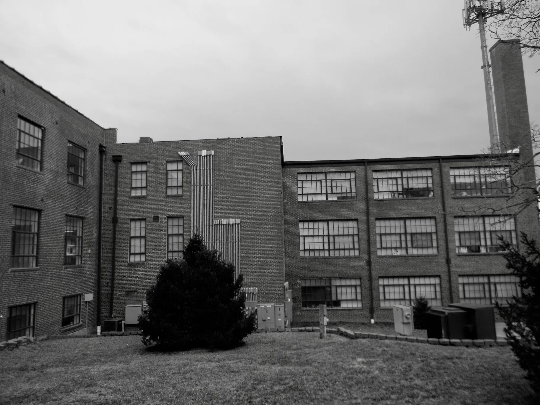
East 6th Street in Washington is a two-lane, asphalted residential street. The street has bike paths (bike protection lane). It runs in a southeast-northwest direction starting from West 6th Street and crosses Jefferson Street, Market Street, Walnut Street, Locust Street, Hooker Street, Burnside Street, Macarthur Street, Hancock Street, Franklin Avenue, Madison Avenue and Washington Avenue. It ends in a cul-de-sac. This street is part of the Bicycle route "Washington Bikeway". East 6th Street also exists in Gerald.
- Bike Lane
- shared lane
- Road Type
- residential street
- Lanes
- 2
- Speed Limit
- 25 mph
- Route
- southeast-northwest
Image
Banks
Clinics
Rental services
Galleries
Beauty salons
Sporting goods stores
Social facilities
ATMs
Game stores
Variety stores
Liquor stores
Bakeries
Convenience stores
Clothing stores
Antique stores
Medical supply stores
Secondhand stores
Artworks
Hair salons
Religious goods stores
Streets nearby
Macarthur Street350 ft
Boone Street0.1 mi
East 3rd Street0.2 mi
Holman Street0.2 mi
Hancock Street0.2 mi
East 5th StreetATM - Bank of Washington, Lincare, Sheila's Hair Care
0.2 mi
Burnside Street0.2 mi
Riverview Court0.2 mi
Riverview Place0.2 mi
East 7th Street0.2 mi
East 4th Street0.3 mi
Hooker Street0.3 mi
East 2nd Street0.4 mi
Shops nearby
Hearth &Home350 ft
Apartment buildings nearby
Mac Arthur Park Apartments150 ft
Beauty salons nearby
Roller & Company Salon and Spa300 ft
Buildings nearby
Wilson & Co Insurance300 ft
Car dealerships nearby
Cars Made Simple0.2 mi
Dentist's offices nearby
Washington Oral and Maxillofacial Surgery450 ft
Fast food restaurants nearby
Sonic500 ft
Domino's0.3 mi
Hair salons nearby
East End Barber Shop350 ft
Pubs nearby
The Twisted Fish300 ft
Residential areas nearby
W J Cowherds250 ft
J H Schultes250 ft
Cowherds350 ft
Unnerstalls400 ft
W H Diekmann Estates550 ft
Mrs A Busens0.1 mi
Dieckmanns0.1 mi
Charles H Helms0.1 mi
Oberhaus Ext0.2 mi
Henry Abkemeyer0.2 mi
Podcharles0.2 mi
Taetz0.2 mi
Tegtmeier0.2 mi
F W Kamps Riverview0.2 mi
Gillums Riverview0.2 mi
Gillums Southside0.2 mi
Katrinas Korner0.2 mi
Henry Heinings0.2 mi
Kluesner0.2 mi
Lucinda Owens Estates0.2 mi
River Valley0.2 mi
Holman0.2 mi
Breitenbachs0.3 mi
Otto Hakes0.3 mi
Walter0.3 mi
Burnside Heights0.4 mi
School buildings nearby
Washington Board of Education0.3 mi
Public transit map Washington Legend
| Railway | |
| Bus | |
| Streetcar |
Bicycle map Washington Legend
| Bike path | |
| Bike lane on roadway | |
| Cycling allowed on bus lane | |
| Bicycle street | |
| Open to cyclists | |
| Open to cyclists, good path | |
| Cycling prohibited | |
| Cobblestone |
| Long-distance bike route | (depending on scale) | |
| Long-distance bike route |
Pedestrian map Washington Legend
| Path |
| Long-distance hiking trail | (depending on scale) | |
| Long-distance hiking trail | ||
| Pedestrians prohibited |