
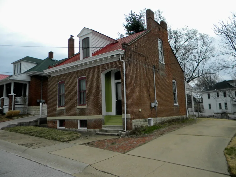
Market Street in Washington, Missouri
Market Street in Washington is a two-lane, asphalted residential street. It runs in a northeast-southwest direction starting from East Front Street and crosses East Main Street, East 2nd Street, East 3rd Street, East 4th Street, East 5th Street and East 6th Street and ends at Jefferson Street. Market Street also exists in Osage County, Monroe County, Macon County, Ste. Genevieve County and Callaway County.
- Road Type
- residential street
- Lanes
- 2
- Speed Limit
- 25 mph
- Route
- northeast-southwest
Image
Clothing stores
Beauty salons
Interior decorators
Variety stores
Rental services
Music schools
Antique stores
ATMs
Social facilities
Bakeries
Restaurants
Dairy stores
Convenience stores
Liquor stores
Artworks
Pubs
Hair salons
Boutiques
Religious goods stores
Streets nearby
East 6th Street50 ft
Jefferson StreetATM-Bank of Washington, Trashy Roots Salon
350 ft
West 7th Street0.1 mi
Locust Street0.1 mi
East 4th Street0.1 mi
Shamrock Place0.1 mi
West 4th StreetGeorge Washington
0.2 mi
Industrial Avenue0.2 mi
Elm StreetHoopla Junk, Lucy Farina Home Decor, Plush Boutique, Washington Academy of Music, Cowan's, Gary R. Lucy Gallery, Washington, Missouri
0.2 mi
Clover Court0.2 mi
West 8th Street0.2 mi
Busch Street0.2 mi
Wainwright Street0.2 mi
Maple Valley Court0.3 mi
East 8th StreetEa$y Money, Scotts Home Health Medical Supply, Heritage Community Bank, ATM - Bank of Franklin County
0.3 mi
East 10th Street0.3 mi
Shops nearby
Franklin County Vacuum400 ft
Wedding Creations and Tuxedo Junction400 ft
Auto repair shops nearby
Krawitz Tire & Auto450 ft
D&M Automotive500 ft
Buildings nearby
Congressman Blaine Luketemeyer Washington District Office300 ft
Nancy Copeland's Private Probation Servives300 ft
Washington Monument Company450 ft
Veterans of Foreign Wars0.2 mi
Cafes nearby
The Washington Coffee House350 ft
Churches nearby
Washington Historical Society AME Annex0.1 mi
Commercial areas nearby
Wainwright Center0.3 mi
Dentist's offices nearby
Demko Orthodontics0.3 mi
Fast food restaurants nearby
Hardee's0.1 mi
Dairy Delight0.1 mi
Domino's0.2 mi
Hardware stores nearby
Washington Lumber Do It Center350 ft
Libraries nearby
Washington Public Library0.1 mi
Liquor stores nearby
Three-O-Five Liquor0.2 mi
Museums nearby
Washington Historical Society Museum0.1 mi
Places of worship nearby
St. Peter's United Church of Christ300 ft
New Life Church0.3 mi
Produce markets nearby
Theirbach Orchards Market0.2 mi
Residential areas nearby
Mense & Mings150 ft
Hy Weber Estates200 ft
J A Lacks550 ft
J Fred Kruel0.1 mi
Shamrock Corner0.2 mi
Steffens0.3 mi
Restaurants nearby
Wimpy's350 ft
Rivers nearby
Busch Creek0.2 mi
School buildings nearby
Immanuel Lutheran School0.1 mi
Tire dealers nearby
Unnerstall Tire450 ft
Town halls nearby
Washington City Hall0.1 mi
Public transit map Washington Legend
| Railway | |
| Bus | |
| Streetcar |
Bicycle map Washington Legend
| Bike path | |
| Bike lane on roadway | |
| Cycling allowed on bus lane | |
| Bicycle street | |
| Open to cyclists | |
| Open to cyclists, good path | |
| Cycling prohibited | |
| Cobblestone |
| Long-distance bike route | (depending on scale) | |
| Long-distance bike route |
Pedestrian map Washington Legend
| Path |
| Long-distance hiking trail | (depending on scale) | |
| Long-distance hiking trail | ||
| Pedestrians prohibited |