
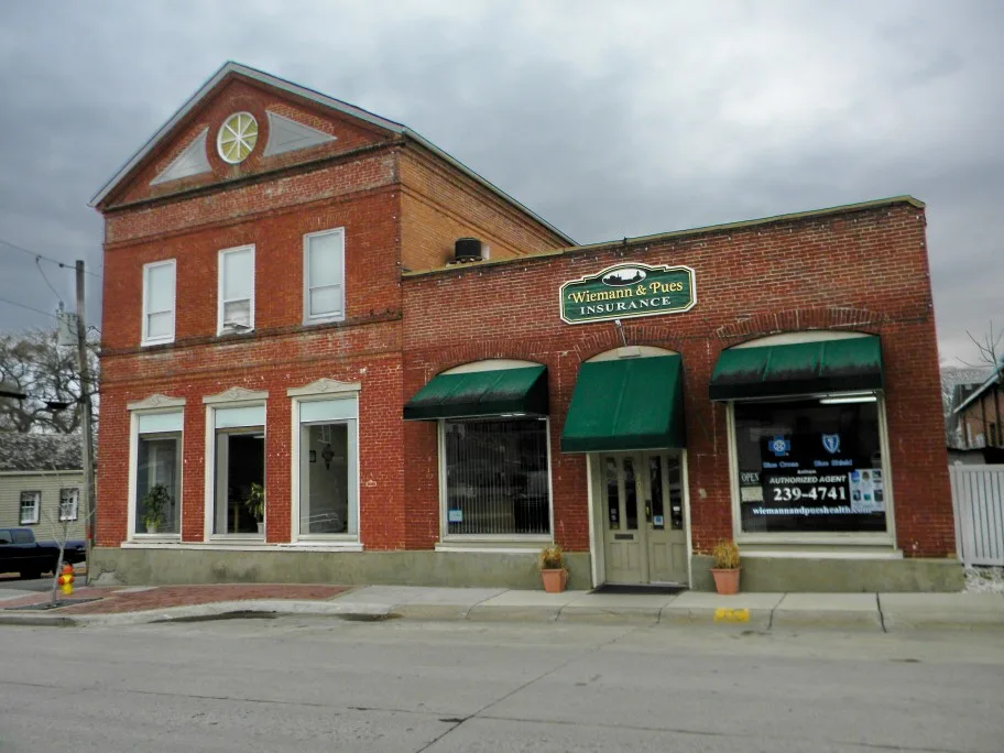
East Main Street in Washington, Missouri
East Main Street in Washington is a two-lane, asphalted residential street. It runs in a southeast-northwest direction starting from West Main Street and crosses Jefferson Street, Market Street, Walnut Street and Locust Street. It ends in a cul-de-sac.
- Road Type
- residential street
- Lanes
- 2
- Speed Limit
- 20 mph
- Route
- southeast-northwest
Image
Massage therapy clinics
Liquor stores
Variety stores
Artworks
Cafes
Pubs
Clothing stores
Antique stores
Beauty salons
Sporting goods stores
Rental services
Religious goods stores
Housewares stores
Convenience stores
ATMs
Bakeries
Hair salons
Game stores
Clinics
Opticians
Streets nearby
Locust Street350 ft
East 2nd Street0.1 mi
Walnut StreetXpress Liquor & Smokes
0.1 mi
Hooker Street0.1 mi
Rotary Riverfront Trail0.1 mi
East 3rd Street0.2 mi
East Front Street0.2 mi
West 2nd StreetEnvy Apparal and Accessories, DF ingredients, I.B. Nuts & Fruit Too, U.S. Bank
0.2 mi
Holman Street0.2 mi
Riverview Place0.2 mi
West Front StreetMMTAS Art Gallery, Visitor Center, Megan Whittmore M.D., Riverfront Marketing Group LLC, Marquart's Landing, Paperbacks for Educators, Otis Campbells, Washington, The 514, The Tipsy Keg
0.2 mi
Lafayette StreetDW Baseball Company
0.2 mi
Elbert DriveWashington
0.3 mi
Riverview Court0.3 mi
Antique stores nearby
Waterworks Antiques0.2 mi
Buildings nearby
USGS River Gauge550 ft
Wiemann & Pues0.2 mi
H&R Block0.2 mi
Marketing Management Group0.2 mi
Churches nearby
Southern Presbyterian Church0.1 mi
Washington Historical Society AME Annex0.2 mi
Fitness centers nearby
Condition One Crossfit0.2 mi
Gardens nearby
Hansie Holdmeyer Memorial Garden0.2 mi
Guest houses nearby
Marie Krog House0.2 mi
Gottfried Cabin Gast Haus0.2 mi
Parks nearby
Rennick Riverfront Park0.2 mi
Places of worship nearby
First Church of Christian Scientist0.1 mi
Produce markets nearby
Theirbach Orchards Market0.2 mi
Railways nearby
UP Jefferson City Subdivision0.2 mi
Residential areas nearby
Schwarzer300 ft
Droege500 ft
Breckenkamp500 ft
Burnside Heights0.1 mi
Walter0.2 mi
Otto Hakes0.2 mi
River Valley0.2 mi
Holman0.2 mi
J Fred Kruel0.2 mi
Lucinda Owens Estates0.2 mi
Katrinas Korner0.2 mi
F W Kamps Riverview0.2 mi
Oberhaus Ext0.3 mi
Gillums Riverview0.3 mi
Retail buildings nearby
Tamm Building0.2 mi
Francis Becker Building0.2 mi
Zachariah Foss House0.2 mi
School buildings nearby
Washington Board of Education0.1 mi
Shelters nearby
Chamber of Commerce Pavilion0.2 mi
Vacation apartments nearby
Stephens Jones House Inn0.2 mi
 Public transit map Washington Legend
| Railway | |
| Bus | |
| Streetcar |
 Bicycle map Washington Legend
| Bike path | |
| Bike lane on roadway | |
| Cycling allowed on bus lane | |
| Bicycle street | |
| Open to cyclists | |
| Open to cyclists, good path | |
| Cycling prohibited | |
| Cobblestone |
| Long-distance bike route | (depending on scale) | |
| Long-distance bike route |
 Pedestrian map Washington Legend
| Path |
| Long-distance hiking trail | (depending on scale) | |
| Long-distance hiking trail | ||
| Pedestrians prohibited |