
Maple Valley Court in Washington, Missouri
Maple Valley Court in Washington is a residential street. It runs in a southeast-northwest direction starting from Locust Street.
- Road Type
- residential street
- Route
- southeast-northwest
Image
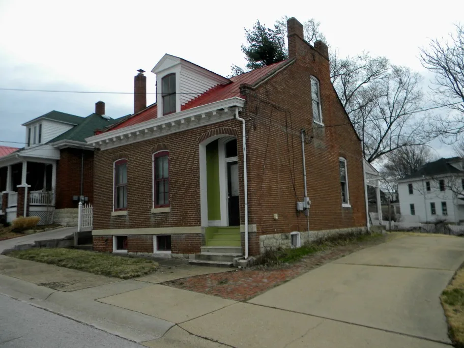
Variety stores
Game stores
Secondhand stores
Clothing stores
Cafes
Pubs
Galleries
ATMs
Banks
Artworks
Dentist offices
Social facilities
Hair salons
Clinics
Liquor stores
Rental services
Medical supply stores
Beauty salons
Doctor's offices
Bakeries
Interior decorators
Streets nearby
Locust Street350 ft
East 8th StreetEa$y Money, Scotts Home Health Medical Supply, Heritage Community Bank, ATM - Bank of Franklin County
400 ft
East 10th Street400 ft
East 11th Street400 ft
Clover Court450 ft
Wainwright Street0.1 mi
Hooker Street0.1 mi
Shamrock Place0.1 mi
Old Orchard Court0.1 mi
East 7th Street0.1 mi
Jefferson StreetATM-Bank of Washington, Trashy Roots Salon
0.2 mi
Sunnyside Street0.2 mi
Blue Jay Drive0.2 mi
West 10th Street0.2 mi
East 9th Street0.2 mi
West 11th Street0.2 mi
East 12th Street0.3 mi
Southwinds Circle0.3 mi
Southwinds Drive0.4 mi
East 14th StreetATM - US Bank
0.4 mi
Buildings nearby
Veterans of Foreign Wars0.2 mi
Cornerstone Mortgage0.2 mi
Commercial areas nearby
Wainwright Center0.1 mi
Dentist's offices nearby
Demko Orthodontics0.1 mi
Funeral homes nearby
Miller Funeral Home0.3 mi
Grasslands nearby
Outdoor Classroom0.2 mi
Liquor stores nearby
Three-O-Five Liquor450 ft
Places of worship nearby
New Life Church300 ft
Residential areas nearby
Shamrock Corner450 ft
Kossmanns Southside450 ft
Steffens450 ft
Henry Heinings0.1 mi
Gillums Southside0.1 mi
Old Orchard0.2 mi
Emily-Ashley-Kayla Subdivision0.2 mi
Kleem0.2 mi
Klemms0.2 mi
Taetz0.2 mi
Henry Abkemeyer0.2 mi
Jaeger0.2 mi
Sawgrass Apartments0.2 mi
Jaspers Southside0.2 mi
Jefferson Colonial Manor0.2 mi
Southwinds of Washington0.3 mi
Carriage Court0.4 mi
Restaurants nearby
Big Boys Grilled Subs and Wings0.2 mi
Rivers nearby
Busch Creek0.2 mi
School buildings nearby
Washington High School0.3 mi
Washington Middle School0.4 mi
 Public transit map Washington Legend
| Railway | |
| Bus | |
| Streetcar |
 Bicycle map Washington Legend
| Bike path | |
| Bike lane on roadway | |
| Cycling allowed on bus lane | |
| Bicycle street | |
| Open to cyclists | |
| Open to cyclists, good path | |
| Cycling prohibited | |
| Cobblestone |
| Long-distance bike route | (depending on scale) | |
| Long-distance bike route |
 Pedestrian map Washington Legend
| Path |
| Long-distance hiking trail | (depending on scale) | |
| Long-distance hiking trail | ||
| Pedestrians prohibited |