
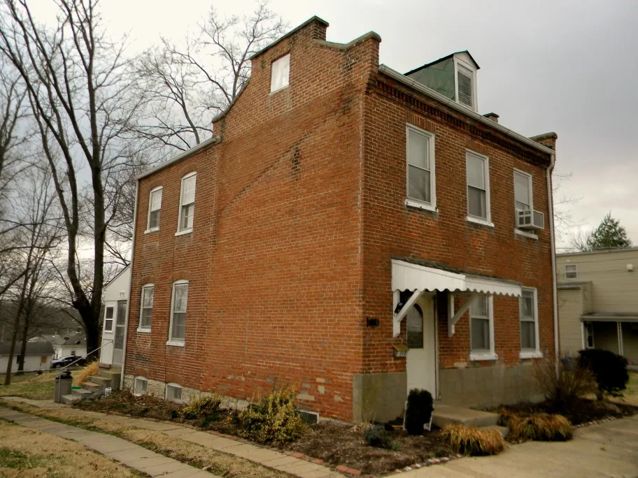
Fremont Street in Washington, Missouri
Fremont Street in Washington is a residential street. It runs in an east-west direction and crosses Stafford Street and Dubois Street and ends at Cedar Street, while the other end is a cul-de-sac. Fremont Street also exists in Cape Girardeau County.
- Road Type
- residential street
- Route
- east-west
Image
Artworks
Pubs
Dairy stores
Music schools
Art galleries
Bookstores
Antique stores
ATMs
Interior decorators
Boutiques
Opticians
Housewares stores
Convenience stores
Clothing stores
Social facilities
Restaurants
Farm stores
Cafes
Streets nearby
Dubois Street50 ft
Dubois Court250 ft
Plaster Avenue0.1 mi
West 5th StreetBatteries R Us
0.2 mi
Horn Street0.2 mi
West 6th Street0.2 mi
Frank Street0.2 mi
Elm StreetHoopla Junk, Lucy Farina Home Decor, Plush Boutique, Washington Academy of Music, Cowan's, Gary R. Lucy Gallery, Washington, Missouri
0.2 mi
West 3rd StreetWashington, Wayport Counseling, Old Dutch Tavern
0.2 mi
Village West Court0.2 mi
Williams Street0.2 mi
Pine Street0.3 mi
Cedar Street0.3 mi
West 2nd StreetEnvy Apparal and Accessories, DF ingredients, I.B. Nuts & Fruit Too, U.S. Bank
0.3 mi
Birchwood Court0.3 mi
McLean Avenue0.3 mi
Roberts Street0.3 mi
James Street0.3 mi
Olive Street0.3 mi
Nora Street0.3 mi
Cottage Park Lane0.3 mi
West Main StreetJMJ Sacred Family, Sebastian Loushane Salon, Me & My Mommy Again, My Vintage Varia, Osage Food Products, Downtown Washington, Joes's Bakery & Delicatessen, Main Street Perk, Country Living, Obermark Optometry, Encore, The Painted Home, Washington Farmers Market
0.3 mi
Stafford Street0.3 mi
Johnson Street0.3 mi
Hillcrest0.3 mi
Bookstores nearby
Neighborhood Reads0.2 mi
Buildings nearby
Craig Hellman Attorney at Law, PC0.2 mi
Executive Center0.3 mi
Meeting Rooms0.3 mi
Rectory0.3 mi
Notre Dame Hall0.3 mi
Florists nearby
Four Seasons Florist0.2 mi
General stores nearby
Not Just Cut and Dried0.2 mi
Hotels nearby
Old Dutch Hotel0.2 mi
Pharmacies nearby
Schroeder Drugs0.3 mi
Places of worship nearby
Immanuel Lutheran Church0.2 mi
St. Francis Borgia0.3 mi
Religious areas nearby
St. Francis Borgia Parish0.2 mi
Residential areas nearby
Eliza Menkhaus0.2 mi
Birchwood Courts0.3 mi
Cottage Park0.3 mi
Hillcrest Apartments0.3 mi
Restaurants nearby
The Tilted Skillet400 ft
School buildings nearby
Saint Francis Borgia Grade School0.2 mi
Immanuel Lutheran School0.2 mi
St. Francis Borgia Preschool and Middle School Building0.2 mi
Sheds nearby
Maintenence Shed0.3 mi
Social facilities nearby
Bell Psycological Services0.2 mi
Stationery stores nearby
Office Supplies & Equipment0.2 mi
 Public transit map Washington Legend
| Railway | |
| Bus | |
| Streetcar |
 Bicycle map Washington Legend
| Bike path | |
| Bike lane on roadway | |
| Cycling allowed on bus lane | |
| Bicycle street | |
| Open to cyclists | |
| Open to cyclists, good path | |
| Cycling prohibited | |
| Cobblestone |
| Long-distance bike route | (depending on scale) | |
| Long-distance bike route |
 Pedestrian map Washington Legend
| Path |
| Long-distance hiking trail | (depending on scale) | |
| Long-distance hiking trail | ||
| Pedestrians prohibited |