
High Street in Washington, Missouri
High Street in Washington is a two-lane, asphalted local road. It runs in a north-south direction starting from West Front Street and crosses West Main Street, West 2nd Street, Roberts Street, Circle Drive, Edith Street, Esther Street, West 3rd Street, James Street, Horn Street, West 5th Street and West 6th Street. This street is part of the Bicycle route "Washington Bikeway". High Street also exists in New Haven.
- Road Type
- local road
- Lanes
- 2
- Speed Limit
- 30 mph
- Route
- north-south
Image
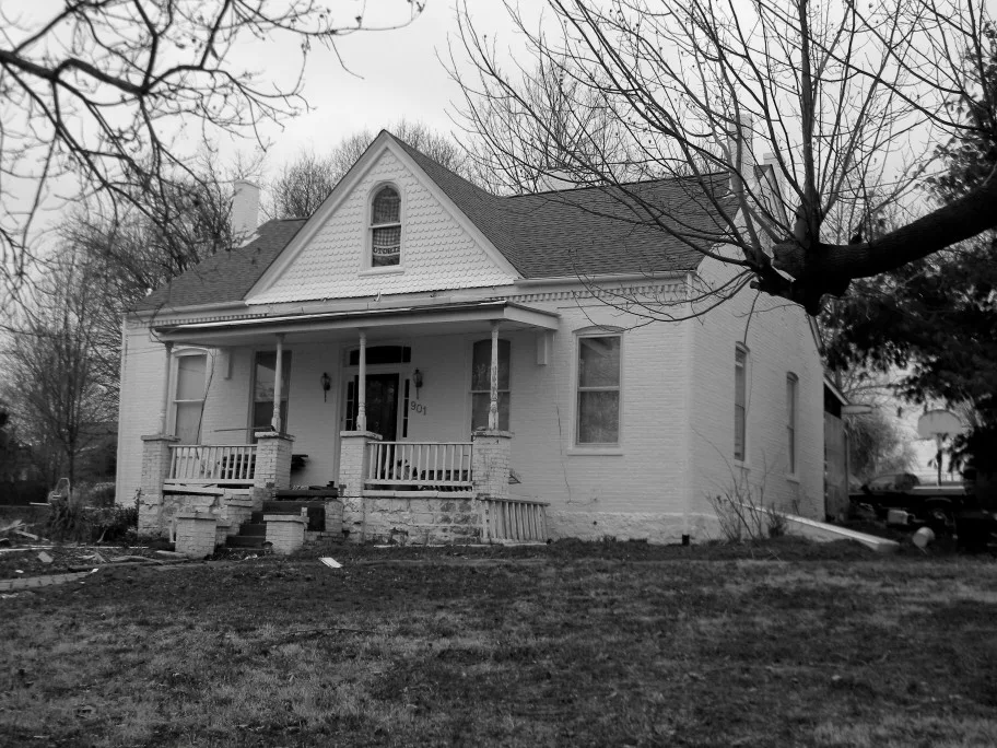
Dentist offices
Fast food restaurants
Dry cleaners
Pubs
Interior decorators
Convenience stores
Restaurants
ATMs
Artworks
Hearing aid centers
Social facilities
Rental services
Boutiques
Clinics
Cafes
Doctor's offices
Liquor stores
Bike shops
Places of worship
Antique stores
Dairy stores
Streets nearby
Grayson Ridge Drive500 ft
Tiffany Lane0.1 mi
Ridgeview Drive0.1 mi
Jasper Lane0.2 mi
Jason Ridge Drive0.2 mi
Devine Drive0.2 mi
Jade Lane0.2 mi
Ron Avenue0.2 mi
Meadowlark Drive0.2 mi
Nick Ridge Drive0.2 mi
Cherry Lane0.2 mi
Running Creek Court0.2 mi
Regina Drive0.2 mi
Image Drive0.2 mi
Emil Court0.2 mi
Glenn Avenue0.3 mi
Abbey Ridge Drive0.3 mi
West 14th StreetAdvanced Sight Center, Reiser Family Dental, Mercy Coprorate Health, Xpresso Coffee House
0.3 mi
Stafford Street0.3 mi
Westridge Drive0.3 mi
Huxel Drive0.3 mi
Oriole Lane0.3 mi
West 9th Street0.3 mi
Irish Lane0.3 mi
Lyons Gate Court0.3 mi
West 12th Street0.3 mi
West 8th Street0.3 mi
Nora Street0.3 mi
Lyon Street0.4 mi
West 7th Street0.4 mi
West 13th Street0.4 mi
Linden Lane0.4 mi
Klingsick Lane0.4 mi
Elm Lane0.5 mi
Auto parts stores nearby
NAPA Auto Parts0.2 mi
Cemeteries nearby
Wildey Cemetery0.3 mi
Event venues nearby
Knights of Columbus Hall Council #11210.3 mi
Fast food restaurants nearby
Concession Stand0.3 mi
Museums nearby
Iron Spike Model Train Museum0.3 mi
Residential areas nearby
Westridge & Jaspers500 ft
Klekamps0.2 mi
Unnerstalls0.2 mi
Villas at River Crossing0.3 mi
Sawgrass Apartments0.3 mi
Stafford Bluffs0.4 mi
Rivers nearby
Busch Creek0.3 mi
School buildings nearby
St. Francis Borgia Regional High School400 ft
Sheds nearby
Announcers Booth0.3 mi
Technical colleges nearby
Four Rivers Career Center0.2 mi
 Public transit map Washington Legend
| Railway | |
| Bus | |
| Streetcar |
 Bicycle map Washington Legend
| Bike path | |
| Bike lane on roadway | |
| Cycling allowed on bus lane | |
| Bicycle street | |
| Open to cyclists | |
| Open to cyclists, good path | |
| Cycling prohibited | |
| Cobblestone |
| Long-distance bike route | (depending on scale) | |
| Long-distance bike route |
 Pedestrian map Washington Legend
| Path |
| Long-distance hiking trail | (depending on scale) | |
| Long-distance hiking trail | ||
| Pedestrians prohibited |