
West 4th Street in Washington, Missouri
West 4th Street in Washington is a two-lane, asphalted residential street. It runs in a southeast-northwest direction starting from Cedar Street and crosses Elm Street, Oak Street, Lafayette Street and Jefferson Street and ends at East 4th Street. Nearby there is an artwork. West 4th Street also exists in Barry County, Osage County, Macon County, Miller County and Callaway County.
- Road Type
- residential street
- Lanes
- 2
- Speed Limit
- 20 mph
- Route
- southeast-northwest
Image
Artworks
Streets nearby
Market Street550 ft
West 3rd StreetWashington, Wayport Counseling, Old Dutch Tavern
0.1 mi
Oak StreetATM - Bank of Washingnton, Tanglewood Cottage, The Wellness Spot, Elements of Health
0.1 mi
West Main StreetJMJ Sacred Family, Sebastian Loushane Salon, Me & My Mommy Again, My Vintage Varia, Osage Food Products, Downtown Washington, Joes's Bakery & Delicatessen, Main Street Perk, Country Living, Obermark Optometry, Encore, The Painted Home, Washington Farmers Market
0.2 mi
Shops nearby
B&J Printing0.2 mi
Bakeries nearby
Jennie & Grace0.2 mi
Banks nearby
U.S. Bank0.2 mi
Bank of Washington0.2 mi
Bookstores nearby
Neighborhood Reads200 ft
Buildings nearby
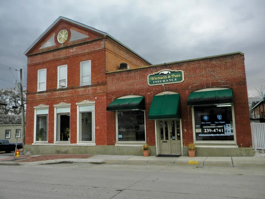
Wiemann & Pues0.1 mi
Craig Hellman Attorney at Law, PC0.1 mi
Executive Center0.1 mi
Missourian Publishing Company0.1 mi
Masonic Temple Hope Lodge #2510.2 mi
Bank of Washington Building0.2 mi
Butcher shops nearby
Ed's Meat Market0.1 mi
Clothing stores nearby
Addi's0.2 mi
Commercial buildings nearby
Commercial Hotel0.2 mi
Beckmann Building0.2 mi
Florists nearby
Four Seasons Florist0.2 mi
Gardens nearby
Hansie Holdmeyer Memorial Garden0.1 mi
Guest houses nearby
Gottfried Cabin Gast Haus0.1 mi
Marie Krog House0.1 mi
Hair salons nearby
Jane's Family Hair Care0.2 mi
Tom's Barber Shop0.2 mi
Libraries nearby
Washington Public Library250 ft
Parks nearby
Lafayette Plaza0.1 mi
Pharmacies nearby
Schroeder Drugs0.2 mi
Police stations nearby
Washington Police Station250 ft
Post offices nearby
Washington Post Office - Downtown Station0.1 mi
Pubs nearby
John G's Tap Room0.2 mi
Retail buildings nearby
Tamm Building0.1 mi
Schuenmeyer Saloon0.2 mi
Bertelsmann Building0.2 mi
Washington Bakery0.2 mi
Voss Bazaar0.2 mi
Dickbraeder Building0.2 mi
Commercial Hotel Addition0.2 mi
Francis Becker Building0.2 mi
G. Henry Berweck Building0.2 mi
Mense Building0.2 mi
Schmidt Jewelery Store0.2 mi
The Grothaus Building0.2 mi
Frank Joerden Building0.2 mi
Edward G. Busch Building0.2 mi
Social facilities nearby
Bell Psycological Services500 ft
Stationery stores nearby
Office Supplies & Equipment0.2 mi
Tire dealers nearby
Unnerstall Tire400 ft
Town halls nearby
Washington City Hall150 ft
 Public transit map Washington Legend
| Railway | |
| Bus | |
| Streetcar |
 Bicycle map Washington Legend
| Bike path | |
| Bike lane on roadway | |
| Cycling allowed on bus lane | |
| Bicycle street | |
| Open to cyclists | |
| Open to cyclists, good path | |
| Cycling prohibited | |
| Cobblestone |
| Long-distance bike route | (depending on scale) | |
| Long-distance bike route |
 Pedestrian map Washington Legend
| Path |
| Long-distance hiking trail | (depending on scale) | |
| Long-distance hiking trail | ||
| Pedestrians prohibited |