
Park Central East in Springfield, Missouri
Park Central East in Springfield is a two-lane, asphalted secondary road. It runs in an east-west direction starting from Park Central Square and crosses North Robberson Avenue, South Robberson Avenue, North Jefferson Avenue and South Jefferson Avenue and ends at East Saint Louis Street. This street is part of the Bicycle route "66 (Missouri)". Nearby you can find among others 3 restaurants, a bar, a clothing store and a convenience store.
- Road Type
- secondary road
- Lanes
- 2
- Speed Limit
- 25 mph
- Route
- east-west
Image
Coffee shops
Streets nearby
North Jefferson Avenue300 ft
South Robberson AvenueThe Order, Luna Bar, Stick it in Your Ear
350 ft
East McDaniel StreetSpringfield
450 ft
Park Central South450 ft
Park Central North450 ft
East Olive StreetThe Riksha
500 ft
South Jefferson AvenueG. Pearson Ward YMCA, Zayka Indian Cuisine, 1984, Prairie Pie, Cicis
0.1 mi
North Benton AvenueWalgreens, Midtowne Dental Center
0.1 mi
East Water Street0.1 mi
East Trafficway StreetWalgreens, DUGOUT Bar & Grill
0.1 mi
South Benton Avenue0.2 mi
East Saint Louis StreetHoliday Inn Express and Suites Springfield - Downtown, Price Cutter Plus, Steak 'n Shake, Korea House, Price Cutter Express, Brick & Mortar Coffee, St Louis & National (SE)
0.2 mi
North Kimbrough Avenue0.2 mi
Memorial Plaza0.3 mi
Apartment buildings nearby
Cresco Apartments500 ft
Frisco Lofts550 ft
The 505 Student Housing0.2 mi
Walnut Place0.2 mi
Banks nearby
U.S. Bank0.1 mi
Bars nearby
Ernie Biggs550 ft
Billiards Sports Bar & Grill0.2 mi
Buildings nearby
Holland Building150 ft
Outland Ballroom0.1 mi
Discovery Center of Springfield0.1 mi
Community Partnership of the Ozarks0.2 mi
State of Missouri Division of Employment Security0.2 mi
American Business Systems0.2 mi
AT&T0.2 mi
Clinics nearby
Jordan Valley Community Health Center0.3 mi
Commercial buildings nearby
Netter-Ullman Building200 ft
Woodruff Building250 ft
American Legion Post 690.3 mi
Funeral homes nearby
Herman Lohmeyer Funeral Home0.2 mi
Hotels nearby
Hotel Vandivort0.1 mi
Marketplaces nearby
STD Flea Market Central0.2 mi
Mosques nearby
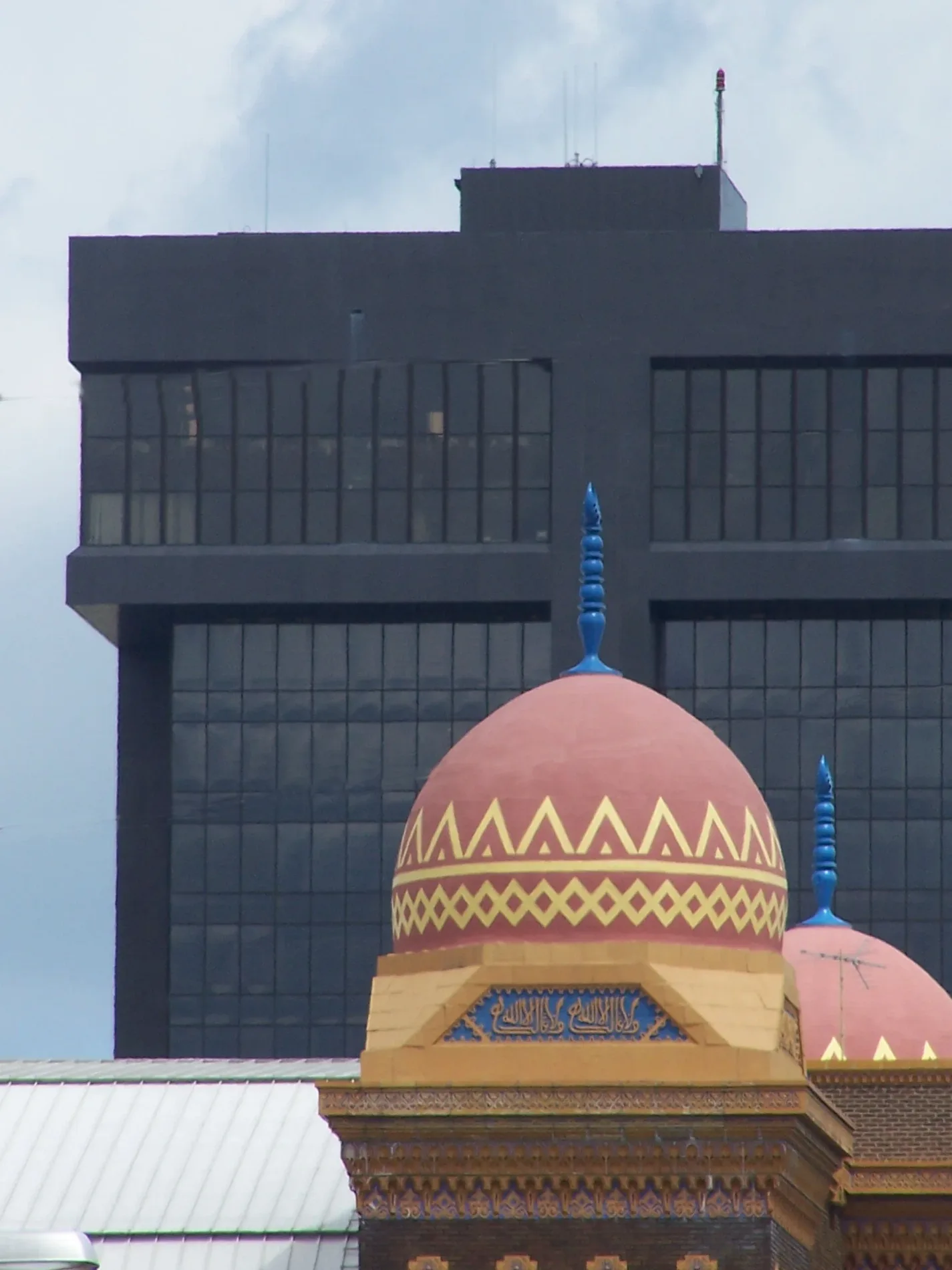
Abou Ben Adhem Shrine Mosque0.3 mi
Museums nearby
History Museum on the Square400 ft
Parks nearby
Ozarks Jubilee Park450 ft
Founders Park0.1 mi
Places of worship nearby
The Downtown Church0.1 mi
Restaurants nearby
Pappo's Pizzeria0.1 mi
Taylor's Drive In0.2 mi
Retail buildings nearby
Sherwin-Williams0.2 mi
Ballew Saw & Tool, INC.0.3 mi
Frank's Uniform0.3 mi
Streams nearby
Jordan Creek0.2 mi
Theaters nearby
Gillioz Theatre200 ft
The Landers0.1 mi
University buildings nearby
MSU Free Enterprise Center0.2 mi
 Public transit map Springfield Legend
| Railway | |
| Bus | |
| Streetcar |
 Bicycle map Springfield Legend
| Bike path | |
| Bike lane on roadway | |
| Cycling allowed on bus lane | |
| Bicycle street | |
| Open to cyclists | |
| Open to cyclists, good path | |
| Cycling prohibited | |
| Cobblestone |
| Long-distance bike route | (depending on scale) | |
| Long-distance bike route |
 Pedestrian map Springfield Legend
| Path |
| Long-distance hiking trail | (depending on scale) | |
| Long-distance hiking trail | ||
| Pedestrians prohibited |