
Southwest Victor Drive in Blue Springs, Missouri
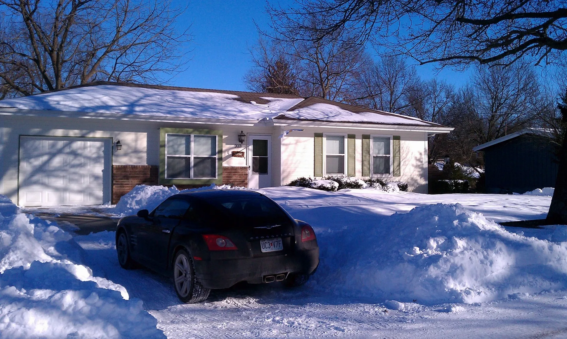
Southwest Victor Drive in Blue Springs is a residential street. It runs in an east-west direction and crosses Southwest Westminister Road, Southwest Hamlet Street, Southwest Earls Court, Southwest Kings Cross Road, South Speas Drive, South Ward Court and South Ward Parkway and ends at Southeast Victor Drive, while the other end is a cul-de-sac.
- Road Type
- residential street
- Route
- east-west
Image
Charging stations
Thrift stores
Hardware stores
Dentist offices
Department stores
Supermarkets
Paint stores
Restaurants
Secondhand stores
Bars
Fountains
Gas stations
Community centers
Beauty salons
Hair salons
Cell phone stores
Artworks
Florists
Pet stores
Fast food restaurants
Streets nearby
Southwest Earls Court150 ft
Southwest Hamlet Street250 ft
Southwest Kings Cross Road400 ft
Southwest Essex Circle450 ft
South Speas Drive0.2 mi
Southwest Westminister RoadChargePoint
0.2 mi
Southwest Joy Court0.2 mi
Southwest 3rd Street0.3 mi
Southwest Keystone DriveGolden Eggroll, Dental Depot
0.3 mi
Southwest Clark LaneCreative Images In Hair & Nail
0.3 mi
Southwest Keystone Court0.3 mi
Southwest 6th Street0.3 mi
Southwest Martin Avenue0.4 mi
Angela Court0.4 mi
Southwest Clark Road0.4 mi
Southwest 9th Street0.4 mi
Southwest Robin Court0.4 mi
Southwest Meadowridge DrivePetland
0.4 mi
Southwest Robin Circle0.5 mi
Auto parts stores nearby
O'Reilly Auto Parts0.3 mi
Banks nearby
Bank of America0.2 mi
Central Bank0.3 mi
Chase0.3 mi
Cafes nearby
Scooter's Coffeehouse0.1 mi
Car washes nearby
Detail Source0.3 mi
Convenience stores nearby
Ling Foodmart0.3 mi
Dentist's offices nearby
White Oak Dental Group0.2 mi
Dental Depot0.3 mi
Doctor's offices nearby
Cockerell & McIntosh Pediatrics - an affiliate of Children's Mercy0.2 mi
Farm supply stores nearby
Buchheit0.1 mi
Fast food restaurants nearby
Culver's0.2 mi
Taco Bell0.2 mi
Sonic0.2 mi
Hardee's0.3 mi
Little Caesars0.3 mi
Daylight Donuts0.4 mi
Gas stations nearby
Phillips 660.3 mi
Pawn shops nearby
Patriot Pawn & Guns0.1 mi
Preschools nearby
Kinder Care Learning Center0.2 mi
Residential areas nearby
Sandstone Place0.3 mi
Plaza Estates0.4 mi
Restaurants nearby
54th Street Grill & Bar0.2 mi
Johnny’s Tavern0.2 mi
Tuscany Italian0.4 mi
Social facilities nearby
Novel Place Senior Living0.3 mi
Sports centers nearby
Rink Ratz, Inc. Rollerskating Rink0.2 mi
Supermarkets nearby
Price Chopper0.2 mi
Tire dealers nearby
Discount Tire0.2 mi
Veterinary clinics nearby
AniMed Animal Hospital0.4 mi
Public transit map Blue Springs Legend
| Railway | |
| Bus | |
| Streetcar |
Bicycle map Blue Springs Legend
| Bike path | |
| Bike lane on roadway | |
| Cycling allowed on bus lane | |
| Bicycle street | |
| Open to cyclists | |
| Open to cyclists, good path | |
| Cycling prohibited | |
| Cobblestone |
| Long-distance bike route | (depending on scale) | |
| Long-distance bike route |
Pedestrian map Blue Springs Legend
| Path |
| Long-distance hiking trail | (depending on scale) | |
| Long-distance hiking trail | ||
| Pedestrians prohibited |