
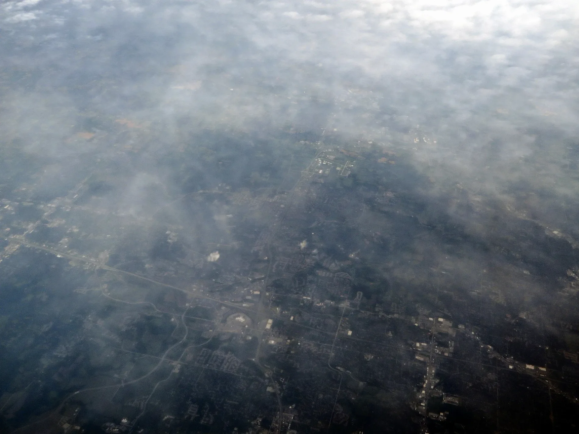
Independence Center Access Drive in Independence, Missouri
Independence Center Access Drive in Independence is an unclassified road. It runs in a north-south direction starting from Arrowhead Avenue and crosses East 39th Street, East 39th Street South and Independence Center Drive.
- Road Type
- unclassified road
- Route
- north-south
Image
Banks
Sporting goods stores
Video game stores
Cell phone stores
Bus stops
- bus lines 301
Gift shops
Hair salons
Payment terminals
Restaurants
Cafes
Radio equipment stores
Clothing stores
Bed stores
Vending machines
Streets nearby
Arrowhead AvenueStarbucks, Arrowhead Avenue at 38th Street
100 ft
Independence Center DriveRally House, Xfinity Comcast Cable, U.S. Bank
250 ft
South Elizabeth StreetCommerce Bank
550 ft
East 39th StreetSmoothie King, Smokehouse BBQ, Mattress Firm, Great Clips, GameStop, AT&T
550 ft
East 38th Terrace South54th Street Grill & Bar
0.1 mi
East 39th Street SouthChuck E. Cheese, Shell, Subway
0.1 mi
East 37th Terrace South37th Terrace at 19120 East 37th Terrace
0.2 mi
South Viking Avenue0.3 mi
East 37th Terrace Court South37th Terrace at 19120 East 37th Terrace, 37th Terrace at AMC Theatres
0.4 mi
South Jackson Drive0.4 mi
South Ponca Avenue0.4 mi
South Bolger DriveWalmart Garden Center, Bolger Drive at Viking Avenue
0.4 mi
South Whitney Avenue0.5 mi
Truman/Eisenhower Presidential Highway0.5 mi
South Whitney Court0.5 mi
Bolger RoadBolger Road at 37th Terrace, Bolger Road at Appletree Condos
0.5 mi
East 37 Terrace South0.5 mi
Cedar Crest Circle0.5 mi
Cedar Crest Drive0.6 mi
South Redwood Drive0.7 mi
Bookstores nearby
Barnes & Noble0.3 mi
Buildings nearby
Stephanie's Bridal Boutique0.1 mi
Dams nearby
Bogler Lake Dam0.6 mi
Department stores nearby
Kohl's0.1 mi
Ross0.2 mi
Marshalls0.2 mi
Target0.5 mi
Electronics stores nearby
Best Buy0.3 mi
Fast food restaurants nearby
Chick-fil-A550 ft
Fazoli's0.2 mi
Taco Bell0.3 mi
McDonald's0.3 mi
Gas stations nearby
QuikTrip0.5 mi
Hotels nearby
Best Western Independence Kansas City0.2 mi
Residence Inn Kansas City Independence0.2 mi
Movie theaters nearby
AMC Independence Commons 200.4 mi
Music stores nearby
Guitar Center0.4 mi
Pet stores nearby
Petco0.5 mi
Residential areas nearby
Independence Ridge Apartments0.5 mi
Restaurants nearby
Perkins0.3 mi
LongHorn Steakhouse0.6 mi
Retail areas nearby
Independence Center0.3 mi
Crossroads0.5 mi
Bolger Square0.6 mi
Shoe stores nearby
Shoe Carnival0.3 mi
Supermarkets nearby
Walmart Supercenter0.4 mi
Tire dealers nearby
NTB0.3 mi
Variety stores nearby
Five Below0.3 mi
Wholesale stores nearby
Sam's Club0.5 mi
 Public transit map Independence Legend
| Railway | |
| Bus | |
| Streetcar |
 Bicycle map Independence Legend
| Bike path | |
| Bike lane on roadway | |
| Cycling allowed on bus lane | |
| Bicycle street | |
| Open to cyclists | |
| Open to cyclists, good path | |
| Cycling prohibited | |
| Cobblestone |
| Long-distance bike route | (depending on scale) | |
| Long-distance bike route |
 Pedestrian map Independence Legend
| Path |
| Long-distance hiking trail | (depending on scale) | |
| Long-distance hiking trail | ||
| Pedestrians prohibited |