
South Grace Avenue in Independence, Missouri
South Grace Avenue in Independence is a residential street. It runs in a north-south direction starting from East 42nd Street South and crosses East Valley View Parkway and ends at East 45th Street.
- Road Type
- residential street
- Route
- north-south
Image
Charging stations
Doctor's offices
Kitchen studios
Hearing aid centers
Pharmacies
Bed stores
Restaurants
Bus stops
Opticians
Banks
Cell phone stores
Fast food restaurants
Hair salons
Ice cream shops
Clinics
Beauty salons
Pastry shops
Video game stores
Streets nearby
East 45th Street200 ft
East 42nd Street SouthCoin
0.1 mi
East Valley View ParkwayMedical Imaging Eastland, Subway, Sport Clips, Jerusalem Cafe, Chick-in Waffle, Crumbl Cookies, BMO, Audibel Hearing Center
0.2 mi
Northwest Valley View Road0.2 mi
Heartland Avenue0.2 mi
East Valley View Circle0.2 mi
South Little Blue Parkway0.2 mi
Joe Thomas Road0.3 mi
South Valley View Circle0.3 mi
Truman/Eisenhower Presidential Highway0.3 mi
South Valley View Road0.3 mi
Trinity Place0.3 mi
Park Ridge Drive0.3 mi
Holke Court0.3 mi
Soccer Entrance0.3 mi
East 47th Drive0.3 mi
Holke Avenue0.4 mi
Dwight D. Eisenhower Highway0.4 mi
Apartment buildings nearby
Building 1500 ft
Building 8500 ft
Building 20.1 mi
Building 60.1 mi
Building 70.1 mi
Building 90.1 mi
Building 30.1 mi
Building 100.1 mi
Building 50.1 mi
Building 40.2 mi
Buildings nearby
Clubhouse500 ft
Blue Ridge Bank & Trust Co Building0.2 mi
Cafes nearby
Dutch Bros. Coffee0.4 mi
Car washes nearby
McBee's Coffee & Carwash0.4 mi
Construction sites nearby
East Independence Branch - Mid-Continent Public Library0.3 mi
Fast food restaurants nearby
Culver's0.2 mi
Arby's0.2 mi
Hospitals nearby
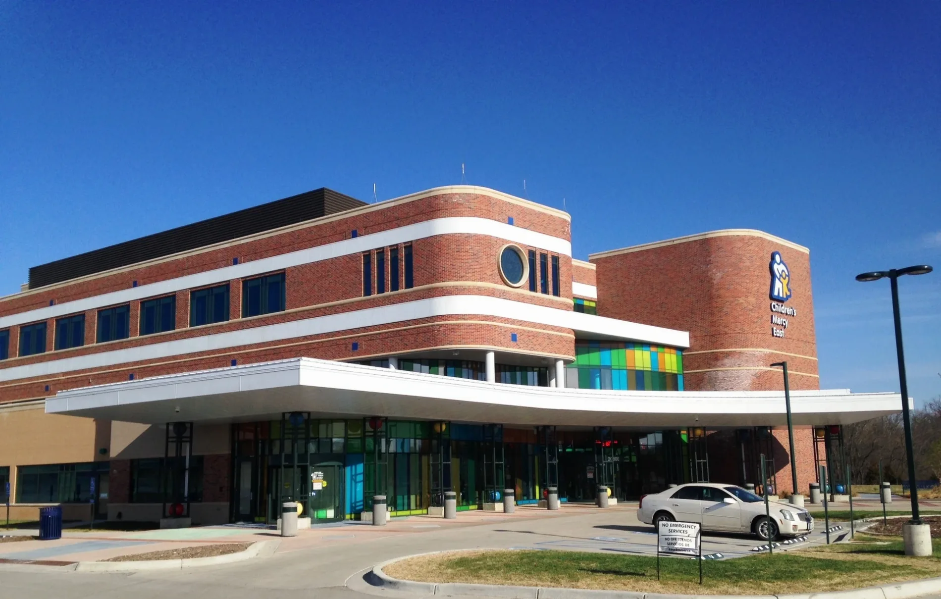
Children's Mercy East0.1 mi
Hotels nearby
Drury Inn & Suites0.2 mi
My Place Hotel0.2 mi
Holiday Inn Express & Suites0.3 mi
Comfort Suites0.4 mi
Places of worship nearby
Independence Christian Center0.2 mi
Residential areas nearby
Trinity Woods0.2 mi
Restaurants nearby
Corner Cafe350 ft
Shawarmar0.2 mi
IHOP0.3 mi
Outback Steakhouse0.3 mi
Carrabba's Italian Grill0.3 mi
Hooters0.4 mi
Rivers nearby
East Fork Little Blue River0.4 mi
 Public transit map Independence Legend
| Railway | |
| Bus | |
| Streetcar |
 Bicycle map Independence Legend
| Bike path | |
| Bike lane on roadway | |
| Cycling allowed on bus lane | |
| Bicycle street | |
| Open to cyclists | |
| Open to cyclists, good path | |
| Cycling prohibited | |
| Cobblestone |
| Long-distance bike route | (depending on scale) | |
| Long-distance bike route |
 Pedestrian map Independence Legend
| Path |
| Long-distance hiking trail | (depending on scale) | |
| Long-distance hiking trail | ||
| Pedestrians prohibited |