
Southeast Eastridge Street in Lee's Summit, Missouri
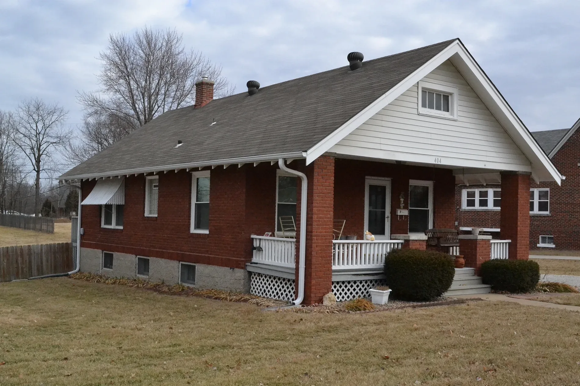
Southeast Eastridge Street in Lee's Summit is an asphalted residential street. It runs in a southeast-northwest direction starting from Northeast Eastridge Street and crosses Southeast 1st Street, Wilson Street and Southeast 2nd Street and ends at Southeast Grand Avenue.
- Road Type
- residential street
- Route
- southeast-northwest
Image
Bars
Copy shops
Banks
Outdoor stores
Stations
Clothing stores
Hair salons
Cafes
Tobacco shops
Beauty salons
Florists
Platforms
Restaurants
Pubs
Ice cream shops
Furniture stores
Bookstores
Tailor shops
Streets nearby
Wilson Street300 ft
Southeast Grand Avenue300 ft
Northeast Eastridge Court500 ft
Cooper Street0.1 mi
Northeast Eastridge Street0.1 mi
Southeast Johnson Street0.1 mi
Northeast Ash Court0.2 mi
Southeast Lee Haven Drive0.2 mi
Southeast 2nd StreetLending Library
0.2 mi
Northeast Johnson Street0.2 mi
Northeast Grand Avenue0.2 mi
Southeast Alley0.2 mi
Northeast Beacon Street0.2 mi
Southeast 3rd StreetBar*istro, Volume Instant Printing, The Cigar Room, Frankie Farelanes, Country Club Bank, Salon Metric, Cameron's Home Furnishings, Summit Sports, Brick's Pub & Grub, All A'Bloom, Lee's Summit Martial Arts, Neighboorhood Cafe, Lewellen's Rub, Metric Baber Shop, McDonald's
0.2 mi
Arlington Circle0.2 mi
Southeast Green Street0.2 mi
Northeast Green Street0.3 mi
Northeast Short Street0.3 mi
Southeast Douglas StreetArcade Alley, Poppy's, The Level Salon
0.3 mi
Southeast 1st Street0.3 mi
Northeast Forest Street0.3 mi
Northeast Douglas StreetBP, La Fuente, QZ Poke Ramen and Boba Tea
0.3 mi
Maple Street0.3 mi
Beacon0.3 mi
Northeast Ash Street0.3 mi
Northeast Elm Street0.3 mi
Northeast Orchard Drive0.3 mi
Vine Street0.3 mi
Northeast Weathervane Street0.4 mi
Northeast Magnolia Street0.4 mi
Northeast Florence Street0.4 mi
Northeast Fernwood Circle0.4 mi
Northeast Howard Street0.4 mi
Northeast Lynn Street0.4 mi
Northeast Green0.5 mi
Northeast Applewood Street0.5 mi
Apartment buildings nearby
Elevate 1140.3 mi
Commercial areas nearby
Lee's Landing Professional Center0.1 mi
Construction sites nearby
Green Street0.2 mi
Convenience stores nearby
Convenience Plus0.2 mi
Fast food restaurants nearby
Abelardo's Mexican Fresh0.2 mi
Fire stations nearby
Lee's Summit Fire Station 10.3 mi
Gas stations nearby
Shell0.2 mi
Places of worship nearby
First Baptist Church of Lee's Summit0.3 mi
Residential areas nearby
Orchard Manor0.4 mi
Heather Hill Farm0.4 mi
School buildings nearby
St. Mary's School0.2 mi
Thrift stores nearby
Red Racks Thrift Store0.3 mi
Town halls nearby
Lee's Summit City Hall0.2 mi
Public transit map Lee's Summit Legend
| Railway | |
| Bus | |
| Streetcar |
Bicycle map Lee's Summit Legend
| Bike path | |
| Bike lane on roadway | |
| Cycling allowed on bus lane | |
| Bicycle street | |
| Open to cyclists | |
| Open to cyclists, good path | |
| Cycling prohibited | |
| Cobblestone |
| Long-distance bike route | (depending on scale) | |
| Long-distance bike route |
Pedestrian map Lee's Summit Legend
| Path |
| Long-distance hiking trail | (depending on scale) | |
| Long-distance hiking trail | ||
| Pedestrians prohibited |