
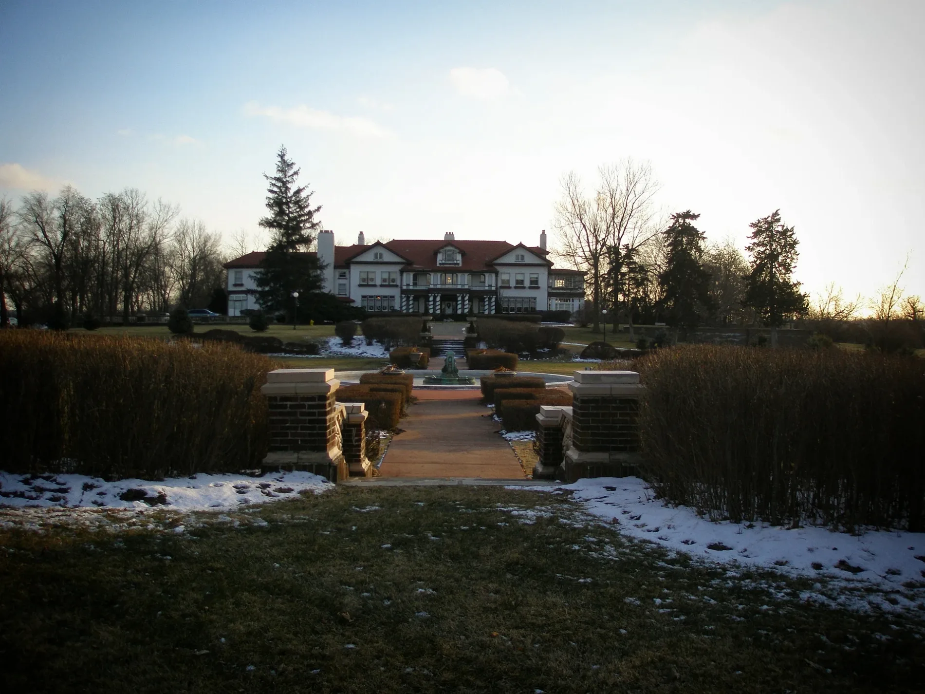
Southwest Arena Street in Lee's Summit, Missouri
Southwest Arena Street in Lee's Summit is a residential street and runs in an east-west direction starting from Longview Lake Park and ends at Southwest Redbuck Circle.
- Road Type
- residential street
- Route
- east-west
Image
Fast food restaurants
Hair salons
Pharmacies
Tourist information centers
Cafes
Beauty salons
Restaurants
Places of worship
Bike shops
Supermarkets
Streets nearby
Southwest Corinthian Lane400 ft
Southwest Redbuck Circle500 ft
Southwest American Royal Way0.1 mi
Longview Lake Park0.1 mi
Southwest Ovation Drive0.1 mi
Southwest Gale Drive0.1 mi
Southwest Loula Drive0.2 mi
Southwest Rockbridge Drive0.2 mi
Southwest Mary Street0.2 mi
Southwest Armie Street0.2 mi
Southwest Pergola Park Drive0.2 mi
Southwest Gardenia Street0.2 mi
Southwest Grandstand Circle0.2 mi
Southwest Merriam Court0.3 mi
Southwest Bennington Place0.3 mi
Southwest Longview RoadLongview
0.3 mi
Southwest Redbuck Drive0.3 mi
Longview Farm HOA Path0.3 mi
Southwest Pergola View0.4 mi
Southwest Haverford Court0.4 mi
Southwest Merriam Drive0.4 mi
Haverford Circle0.4 mi
Southwest Coachlight Court0.4 mi
Southwest 10th Terrace0.4 mi
Southwest Edwards Street0.4 mi
Longview Boulevard0.4 mi
Southwest Kessler Drive0.4 mi
Southwest Tower Park Drive0.4 mi
Southwest Brummel Road0.4 mi
Southwest Haverford Road0.5 mi
Southwest County Park Road0.5 mi
Southwest Longview BlvdLongview Chapel
0.5 mi
Southwest Sensation Drive0.5 mi
Longhorn Road0.5 mi
Southwest Fascination DriveLong-Bell Pizzaria, Gusto Coffee Bistro, Bicycle Shack
0.6 mi
Buildings nearby
Longview Mansion0.2 mi
Dairy Managers House0.3 mi
High Technology0.4 mi
MCC Longview Education and Business0.4 mi
MCC Longview Science and Tech0.4 mi
Facilities0.4 mi
MCC Longview Campus Center0.5 mi
MCC Longview0.5 mi
MCC Longview Liberal Arts0.5 mi
MCC Longview Cultural Arts Center0.5 mi
Residential areas nearby
Kessler Ridge0.4 mi
Shelters nearby
Shelter 60.4 mi
Shelter 50.5 mi
Waters nearby
Old Longview Lake0.3 mi
Public transit map Lee's Summit Legend
| Railway | |
| Bus | |
| Streetcar |
Bicycle map Lee's Summit Legend
| Bike path | |
| Bike lane on roadway | |
| Cycling allowed on bus lane | |
| Bicycle street | |
| Open to cyclists | |
| Open to cyclists, good path | |
| Cycling prohibited | |
| Cobblestone |
| Long-distance bike route | (depending on scale) | |
| Long-distance bike route |
Pedestrian map Lee's Summit Legend
| Path |
| Long-distance hiking trail | (depending on scale) | |
| Long-distance hiking trail | ||
| Pedestrians prohibited |