
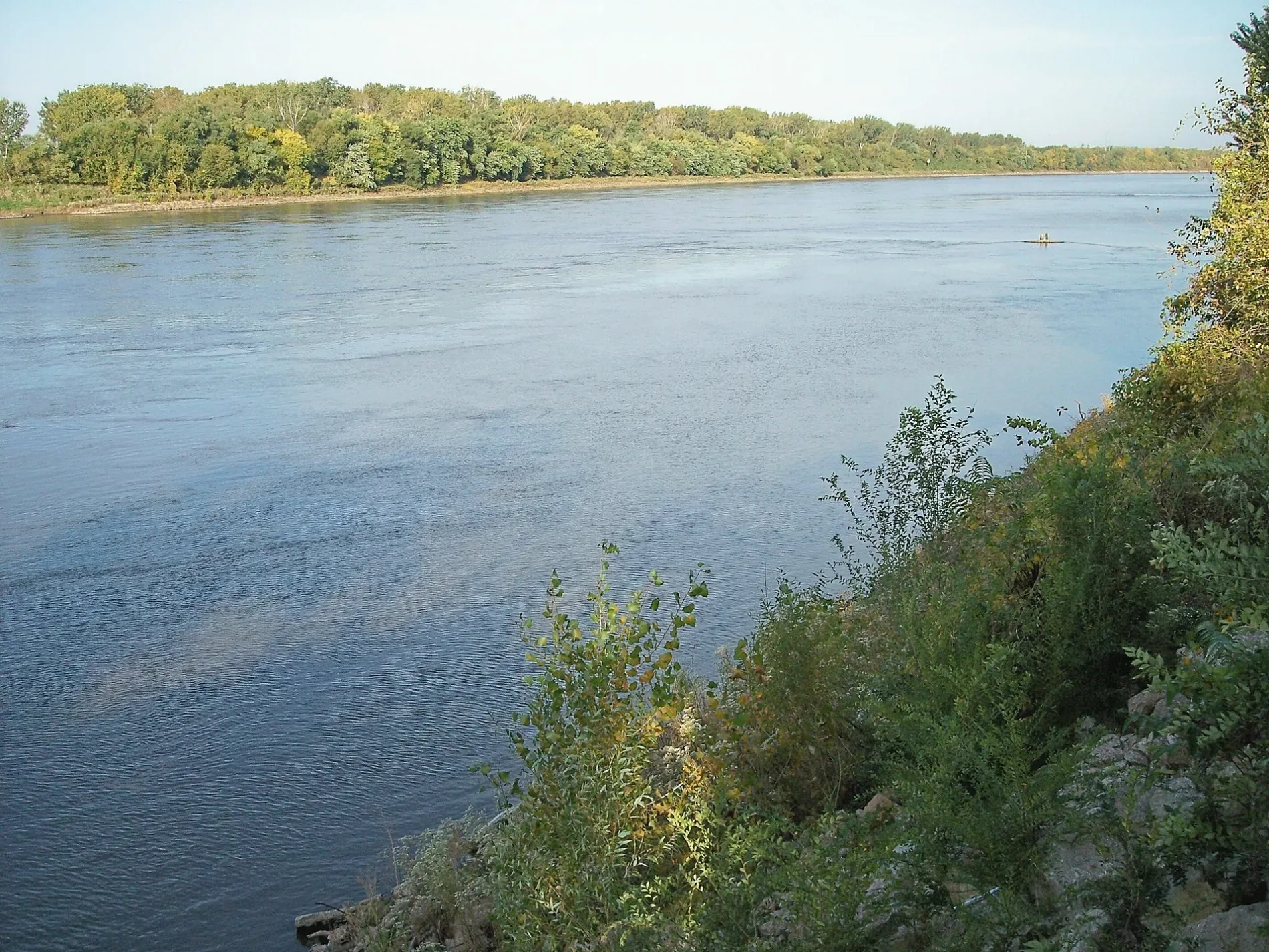
Missouri River in Sugar Creek, Missouri
Missouri River in Sugar Creek is a river. Missouri River is also known as Missouri. Missouri River also exists in Saint Louis County, Buchanan County and Saint Charles County. Ⓦ.
- Waterway Type
- river
Tourist information centers
Schools
Bike shops
Variety stores
Streets nearby
North Old Sugar Creek Courtney Road0.4 mi
Village Drive0.9 mi
Northeast 40th Street0.9 mi
East Courtney Atherton Road1.0 mi
East Union School Road1.1 mi
North Pleasant Avenue1.1 mi
Industrial Drive1.2 mi
Old Highway 2911.2 mi
LaBenite TrailLaBenite Trail Trailhead, LaBenite Trail, Lewis and Clark in Missouri: The Louisiana Purchase, Lewis and Clark in Missouri: The Banks of the MIssouri, Lewis and Clark in Missouri: Hay Cabin Creek
1.2 mi
North Norfleet Road1.3 mi
Northeast 41st Street1.4 mi
North River BoulevardGilpin School
1.4 mi
River Bluff Nature TrailRiver Bluff Nature Trail
1.4 mi
Birmingham Levee RoadEast Voltz, North End Drawbridge
1.4 mi
North Courtney Road1.6 mi
Cement City Road1.7 mi
North Baker Road1.7 mi
North Cobbler RoadRiver Bend
1.8 mi
Northeast Kimball Drive1.8 mi
Northeast 38th StreetLighthouse Chapel Dining Hall
1.9 mi
North Hines Road2.1 mi
Liberty Bend Trail2.2 mi
Munlake Drive2.2 mi
East 18th Street North2.2 mi
East Kentucky Road2.3 mi
Wayne City RoadCement City
2.3 mi
Cole Road2.3 mi
East 21st Street North2.4 mi
Railway nearby
West Voltz2.1 mi
Buildings nearby
Unlimited RV1.6 mi
Birmingham Levee Pump Station2.1 mi
Construction sites nearby
Northland Park Building 71.8 mi
Disc golf courses nearby
LaBenite Park Disc Golf Course0.6 mi
Gas stations nearby
Conoco1.7 mi
Industrial areas nearby
Courtney Bend Water Treatment Plant0.3 mi
Landfills nearby
Courtney Ridge Landfill1.7 mi
Nature reserves nearby
Liberty Bend Conservation Area2.2 mi
River Bluff Nature Reserve2.3 mi
Parks nearby
LaBenite Park1.1 mi
Railway areas nearby
NS Kansas City Intermodal Terminal (Voltz Yard)1.7 mi
East Voltz2.1 mi
Railways nearby
Marceline Subdivision1.2 mi
Streams nearby
Mill Creek1.2 mi
Warehouses nearby
Guitar Center0.9 mi
DHL1.1 mi
FedEx Ground1.3 mi
Northland Park Building 81.3 mi
FedEx Freight1.4 mi
Other nearby
Cement City Substation1.4 mi
| Named after | Missouria |
|---|---|
| Length | 3726 |
| Located in | Montana, North Dakota, South Dakota, Nebraska, Iowa, Missouri, Kansas |
| Country | United States |
| Mouth | Mississippi River |
| Tributary | Little Missouri River, Grand River, Moreau River, Cheyenne River, Bad River, White River, Niobrara River, James River, Vermillion River, Big Sioux River, Platte River, Kansas River, Milk River, Yellowstone River, Osage River, Mosquito Creek, Boyer River, Ponca Creek, Perry Creek, Floyd River, Little Sioux River, Soldier River, Jefferson River, Marias River, Dearborn River, Madison River, Cannonball River, Gallatin River, Roe River, Heart River, Musselshell River, Knife River, Big Muddy Creek, Judith River, Sun River, Chariton River, Arrow Creek, Belt Creek, Blue River, Cow Creek, Crooked River, Cuivre River, Fishing River, Gasconade River, Lamine River, Little Blue River, Little Muddy Creek, Loutre River, Nodaway River, Papillion Creek, Poplar River, Redwater River, Sixteen Mile Creek, Smith River, Tarkio River, Wolf River, Nishnabotna River, Big Dry Creek (Montana), Auxvasse Creek, Big Berger Creek, Perche Creek, Blacksnake Creek, Big Nemaha River, Little Nemaha River, Sacagawea River, Little Chariton River, Sni-A-Bar Creek |
| Native name | Missouri River |
| Described by | Brockhaus and Efron Encyclopedic Dictionary, Small Brockhaus and Efron Encyclopedic Dictionary, Great Soviet Encyclopedia (1926–1947), Encyclopædia Britannica 11th edition, The American Cyclopædia, Collier's New Encyclopedia, 1921, New International Encyclopedia, The New Student's Reference Work, Granat Encyclopedic Dictionary |
Public transit map Sugar Creek Legend
| Railway | |
| Bus | |
| Streetcar |
Bicycle map Sugar Creek Legend
| Bike path | |
| Bike lane on roadway | |
| Cycling allowed on bus lane | |
| Bicycle street | |
| Open to cyclists | |
| Open to cyclists, good path | |
| Cycling prohibited | |
| Cobblestone |
| Long-distance bike route | (depending on scale) | |
| Long-distance bike route |
Pedestrian map Sugar Creek Legend
| Path |
| Long-distance hiking trail | (depending on scale) | |
| Long-distance hiking trail | ||
| Pedestrians prohibited |