
Market Street in Kimmswick, Missouri
Market Street in Kimmswick is a residential street. It runs in an east-west direction starting from 4th Street and crosses 3rd Street, 2nd Street and Front Street. It ends in a cul-de-sac. Nearby there is an ice cream shop.
- Road Type
- residential street
- Route
- east-west
Image
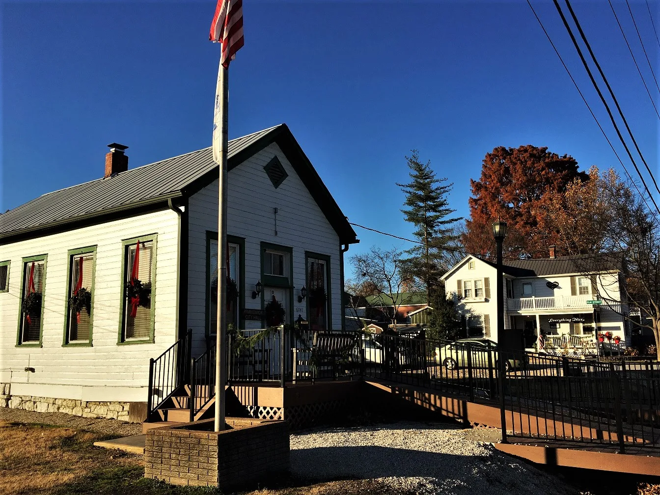
Ice cream shops
Streets nearby
Mill Street300 ft
2nd Street350 ft
3rd Street450 ft
Front StreetKimmswick
450 ft
Mississippi Street500 ft
Elm Street500 ft
Oak Street0.1 mi
Beckett Street0.2 mi
3rd Avenue0.2 mi
4th Street0.2 mi
High Street0.2 mi
5th Street0.2 mi
Broadway0.2 mi
Vine Street0.3 mi
Ziegler Drive0.3 mi
7th Street0.3 mi
Montesanto Park Drive0.3 mi
Windsor Harbor Road0.3 mi
Lawn Street0.3 mi
Hotel Court0.3 mi
John Herrell0.4 mi
Captiva Road0.4 mi
Smokey Row0.4 mi
Amelia0.4 mi
Ridge Place0.4 mi
Montesanto Court0.4 mi
Summit Drive0.4 mi
Grandview DriveWindsor High School
0.4 mi
Waters0.4 mi
Fern0.4 mi
Montebello Road0.4 mi
Waters Road0.4 mi
Windsor Harbor Lane0.4 mi
Timothy Lane0.4 mi
Sylvan Drive0.4 mi
Kilalea0.5 mi
Sunset Drive0.5 mi
Timothy0.5 mi
Cedar Edge Drive0.5 mi
Grandview0.5 mi
Myrtlewood Drive0.5 mi
Cherry Street0.6 mi
Windsor Drive0.6 mi
Cabins nearby
MeeMaw's Cabin0.2 mi
Motorcycle shops nearby
C&S Cycle0.2 mi
Places of worship nearby
Saint Josephs Church0.2 mi
Railways nearby
UP De Soto Subdivision0.1 mi
Restaurants nearby
Blue Owl Restaurant & Bakery250 ft
Rivers nearby
Rock Creek0.5 mi
Public transit map Kimmswick Legend
| Railway | |
| Bus | |
| Streetcar |
Bicycle map Kimmswick Legend
| Bike path | |
| Bike lane on roadway | |
| Cycling allowed on bus lane | |
| Bicycle street | |
| Open to cyclists | |
| Open to cyclists, good path | |
| Cycling prohibited | |
| Cobblestone |
| Long-distance bike route | (depending on scale) | |
| Long-distance bike route |
Pedestrian map Kimmswick Legend
| Path |
| Long-distance hiking trail | (depending on scale) | |
| Long-distance hiking trail | ||
| Pedestrians prohibited |