
East 107th Place in Kansas City, Missouri
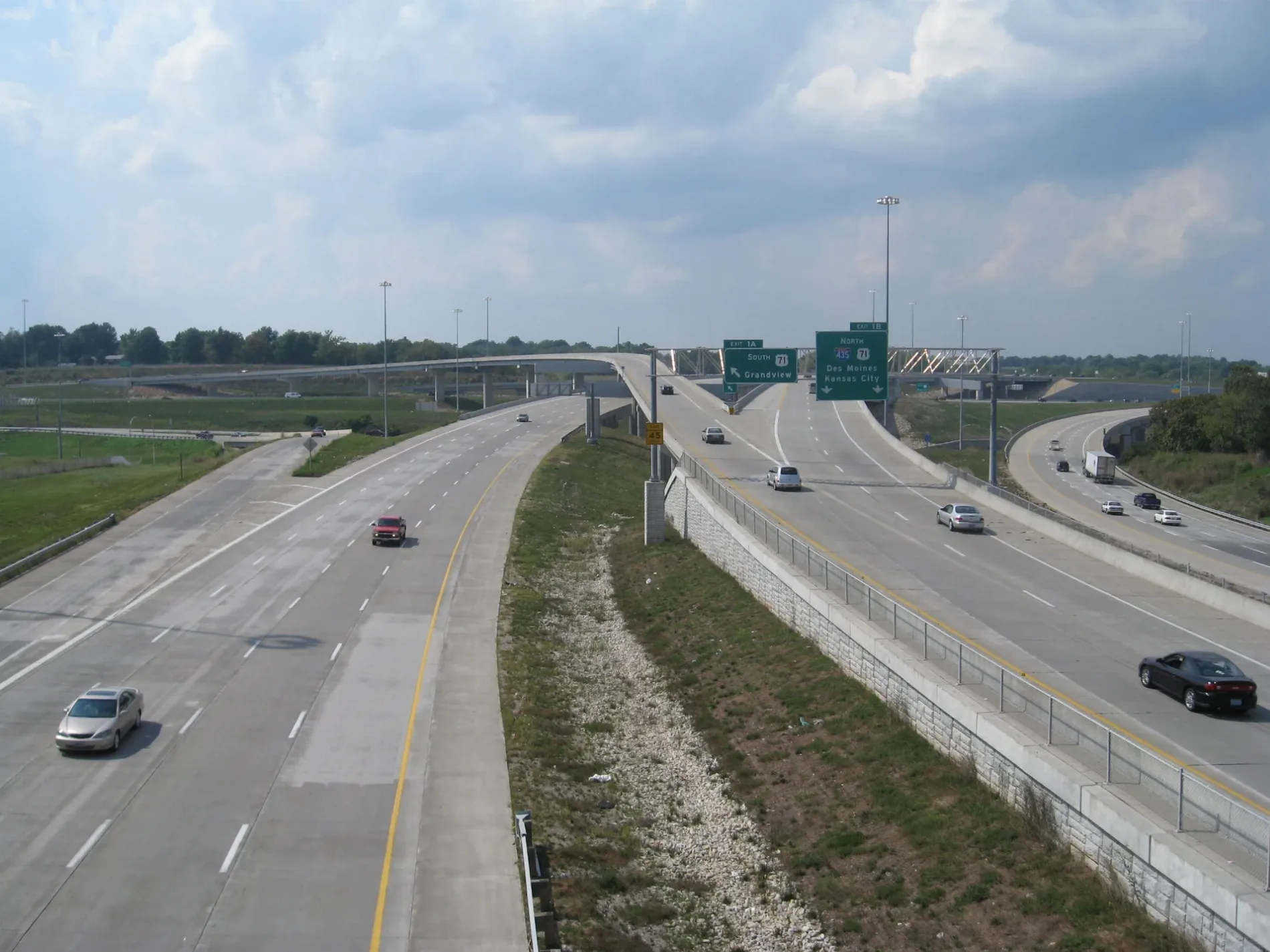
East 107th Place in Kansas City is a local road and runs in an east-west direction starting from Hillcrest Road and crosses Bellaire Avenue and ends at East 107th Street.
- Road Type
- local road
- Route
- east-west
Image
Post offices
Fire stations
Rental services
Places of worship
Schools
Locksmiths
Supermarkets
Streets nearby
East 107th Terrace500 ft
East 107 Terrace0.1 mi
White AvenueTruman at White, Metro by T-Mobile, Gen X Beauty
0.1 mi
Bellaire AvenueFamily Dollar, Rent-A-Center
0.1 mi
Wheeling AvenueWheeling at Park Tower
0.1 mi
Hillcrest Road0.2 mi
East 108th Terrace0.2 mi
Fremont AvenueSheffield, US 40 at Fremont
0.3 mi
Beacon Avenue0.3 mi
East 109th Street0.3 mi
East 109th Terrace0.4 mi
East 108th Street0.4 mi
Sleepy Hollow Drive0.4 mi
Hickman Mills DrivePhillips 66, There Is Hope Fellowship Centre, Dodson, Fast Stop
0.4 mi
East Red Bridge RoadRuskin, KCFD Station 42, Red Bridge Baptist Church, Terrace Lake United Methodist Church
0.4 mi
Fuller Avenue0.4 mi
Newton AvenueCentral Blue Valley
0.5 mi
Moore Avenue0.5 mi
Oakley AvenueSouth Blue Valley
0.5 mi
East Frontage Road0.5 mi
Hickman Heights RoadJeffreys, Faith Bible Church
0.5 mi
Ewing AvenueEwing at 12th, Truman at Ewing
0.5 mi
Ewing Drive0.5 mi
Barrymore Drive0.6 mi
East 103 Street0.6 mi
East 110th StreetSaint Peters United Church of Christ
0.6 mi
Cambridge Avenue0.6 mi
Belmont AvenueTruman at Belmont
0.6 mi
East 102nd Terrace0.6 mi
East 110th Terrace0.6 mi
Bennington AvenueSaint Matthew Baptist Church of Spruce, Taco Express
0.6 mi
East 102nd StreetConcord Fortress of Hope Church
0.7 mi
Drury Avenue0.7 mi
East 102 Street0.7 mi
Blue Ridge BoulevardEast Buffet, Mid Continent Public Library - Blue Ridge, U-Haul, Blue Ridge Assembly of God Church, Peace Lutheran Church, CVS Pharmacy, Christian Life Church, Lucky Locksmith Service KC, Hickman Mills Post Office, U.S. Bank, Restoration International Ministries, Subway, Bank of America
0.7 mi
East 101st Terrace0.8 mi
East 101st Street0.8 mi
Amenities nearby
Cerner Kids0.6 mi
Fast food restaurants nearby
McDonald's0.4 mi
Places of worship nearby
Church of the Nazarene0.3 mi
Hickman Mills Community Christian Church0.4 mi
Railways nearby
CPKC Pittsburg Subdivision0.6 mi
Residential areas nearby
Sleepy Hollow0.4 mi
Stratford Estates0.5 mi
Hickman Orchards0.6 mi
Hickman Heights0.6 mi
Mooreland Heights0.7 mi
Skyline Heights0.8 mi
Streams nearby
Hart Grove Creek0.7 mi
Public transit map Kansas City Legend
| Railway | |
| Bus | |
| Streetcar |
Bicycle map Kansas City Legend
| Bike path | |
| Bike lane on roadway | |
| Cycling allowed on bus lane | |
| Bicycle street | |
| Open to cyclists | |
| Open to cyclists, good path | |
| Cycling prohibited | |
| Cobblestone |
| Long-distance bike route | (depending on scale) | |
| Long-distance bike route |
Pedestrian map Kansas City Legend
| Path |
| Long-distance hiking trail | (depending on scale) | |
| Long-distance hiking trail | ||
| Pedestrians prohibited |