
Charleston, Missouri
Charleston is located in Mississippi County. About 5,056 people live here (as of 2020). Between 2010 and 2020, the population declined from 5,947 to 5,056. The region is at 98 meters above sea level. The area covers about 12.6 square kilometers. There are about 190 streets in Charleston. The region was founded in 1837. The ZIP codes are 63834. The dialing code is 573. Charleston is city in and county seat of Mississippi County, Missouri, United States. Among other things, Charleston has schools. More information at www.charlestonmo.us.
Charleston – Facts
| Population | 5056 |
|---|---|
| Area | 12.6 km² |
| Year built | 1837 |
| Elevation | 98 m |
| Located in | Mississippi County |
| Postal code | 63834 |
| Country | United States |
| Official name | Charleston |
| Described by | New International Encyclopedia |
| Website | http://www.charlestonmo.us |
Data source: Wikidata (CC0)
Photos from Charleston
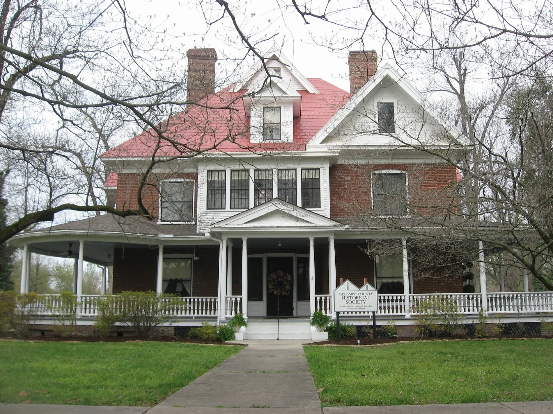
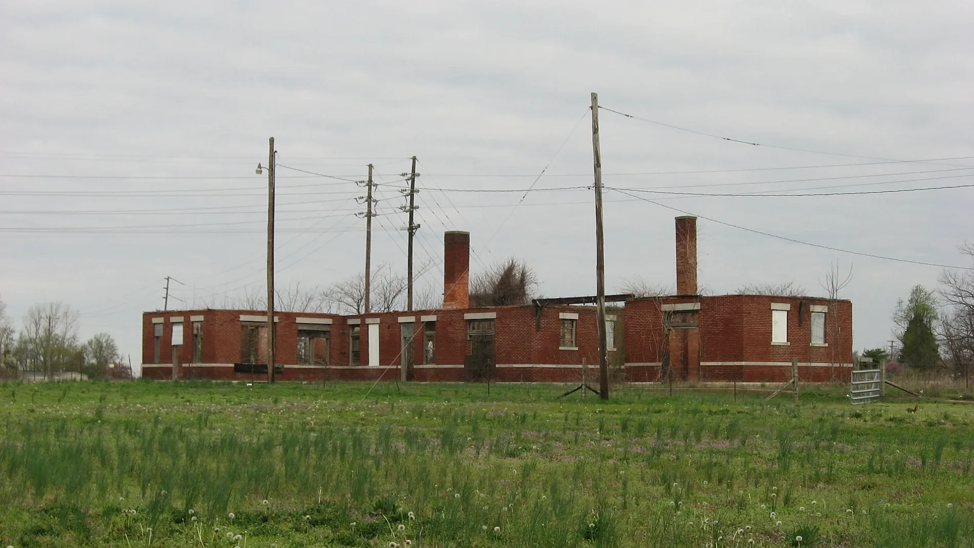
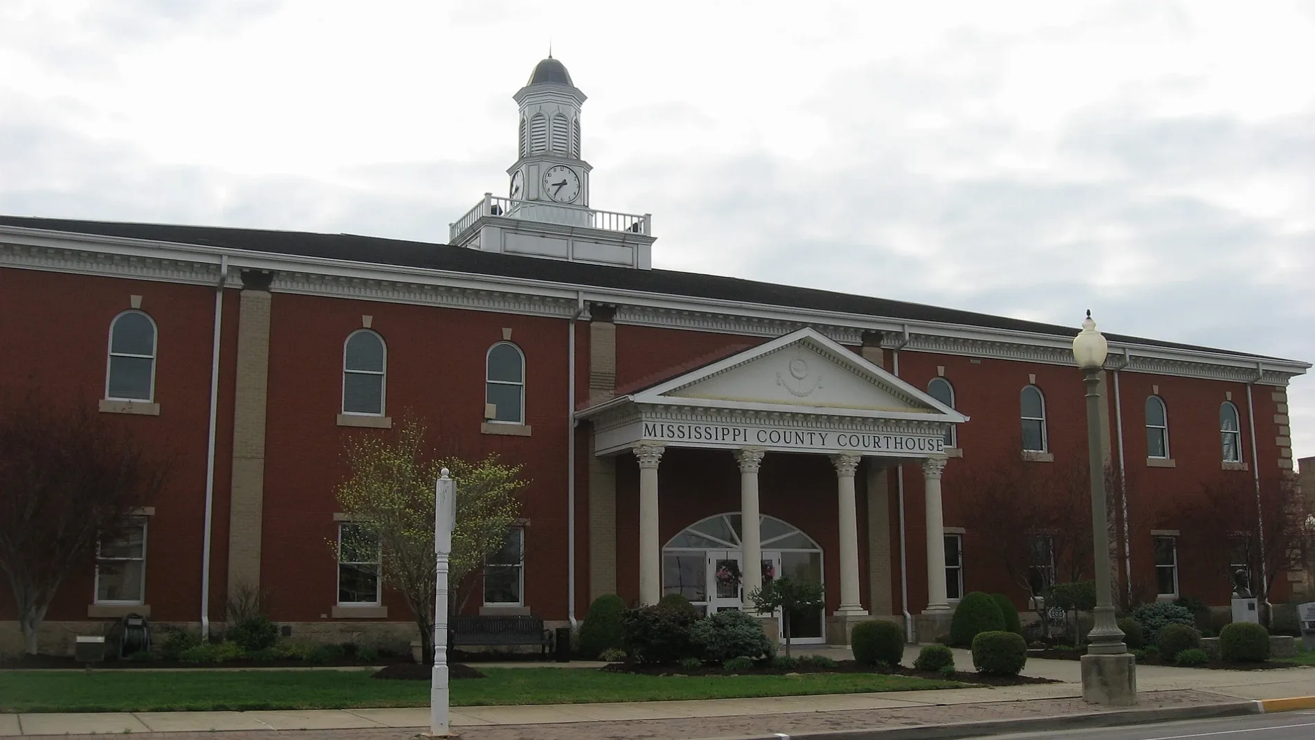
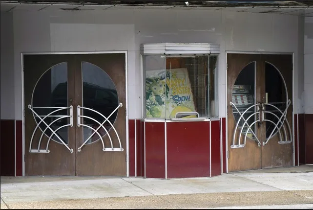
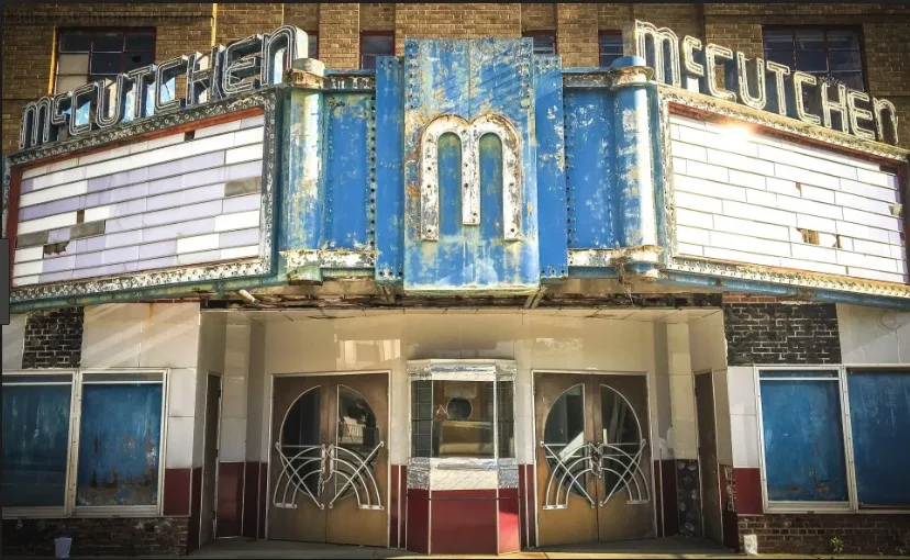
Streets in Charleston, Missouri
Streets
East Marshall Street
West Marshall Street
South Main Street
Charleston
North Main Street
South Thorn Street
North Main Road
East Iron Banks Road
South 7th StreetEugene Field School
Court StreetSaint Henrys School
North Elm StreetMark Twan School
South Elm StreetLincoln School
Plant RoadWarren E Hearnes School
Outer Road
Gates Street
Warren Street
Stark Street
North Franklin Street
Drake Street
Brooklyn Street
North Heggie Street
West Iron Banks Road
Tom White Street
West Market Street
Deal Street
East Missouri Street
Paul Street
East Cypress Street
Monsanto Road
Oliver Street
North 3rd Street
Cleveland Street
Lincoln Street
South Center Street
Hatton Avenue
Hillsdale Avenue
North Smith Street
North Olive Street
Pecan Street
Centenial Street
South Gilmore Street
Depot Street
South 9th Street
North Gilmore Street
West Missouri Street
East Willow Drive
South Green Street
North Clayton Street
South 1st Street
North 1st Street
Goodin Avenue
West Commercial Street
South 8th Street
South Matthews Avenue
North 5th Street
Kingsway Drive
Gail Street
Moore Place
West Byrd Avenue
Naomi Street
West Ada Street
Truman Street
West Tom Brown Street
West Cypress Street
Willard Street
State Street
North 8th Street
East Commercial Street
218 Cty
Industrial Drive
East Drive
Wallhausen Street
Moore Street
14th Street
William Street
Sherman Street
Helena Street
Barrett Drive
Hunter Street
Ann Drive
Virginia Street Public transit map Charleston Legend
| Railway | |
| Bus | |
| Streetcar |
 Bicycle map Charleston Legend
| Bike path | |
| Bike lane on roadway | |
| Cycling allowed on bus lane | |
| Bicycle street | |
| Open to cyclists | |
| Open to cyclists, good path | |
| Cycling prohibited | |
| Cobblestone |
| Long-distance bike route | (depending on scale) | |
| Long-distance bike route |
 Pedestrian map Charleston Legend
| Path |
| Long-distance hiking trail | (depending on scale) | |
| Long-distance hiking trail | ||
| Pedestrians prohibited |