
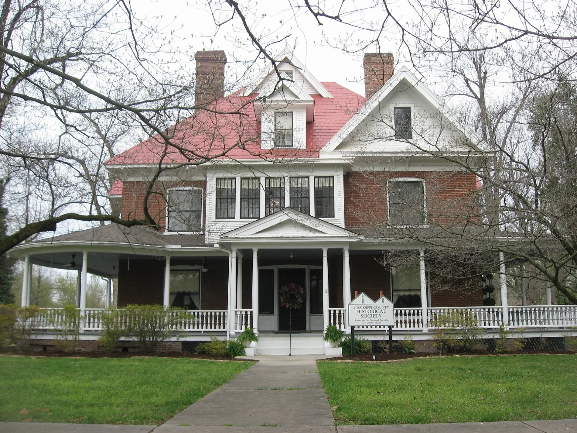
Lafayette Street in Charleston, Missouri
Lafayette Street in Charleston is a residential street. It runs in an east-west direction starting from Morgan Street and crosses North Johnson Street, North Heggie Street, North Elm Street, North Locust Street, North Green Street and Moore Place and ends at North Main Street. Lafayette Street also exists in Franklin County, Buchanan County, Ripley County, Sullivan County and Lewis County.
- Road Type
- residential street
- Route
- east-west
Image
Schools
Streets nearby
North Locust Street250 ft
West Byrd Avenue400 ft
North Elm StreetMark Twan School
450 ft
Cleveland Street0.1 mi
North Green Street0.1 mi
Goodin Avenue0.1 mi
North Heggie Street0.2 mi
Moore Place0.2 mi
North Johnson Street0.2 mi
Elkins Street0.2 mi
West Commercial Street0.2 mi
North Olive Street0.2 mi
North Franklin Street0.2 mi
West Missouri Street0.2 mi
Depot Street0.2 mi
Morgan Street0.3 mi
North Main Street0.3 mi
West Market Street0.3 mi
Fasset Street0.3 mi
East Missouri Street0.3 mi
North 1st Street0.3 mi
South Locust Street0.3 mi
West Cypress Street0.3 mi
Johnson Street0.3 mi
Moore Street0.3 mi
North Main Road0.4 mi
West Marshall Street0.4 mi
South Main StreetCharleston
0.4 mi
South Green Street0.4 mi
North Matthews Avenue0.4 mi
Pecan Street0.4 mi
Court StreetSaint Henrys School
0.4 mi
South Franklin Street0.4 mi
South 1st Street0.4 mi
Adams Street0.4 mi
South Center Street0.4 mi
East Pecan Street0.4 mi
East Market Street0.4 mi
Brooklyn Street0.5 mi
North Finney Street0.5 mi
Hearnes Street0.5 mi
Lon Moore Street0.5 mi
Boone Street0.5 mi
William Street0.5 mi
Warren Street0.6 mi
Wallhausen Street0.6 mi
Lee Street0.6 mi
Vine Street0.6 mi
South Finney Street0.6 mi
Public transit map Charleston Legend
| Railway | |
| Bus | |
| Streetcar |
Bicycle map Charleston Legend
| Bike path | |
| Bike lane on roadway | |
| Cycling allowed on bus lane | |
| Bicycle street | |
| Open to cyclists | |
| Open to cyclists, good path | |
| Cycling prohibited | |
| Cobblestone |
| Long-distance bike route | (depending on scale) | |
| Long-distance bike route |
Pedestrian map Charleston Legend
| Path |
| Long-distance hiking trail | (depending on scale) | |
| Long-distance hiking trail | ||
| Pedestrians prohibited |