
South Virginia Street in Charleston, Missouri
South Virginia Street in Charleston is a residential street. The road consists of two separate carriageways. It runs in a north-south direction starting from North Virginia Street and crosses East Commercial Street and East Cypress Street and ends at East Marshall Street. South Virginia Street also exists in Bertrand.
- Road Type
- residential street
- Route
- north-south
Image
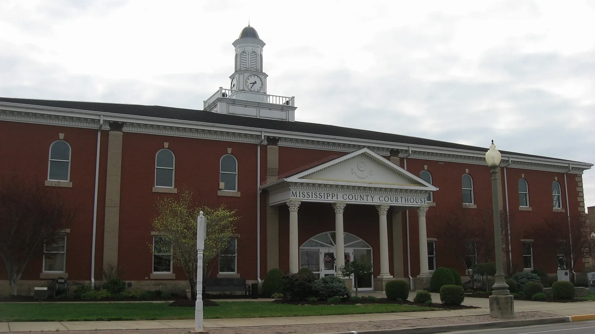
Streets nearby
East Cypress Street450 ft
East Commercial Street500 ft
East Marshall Street0.1 mi
South Matthews Avenue0.1 mi
North 3rd Street0.2 mi
Danforth Street0.2 mi
North Virginia Street0.2 mi
South 5th Street0.2 mi
North 5th Street0.2 mi
East Market Street0.2 mi
North Matthews Avenue0.2 mi
Court Street0.2 mi
Hutsto Alley0.2 mi
South 7th Street0.2 mi
South 1st Street0.2 mi
North 6th Street0.2 mi
South 6th Street0.2 mi
East Pecan Street0.3 mi
2nd Street0.3 mi
South Main StreetCharleston
0.3 mi
Hunter Street0.3 mi
Helena Street0.3 mi
State Street0.3 mi
North 7th Street0.3 mi
North 1st Street0.3 mi
South 8th Street0.3 mi
Pecan Street0.3 mi
South Center Street0.3 mi
East Missouri Street0.3 mi
South 3rd Street0.3 mi
North Main Street0.3 mi
Moore Street0.3 mi
East Mill Street0.3 mi
East Byrd Avenue0.3 mi
Naomi Street0.4 mi
Sherman Street0.4 mi
North 8th Street0.4 mi
Virginia Street0.4 mi
Centenial Street0.4 mi
Bondurant Street0.4 mi
Fire stations nearby
Charleston Department of Public Safety0.3 mi
Hotels nearby
The Russel Hotel0.2 mi
Libraries nearby
Mississippi County Library0.2 mi
Museums nearby
Warren E. Hearns Museum0.3 mi
Places of worship nearby
Charleston First Babtist Church0.3 mi
Post offices nearby
Charleston Post Office0.2 mi
School buildings nearby
Saint Henry's School0.2 mi
Charleston Convent School0.2 mi
University buildings nearby
University of Missouri Extension Office0.3 mi
Public transit map Charleston Legend
| Railway | |
| Bus | |
| Streetcar |
Bicycle map Charleston Legend
| Bike path | |
| Bike lane on roadway | |
| Cycling allowed on bus lane | |
| Bicycle street | |
| Open to cyclists | |
| Open to cyclists, good path | |
| Cycling prohibited | |
| Cobblestone |
| Long-distance bike route | (depending on scale) | |
| Long-distance bike route |
Pedestrian map Charleston Legend
| Path |
| Long-distance hiking trail | (depending on scale) | |
| Long-distance hiking trail | ||
| Pedestrians prohibited |