
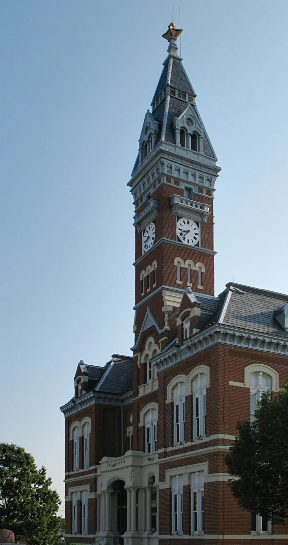
North Main Street in Maryville, Missouri
North Main Street in Maryville is a secondary road (Road number US 71 Business). It runs in a north-south direction and crosses North Dewey Street, East 16th Street, West 16th Street, Foster Avenue, North Buchanan Street, Lawn Avenue, North Avenue, West 11th Street, Park Avenue, West 9th Street, Franklin Street and East 7th Street. This street is part of the highway "71". Nearby you can find among others 3 clothing stores, a pub, a bar and a copy shop. North Main Street also exists in Jackson Township.
- Road Type
- secondary road
- Route
- north-south
Image
Dance schools
Florists
Clothing stores
Restaurants
Streets nearby
West 5th StreetHeritage House Maryville, The Hair Cut Place Maryville MO
350 ft
North Buchanan StreetThe Palms
500 ft
East 6th Street0.1 mi
North Market StreetEnterprise, Shooters, Do it Best, Namaste India Company, Styles N' Smiles Salon
0.1 mi
North Fillmore StreetThe Student Body
0.1 mi
Franklin Street0.2 mi
Franklin Place0.2 mi
North Vine Street0.2 mi
North Dewey Street0.2 mi
Jackson Heights0.2 mi
West 9th Street0.2 mi
East 8th Street0.3 mi
North Prairie Street0.3 mi
North Elm Street0.3 mi
Park Avenue0.3 mi
East 4th StreetBeltone, Hidden Hollow
0.3 mi
East Street0.3 mi
East 5th Street0.3 mi
East 7th Street0.3 mi
Oak Street0.3 mi
Oak Avenue0.4 mi
North Avenue0.4 mi
Lawn Avenue0.4 mi
Apartment buildings nearby
Park Avenue Apartments0.3 mi
Forest Cove Apartments0.4 mi
Parkway Village0.4 mi
Auto repair shops nearby
Walker Body Shop & Towing500 ft
Banks nearby
Bank Midwest0.1 mi
Bars nearby
Powerhouse Bar0.1 mi
Buildings nearby
Shirley's Realty150 ft
SAM450 ft
Black Pony Brewing Company550 ft
North Side Mall0.1 mi
Nodaway County Administration Center0.2 mi
Cafes nearby
Haven Coffee and Goods0.1 mi
Car washes nearby
Uptown Carwash350 ft
Convenience stores nearby
Finish Line200 ft
Fast food restaurants nearby
Subway100 ft
Libraries nearby
Maryville Public Library350 ft
Locksmiths nearby
Maryville Glass and Lock450 ft
Parks nearby
Franklin Park0.1 mi
Places of worship nearby
Maryville Church of Christ0.1 mi
St Paul's Episcopal Chirch0.2 mi
Police stations nearby
Nodaway County Sheriff0.2 mi
Post offices nearby
Maryville Post Office0.1 mi
Restaurants nearby
Happy Garden150 ft
Raku Hibachi Sushi & Ramen200 ft
Town halls nearby
Maryville City Hall0.1 mi
Variety stores nearby
Dollar General0.2 mi
Public transit map Maryville Legend
| Railway | |
| Bus | |
| Streetcar |
Bicycle map Maryville Legend
| Bike path | |
| Bike lane on roadway | |
| Cycling allowed on bus lane | |
| Bicycle street | |
| Open to cyclists | |
| Open to cyclists, good path | |
| Cycling prohibited | |
| Cobblestone |
| Long-distance bike route | (depending on scale) | |
| Long-distance bike route |
Pedestrian map Maryville Legend
| Path |
| Long-distance hiking trail | (depending on scale) | |
| Long-distance hiking trail | ||
| Pedestrians prohibited |