
St. Charles County, Missouri
Saint Charles County is located in Missouri. About 385,590 people live here. Between 2010 and 2020, the population grew from 360,485 to 405,262. The area covers about 1,534.0 square kilometers. The region is divided into 16 Municipalities. The region was founded in 1812. The name originates from Charles Borromeo (Italian Catholic prelate) Saint Charles County is county in Missouri, United States. More information at www.sccmo.org.
Saint Charles County – Facts
| Population | 405262 |
|---|---|
| Area | 1534 km² |
| Subregions | 16 |
| Named after | Charles Borromeo |
| Year built | 1812 |
| Located in | Missouri |
| Country | United States |
| Native name | St. Charles County |
| Website | https://www.sccmo.org/ |
Data source: Wikidata (CC0)
Photos from Saint Charles County
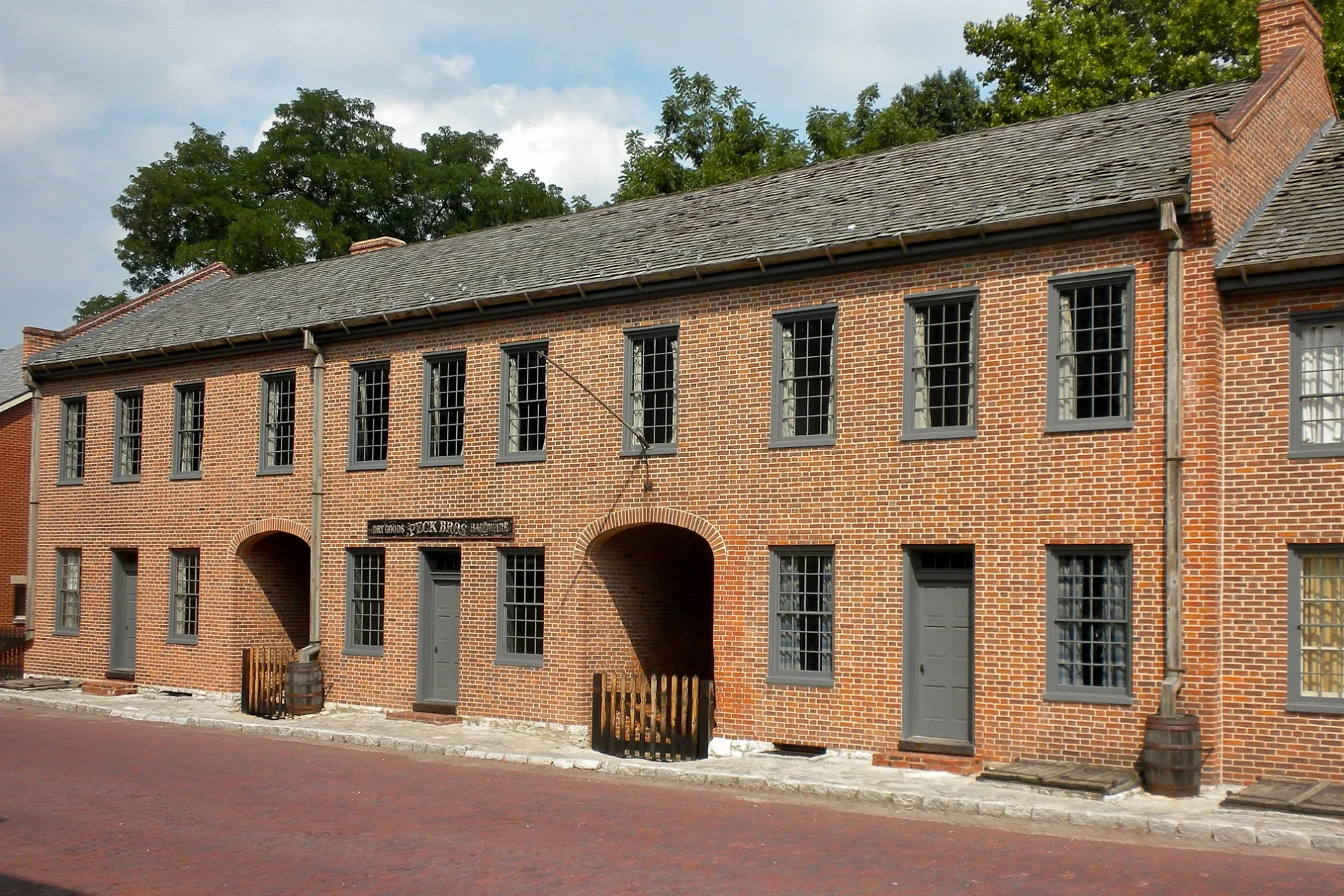
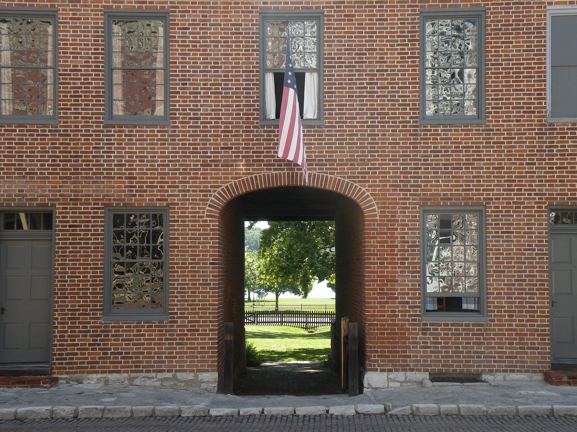
Municipalities in St. Charles County, Missouri
Streets in St. Charles County, Missouri
Streets
Katy Trail
66, 65, Nona, 53, 54, 42, Machens, 29, 22, Katy Trail Completion Bell, 52, Katy Trail Weldon Spring Trailhead, 55, 56, 57, Jacobs, 43, 45, 44, 46, 48, Katy Trail Matson Trailhead, A Defiant Tail, KT Defiance, 59, 58, 64, 63, 41, 37, 33, 35, 34, 32, Katy Trail Black Walnut Trailhead, 30
Woods Creek1, 2, 3, 14, 15, 16, 17, 18
Saint Andrews PlazaAlien Armory Tactical, St. Andrews Coin Laundry, Save-A-Lot, Amazon Locker - Bihor, Woodson Stonefire
Golden Eagle Ferry RoadGolden Eagle Ferry (South Dock), Golden Eagle Ferry (South Dock 2)
Hamburg TrailWeldon Spring Quarry, Hamburg, Hamburg Trail trailhead, Hamburg Trail
Darst Bottom RoadDon's Place, School Days in Defiance, Recreation Naturally
Church RoadAugusta Elementary School, Saint Pauls Catholic Church, Trinity Church
Fairways CircleSmoothie King, Kumon, Cary O'Brien's Design & Color Spa
South Old Hwy 94QuikTrip, Old Highway 94 and Sherman Drive, Highway 94 and Zumbehl Road
West Terra LaneMcDonald's, Petro-Mart
Missouri AvenueGood News Brewing Company, Grapevine Wine Bristow/Visitor Center
Missouri Research Park TrailWeldon Springs Ca & Wetlands, Bush Greenway
Kisker RoadKisker Road Library
Dwiggins RoadWest U.E.
Wright DriveMotoMart
Portage RoadWunsch School
Defiance RoadWente's Defiance Roadhouse
Old Monroe RoadCuivre Junction
Blase Station RoadBlase, Phelps School
Nottingham RoadNew Melle Fire Protection District Station 3
Dingledine RoadCastlio Elementary School
Black Walnut RoadMarais Croche, Black Walnut, Walnut Grove School
Huster RoadKampville School
Neal LaneAugusta Community Volunteer Fire Department Station 2
Old Setter RoadStar Prairie School
Equine CourtEquestrain
Jason CourtAll Solutions Pest Control
Orf RoadWentzville Fire Protection District Station 4
Rees RoadBarweis Cemetery
Becker Joerling RoadCappeln School
Matson Hill RoadMatson Hill Park trailhead
PowerlineKlondike, Klondike Park
Golf RidgeHappy Glen School
Jacobs Station RoadSte. Philippine Cimetiere
Laura Hill RoadO'Fallon Fire Protection District Station 3
Oak DriveWeldon Spring Church
Dalbow RoadFirma, Maple School
Campus DriveWest Clay Street and Campus Drive
Central School RoadHowell, Walgreens
Wiedey RoadCul de Sac School, Cul de Sac
Clover Valley LaneCottleville Fire Protection District Station 4
South Old Highway 94KFC
Saint Paul RoadSaint Paul, Saint Paul City Hall
Dietrich RoadGrothe School
South Point Prairie RoadPoint Prairie School
Old Colony RoadBacon School
Woodstone DriveZion School
Ipswich Lane
Wentzville Parkway
Woolwick Court
Lexington Landing Court
Hill Side Court
Parapet Drive
Oak Circle
Kingsbury Court
Forest Wood Lane
Stone Ridge Lane
Scattered Oak Court
Northwood Drive
Howell Island Conservation Area Causeway
Paddlewheel Court
Lower Hollow Lane
Fordyce Manor
Steed Court
Taylor Avenue
Shady Oak Drive
Woodmere Crossing Drive
Port Talbot Court
Mark Korte Lane
Legacy Estates Lane
Sharon Drive
Belleau Lake Drive
Old Boschertown RoadBoschertown
Silver Drive
Summer Ridge Court
Sandy LinkBuildings
Movie theaters
Public transit map Saint Charles County Legend
| Railway | |
| Bus | |
| Streetcar |
Bicycle map Saint Charles County Legend
| Bike path | |
| Bike lane on roadway | |
| Cycling allowed on bus lane | |
| Bicycle street | |
| Open to cyclists | |
| Open to cyclists, good path | |
| Cycling prohibited | |
| Cobblestone |
| Long-distance bike route | (depending on scale) | |
| Long-distance bike route |
Pedestrian map Saint Charles County Legend
| Path |
| Long-distance hiking trail | (depending on scale) | |
| Long-distance hiking trail | ||
| Pedestrians prohibited |