
Desloge, Missouri
Desloge is located in Saint Francois County. About 4,823 people live here (as of 2020). Between 2010 and 2020, the population declined from 5,054 to 4,823. The region is at 246 meters above sea level. The area covers about 7.5 square kilometers. There are about 204 streets in Desloge. The region was founded in 1941. The dialing code is 573. Desloge is city in St. Francois County, Missouri, United States. Among other things, Desloge has cafés, schools, banks and hair Salons. More information at www.desloge.com.
Desloge – Facts
| Population | 4823 |
|---|---|
| Area | 7.5 km² |
| Year built | 1941 |
| Elevation | 246 m |
| Located in | St. Francois County |
| Country | United States |
| Official name | Desloge |
| Website | http://www.desloge.com/ |
Data source: Wikidata (CC0)
Photos from Desloge
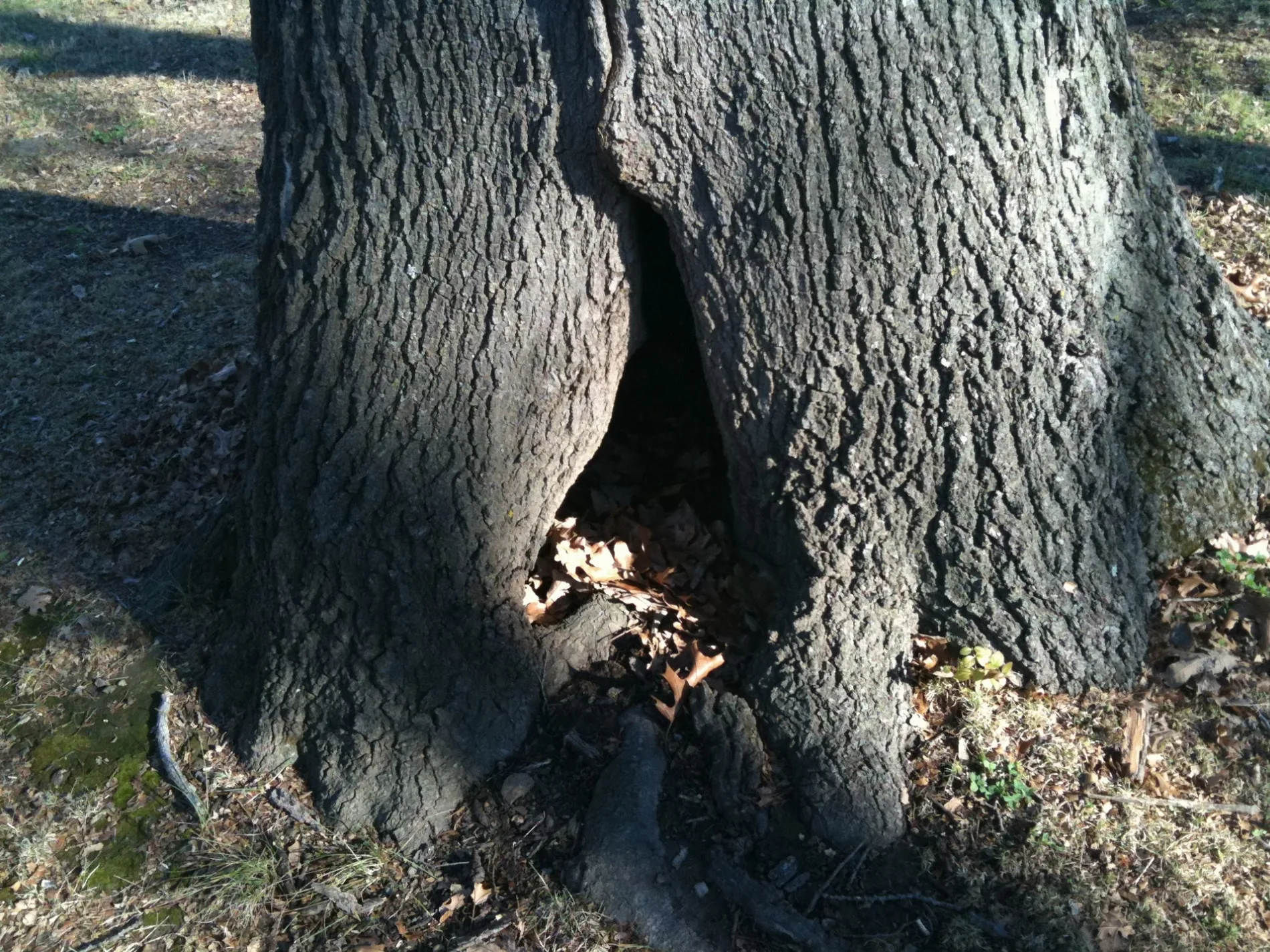
Streets in Desloge, Missouri
Streets
East Drive
East Evergreen
East Ash Street
West Olive Street
West Ash Street
North School Street
East Elm Street
Locust Street
Brim Street
South Cowling Avenue
Lacy Court
East Chestnut Street
Cantwell, Last Stop Smoke Shop
East Sycamore Street
Bradley Court
Abby Lane
Redbud Court
West Drive
Dunn Road
North Roosevelt Street
East Orchard Street
South Lincoln Street
North Waller Street
North Cowling Avenue
South School Street
Larry Street
South Harding Street
South Grant Street
South State Street
Hazel Street
Randy Street
Chestnut StreetDesloge
Timberlawn Street
North Grant Street
Honey Suckle Lane
North State Street
Bluffview Drive
North Harding Street
Briarwood Street
North Desloge DriveLittle Caesars, ColJac Artisan Cafe
Alley
Fir Street
East Evergreen Street
Monroe Street
Ivy Street
Jacob Trail
Poplar Street
West Cedar Street
Bush LaneImo's Pizza, Jack in the Box
Highley LaneGreat Clips, FlexiCash, Dollar General
South Waller Street
North White Oak Street
North Parkside Street
Staci Street
Riverwoods Drive
Vo-Tech School Road
South Cantwell Lane
Judy Street
West Chestnut Street
Magnolia DriveHighley Heights
West Sycamore Street
Riverwalk
Royal Road
North Carter Street
Rosebud Street
Cherry Street
South Kirby Avenue
South White Oak Street
North Vandervoot Street
Spencer Road
North Wilson Street
Jackson Street
North Tyler Street
Ashton Drive
South Desloge Drive
Brightwell Boulevard
Drew Lane
Hawthorne Street
North Cantwell Lane
Willow Street
East Johnson
East Sycamore
Dogwood Court
North Ravencrest Street
South Truman Street
Riverview Court
West Evergreen
Blair Street
Marty Drive
East Olive Street
Fairview Lane
Janice Street
State StreetDirt Cheap, TitleMax, Unico Bank, Cricket Wireless, Verizon, Rent-A-Center
Helen Street
McKee Street
Chadrick Drive
Embry Drive
South Wilson Street
East Ridge Road
South Roosevelt Street
Birch Street
Cedar Street
East Walnut Street
South Country Lane
Trailwood Street
Plantation Drive
South Harry Junior Street
South Ravencrest Street
North Trailwood Street
North Country Lane
South Vandervoot Street
East South Street
Donna Drive
North Lincoln Street
South Madison Street
Laplante Drive
Estes Street
Andrew Street
Roy Street
East Oak Street
Eagle Street
East Cedar Street
Gum Street
North Madison Street
West Oak Street
North Harry Junior Street
Meadowbrook Court
North Washington Avenue
Elm Street
Chace Drive
South Parkside Street
Allison Lane
Ariel Court
Murray
C J Court
Emby
Highley Court
Jennifer Court
John Court
Marie Court
Meadow Lane
Meadow Street
Eugene Drive
Stonecrest Drive
Pride Drive
Ridgeview Drive
Riverstone Court
West Walnut Street
Eagles Landing
Eastern Outer Road
Cedar Falls RoadAuto parts stores
Banks
Community centers
Fast food restaurants
Fire stations
Ice cream shops
Libraries
Parks
Places of worship
Playgrounds
Railways
Restaurants
Supermarkets
Swimming pools
Tire dealers
Town halls
 Public transit map Desloge Legend
| Railway | |
| Bus | |
| Streetcar |
 Bicycle map Desloge Legend
| Bike path | |
| Bike lane on roadway | |
| Cycling allowed on bus lane | |
| Bicycle street | |
| Open to cyclists | |
| Open to cyclists, good path | |
| Cycling prohibited | |
| Cobblestone |
| Long-distance bike route | (depending on scale) | |
| Long-distance bike route |
 Pedestrian map Desloge Legend
| Path |
| Long-distance hiking trail | (depending on scale) | |
| Long-distance hiking trail | ||
| Pedestrians prohibited |