
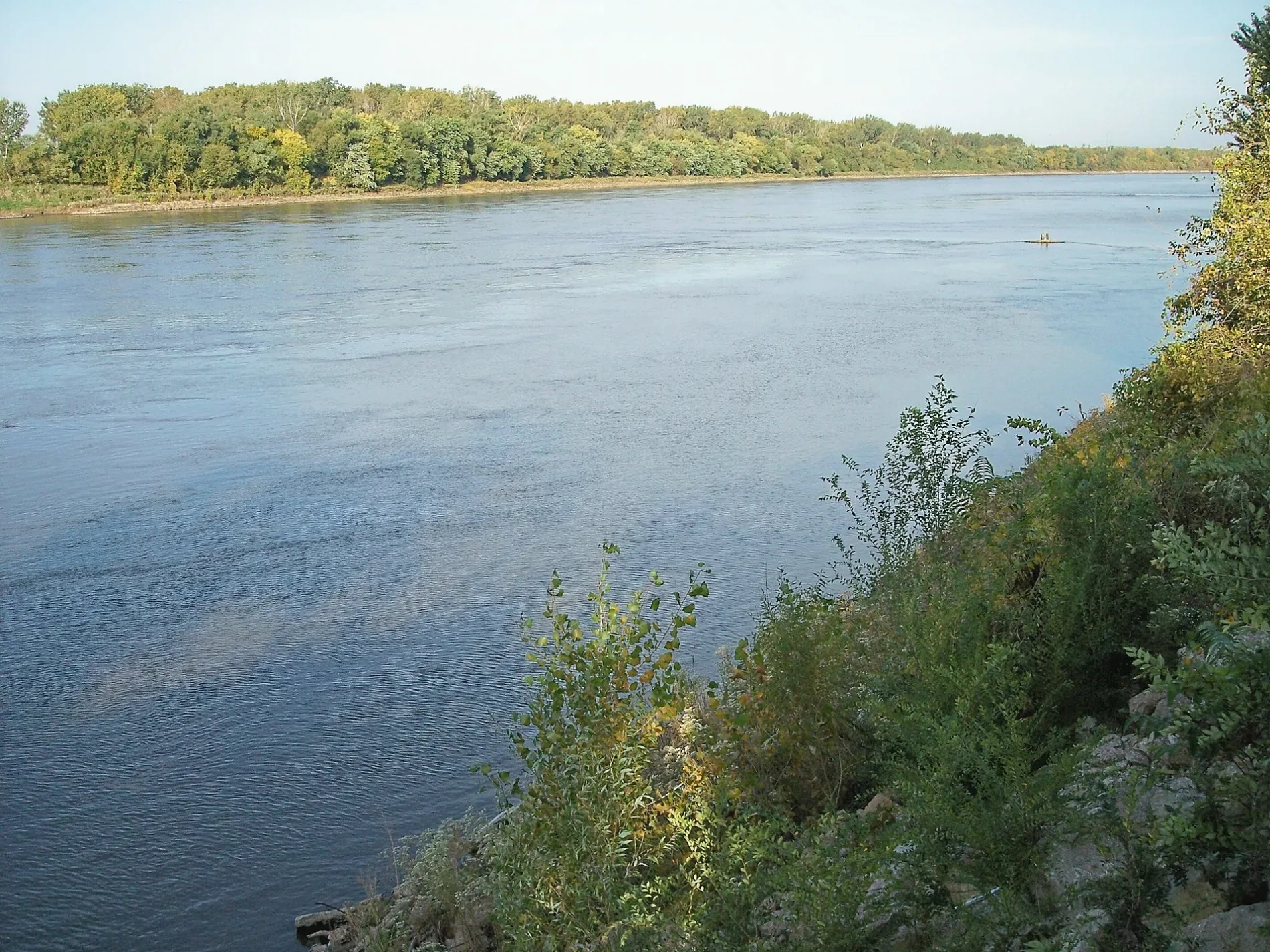
Missouri River in Maryland Heights, Missouri
Missouri River in Maryland Heights is a river. Missouri River is also known as Missouri. Missouri River also exists in Bridgeton, Florissant and Hazelwood. Ⓦ.
- Waterway Type
- river
Bus stops
Restaurants
Hunting stands
Variety stores
Post offices
Opticians
Coffee shops
Beauty salons
Theaters
Shelters
Fire stations
Clinics
Fast food restaurants
ATMs
Pharmacies
Streets nearby
Slough Loop0.4 mi
Sandy Link0.4 mi
South Mokane Court0.6 mi
North Mokane Court0.6 mi
Katy Trail42, 66, 65, Nona, 53, 54, Machens, 29, 22, Katy Trail Completion Bell, 52, Katy Trail Weldon Spring Trailhead, 55, 56, 57, Jacobs, 43, 45, 44, 46, 48, Katy Trail Matson Trailhead, A Defiant Tail, KT Defiance, 59, 58, Tent Camping, Beyond the Trail RV Park, Cabin 1, Cabin 2, 64, 63, 41, 37, 33, 35, 34, 32, Katy Trail Black Walnut Trailhead, 30
0.6 mi
Pilot Grove Court0.6 mi
South Rio Grande Court0.6 mi
Arena Parkway0.6 mi
North Rio Grande Court0.6 mi
Rio Vista Drive0.6 mi
Friedens Road0.7 mi
Riverine Drive0.7 mi
Canyon Oak Court0.7 mi
Orchard Lane0.7 mi
River Link0.7 mi
San Carlos Drive0.7 mi
San Camille Drive0.8 mi
Montclair Tower Drive0.8 mi
Rio Grande Drive0.8 mi
Northeast Vivaron Avenue0.8 mi
Sturbridge Drive0.8 mi
Willow Oak Drive0.8 mi
San Camille Court0.8 mi
South River Road0.8 mi
Burn Oak Drive0.9 mi
Chestnut Oak Drive0.9 mi
Turners Oak Drive0.9 mi
San Juan Drive0.9 mi
Water Oak Court0.9 mi
Basket Oak Drive0.9 mi
South Main StreetMOss Boutique, Provenance Soapworks, Siostra Polish Pottery, Saint Charles Coffee & Creperie, Missouri Artists On Main, Main Street Books, The Wine Cafe, Happy Camper clothing, Main Street and Ameristar Boulevard, Tuner's, Lewis & Clark Restaurant
0.9 mi
Cork Oak Court0.9 mi
Kurtz Loop0.9 mi
Old South River Road0.9 mi
Camelback Road0.9 mi
South Fifth StreetStarbucks, Walgreens
1.0 mi
Cascades Drive1.0 mi
Beale StreetPrasino, First Watch, Sauce on the Side
1.0 mi
Nichols RoadDewey's Pizza
1.0 mi
Lombard StreetTesla Supercharger
1.0 mi
Commercial areas nearby
Hollywood Casino & Hotel - Saint Louis0.6 mi
Covered areas nearby
Fuel Pumps1.0 mi
Fire stations nearby
Saint Charles Fire Department Station 20.9 mi
Hotels nearby
Tru by Hilton St. Charles St. Louis0.9 mi
Movie theaters nearby
AMC Streets Of St Charles 80.9 mi
Parks nearby
Bangert Island0.6 mi
Retail areas nearby
Streets of St. Charles0.9 mi
Retail buildings nearby
Chicken N Pickle - Saint Charles0.9 mi
Rivers nearby
Creve Coeur Creek0.4 mi
| Named after | Missouria |
|---|---|
| Length | 3726 |
| Located in | Montana, North Dakota, South Dakota, Nebraska, Iowa, Missouri, Kansas |
| Country | United States |
| Mouth | Mississippi River |
| Tributary | Little Missouri River, Grand River, Moreau River, Cheyenne River, Bad River, White River, Niobrara River, James River, Vermillion River, Big Sioux River, Platte River, Kansas River, Milk River, Yellowstone River, Osage River, Mosquito Creek, Boyer River, Ponca Creek, Perry Creek, Floyd River, Little Sioux River, Soldier River, Jefferson River, Marias River, Dearborn River, Madison River, Cannonball River, Gallatin River, Roe River, Heart River, Musselshell River, Knife River, Big Muddy Creek, Judith River, Sun River, Chariton River, Arrow Creek, Belt Creek, Blue River, Cow Creek, Crooked River, Cuivre River, Fishing River, Gasconade River, Lamine River, Little Blue River, Little Muddy Creek, Loutre River, Nodaway River, Papillion Creek, Poplar River, Redwater River, Sixteen Mile Creek, Smith River, Tarkio River, Wolf River, Nishnabotna River, Big Dry Creek (Montana), Auxvasse Creek, Big Berger Creek, Perche Creek, Blacksnake Creek, Big Nemaha River, Little Nemaha River, Sacagawea River, Little Chariton River, Sni-A-Bar Creek |
| Native name | Missouri River |
| Described by | Brockhaus and Efron Encyclopedic Dictionary, Small Brockhaus and Efron Encyclopedic Dictionary, Great Soviet Encyclopedia (1926–1947), Encyclopædia Britannica 11th edition, The American Cyclopædia, Collier's New Encyclopedia, 1921, New International Encyclopedia, The New Student's Reference Work, Granat Encyclopedic Dictionary |
Public transit map Maryland Heights Legend
| Railway | |
| Bus | |
| Streetcar |
Bicycle map Maryland Heights Legend
| Bike path | |
| Bike lane on roadway | |
| Cycling allowed on bus lane | |
| Bicycle street | |
| Open to cyclists | |
| Open to cyclists, good path | |
| Cycling prohibited | |
| Cobblestone |
| Long-distance bike route | (depending on scale) | |
| Long-distance bike route |
Pedestrian map Maryland Heights Legend
| Path |
| Long-distance hiking trail | (depending on scale) | |
| Long-distance hiking trail | ||
| Pedestrians prohibited |