
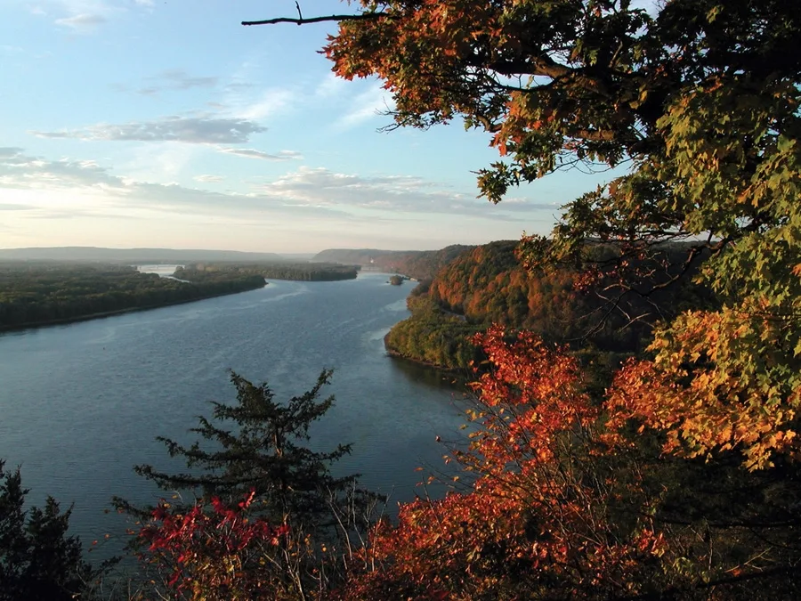
Mississippi River in Kosciusko, Missouri
Mississippi River in Saint Louis, Kosciusko is a river. Mississippi River is also known as The Mississippi. Mississippi River also exists in Carondelet, Mount Pleasant, Marine Villa, Riverview and North Riverfront. Ⓦ.
- Waterway Type
- river
Bus stops
Recycling stations
Bars
Streets nearby
Coast Guard Pier Access0.3 mi
Arsenal Street0.3 mi
Cherokee StreetRiverside Antiques, Bella Antiques, Panorama Folk Art, The mud house, Whisk bakery, Light Pole, Zephyr Salon and Bar, Murphy's Mutts, Retro 101, Salon and Gallery, Clippers and Sheers, Zubi Beauty Supplies, Elaine's, Flowers to the People, Saxquest, Boheme, Ruby Francis, Tracy's Treasures, South City Art Supply, Lady Jane's Antiques, DeMay Ltd. Antiques, Rockin Redhead Salon, The Purple Cow, Z Wireless, Saturn Lounge, Swade Dispensary, Cheshire Grin Cat Cafe
0.5 mi
Zepp Street0.5 mi
Potomac StreetJefferson at Potomac
0.5 mi
South 2nd Street0.6 mi
Utah Street0.6 mi
Cave Street0.6 mi
South BroadwayBroadway at Utah, Broadway at Wyoming, Broadway at Dorcas, Broadway at Arsenal
0.6 mi
Wyoming Street0.6 mi
Dekalb Street0.6 mi
Kosciusko Street0.6 mi
South 7th Street7th Street at Lafayette, 7th Street at Geyer, 7th Street at Russell, 7th Street at Shenandoah, 7th Street at Sidney
0.6 mi
President StreetSister Cities Cajun
0.7 mi
Hog Haven RoadMississippi at Judith
0.7 mi
Busch Place0.7 mi
South 9th Street0.7 mi
Cargill Elevator Road0.7 mi
Buildings nearby
U.S. Coast Guard0.2 mi
USACE0.3 mi
Buidling 360.3 mi
Building 180.4 mi
Building 370.4 mi
Building 200.4 mi
Building 120.4 mi
Building 40.4 mi
Building 50.4 mi
Building 220.4 mi
Building 20.5 mi
Building 70.5 mi
Building 250.5 mi
Building 10.5 mi
Building 390.5 mi
Building 270.5 mi
Anheuser-Busch Employees Association0.6 mi
Bevo Building0.7 mi
Chatillon-DeMenil House0.7 mi
Garages nearby
Army Corps of Engineers0.3 mi
Grasslands nearby
Parade Ground0.4 mi
Hotels nearby
Lemp Mansion0.7 mi
Industrial areas nearby
Buoy Yard0.2 mi
Industrial buildings nearby
MilliporeSigma0.6 mi
Military areas nearby
Coast Guard Pier0.3 mi
St. Louis District Service Base0.3 mi
Engineer's Depot Pier0.3 mi
St. Louis Air Force Station0.5 mi
Parks nearby
Lyon Park0.6 mi
Rivers nearby
Mississippi River0.9 mi
Service buildings nearby
Louisa Pumping Station0.6 mi
Warehouses nearby
Anheuser-Busch Warehouse0.5 mi
| Length | 3766 |
|---|---|
| Located in | United States |
| Country | United States |
| Source | Lake Itasca |
| Mouth | Gulf of Mexico |
| Tributary | Black River, Arkansas River, Ohio River, Saint Croix River, Wisconsin River, Rock River, Illinois River, Kaskaskia River, Minnesota River, Des Moines River, White River, Apple River, Big Muddy River, St. Francis River, Yazoo River, Big Black River, Maquoketa River, Wolf River, Rice Creek, Iowa River, Turkey River, Loosahatchie River, Meramec River, Wapsipinicon River, Chippewa River, River des Peres, Bayou Pierre, Catfish Creek, Crow River, Duck Creek, Hatchie River, Henderson Creek, Little Maquoketa River, Marys River, Obion River, Prairie River, Rum River, Rush River, Salt River, Schoolcraft River, Skunk River, Swan River, Trempealeau River, Turtle River, Upper Iowa River, Vermillion River, Wind River, Yellow River, Village Creek, Brazeau Creek, Cinque Hommes Creek, Nokasippi River, Apple Creek, Coles Creek, River aux Vases, Minnehaha Creek, Fox River, Bassett Creek, Sucker Creek, Missouri River |
| Native name | Mississippi River |
| Described by | Sytin Military Encyclopedia, Small Brockhaus and Efron Encyclopedic Dictionary, Brockhaus and Efron Encyclopedic Dictionary, Jewish Encyclopedia of Brockhaus and Efron, The Nuttall Encyclopædia, Great Soviet Encyclopedia (1926–1947), The Encyclopedia Americana, The American Cyclopædia, Encyclopædia Britannica 11th edition, Collier's New Encyclopedia, 1921, The New Student's Reference Work, New International Encyclopedia, Meyer’s Universum, Fünfzehnter Band, Meyer’s Universum, Siebzehnter Band, Meyer’s Universum, Achtzehnter Band, Granat Encyclopedic Dictionary |
Public transit map Kosciusko Legend
| Railway | |
| Bus | |
| Streetcar |
Bicycle map Kosciusko Legend
| Bike path | |
| Bike lane on roadway | |
| Cycling allowed on bus lane | |
| Bicycle street | |
| Open to cyclists | |
| Open to cyclists, good path | |
| Cycling prohibited | |
| Cobblestone |
| Long-distance bike route | (depending on scale) | |
| Long-distance bike route |
Pedestrian map Kosciusko Legend
| Path |
| Long-distance hiking trail | (depending on scale) | |
| Long-distance hiking trail | ||
| Pedestrians prohibited |