
North Benton Street in Cape Girardeau, Missouri
North Benton Street in Cape Girardeau is a residential street. It runs in a north-south direction starting from Themis Street and crosses Independence Street and ends at South Benton Street. North Benton Street also exists in New Madrid County.
- Road Type
- residential street
- Route
- north-south
Image
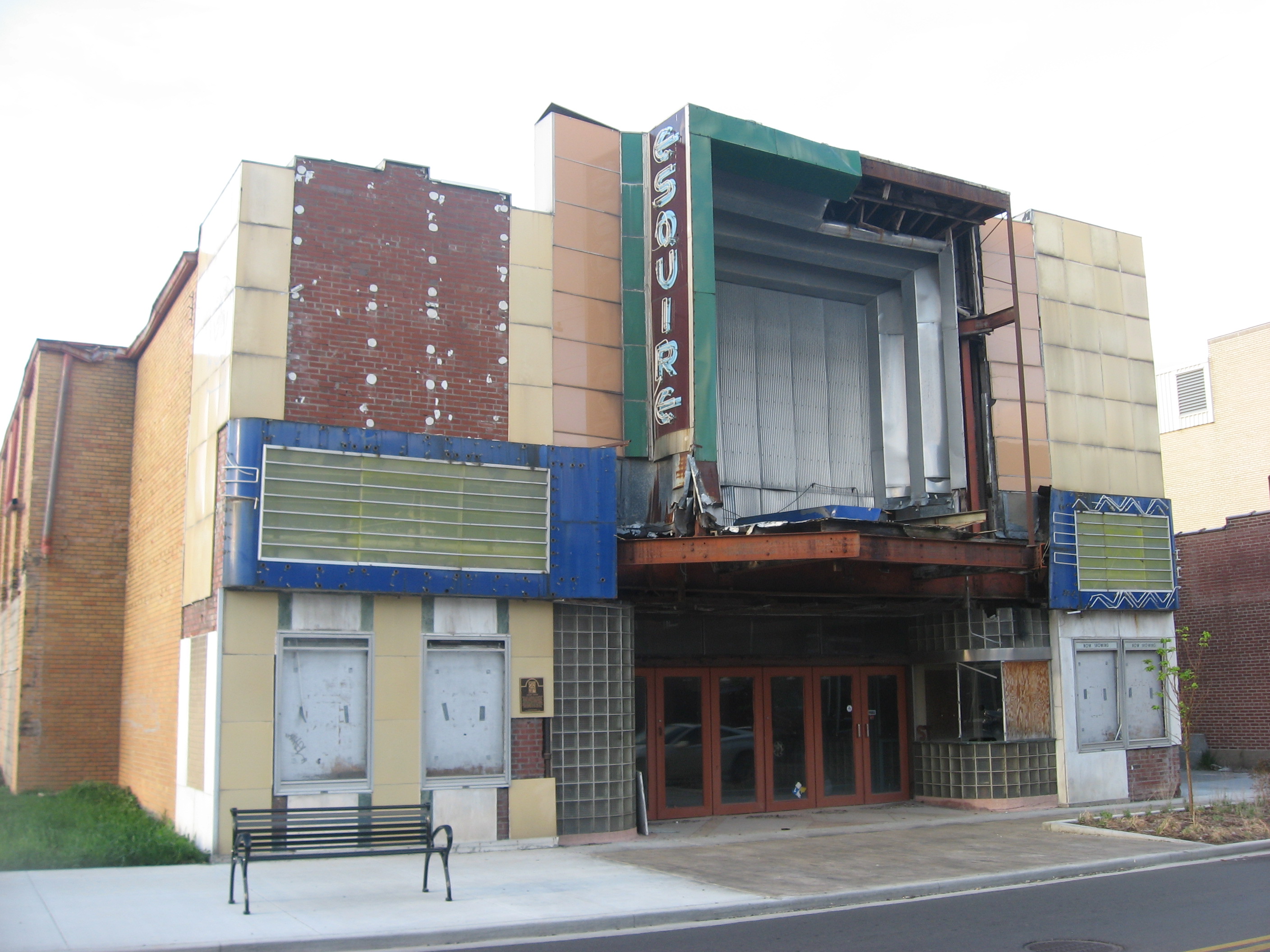
Bus stops
Social facilities
Clinics
Marketplaces
Funeral homes
Computer stores
Restaurants
Bars
Pharmacies
Fast food restaurants
Cannabis dispensaries
Variety stores
Universities
Studios
Schools
Convenience stores
Streets nearby
Independence StreetNunn Cemetery, Walgreens, John's Pharmacy
400 ft
North Hanover Street400 ft
Harmony StreetGreenlight Marijuana Dispensary Cape Girardeau
0.2 mi
Themis StreetCape Girardeau
0.2 mi
Bellevue Street0.2 mi
Merriwether Street0.2 mi
North Ellis Street0.2 mi
North Sprigg StreetRhodes Convenience Store, Rhodes, Domino's
0.3 mi
North Henderson Avenue0.3 mi
South Sprigg StreetGulf Junction
0.3 mi
South Hanover Street0.3 mi
South Pacific Street0.3 mi
South Ellis Street0.4 mi
Broadway StreetMissouri Job Center at SEMO, Dollar General, Trio Restaurant, Mary Jane Bourbon + Smokehouse, El Mezcal Mexican Grill, Burrito-Ville, Roni's Mac Bar - Cape Girardeau, Burger King, Kenny's Flippin Burgers
0.4 mi
South Benton Street0.4 mi
Fredrick Street0.4 mi
William StreetRhodes, Watami Sushi & Hibachi Steakhouse
0.4 mi
Good Hope StreetComputer 21
0.4 mi
North Frederick Street0.4 mi
North Middle Street0.4 mi
Morgan Oak Street0.5 mi
South Fountain Street0.5 mi
Shops nearby
Nip Kelley Equipment Company0.2 mi
Bakeries nearby
Cakes Reanimated0.2 mi
Buildings nearby
Community Partnership of Southeast Missouri0.3 mi
FCC Behavioral Health0.3 mi
FCC Behavioral Health Serenity Pointe0.3 mi
Missouri Drone Academy0.3 mi
Clinics nearby
Community Counseling Center0.4 mi
Commercial buildings nearby
Carpe Momentum School of Jiu-Jitsu LLC0.3 mi
Courthouses nearby
Rush Hudson Limbaugh Sr., United States Courthouse0.4 mi
Doctor's offices nearby
Charles Pewitt0.3 mi
Fire stations nearby
Cape Girardeau Fire Station No. 10.2 mi
Funeral homes nearby
Ford & Sons0.3 mi
Gas stations nearby
SEMO Gas0.3 mi
Indoor playgrounds nearby
Discovery Playhouse0.4 mi
Museums nearby
Cape River Heritage Museum0.3 mi
Places of worship nearby
Christ Eveangelical Church0.2 mi
Cathedral of Saint Mary of the Annunciation0.4 mi
Residential areas nearby
Albert Place150 ft
Houck Subdivision200 ft
Schultz Senior Apartments450 ft
Sloan Subdivision0.1 mi
Hendersons Subdivision0.1 mi
Kruegers Subdivision0.1 mi
Vogelsand Herbst Subdivision0.2 mi
Painter Partition0.3 mi
Stadiums nearby
Houck Field House0.3 mi
Supermarkets nearby
Save-A-Lot0.3 mi
Public transit map Cape Girardeau Legend
| Railway | |
| Bus | |
| Streetcar |
Bicycle map Cape Girardeau Legend
| Bike path | |
| Bike lane on roadway | |
| Cycling allowed on bus lane | |
| Bicycle street | |
| Open to cyclists | |
| Open to cyclists, good path | |
| Cycling prohibited | |
| Cobblestone |
| Long-distance bike route | (depending on scale) | |
| Long-distance bike route |
Pedestrian map Cape Girardeau Legend
| Path |
| Long-distance hiking trail | (depending on scale) | |
| Long-distance hiking trail | ||
| Pedestrians prohibited |