
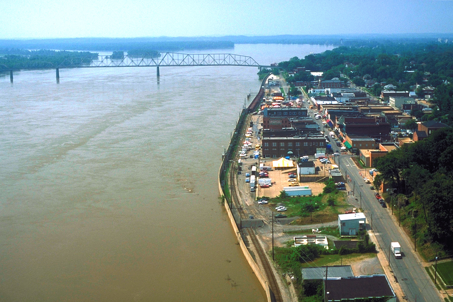
South Spanish Street in Cape Girardeau, Missouri
South Spanish Street in Cape Girardeau is a local road. It runs in a north-south direction starting from North Spanish Street and crosses Independence Street, Merriweather Street, William Street and Good Hope Street and ends at Morgan Oak Street. Nearby there is a marketplace.
- Road Type
- local road
- Postal Code
- 63703
- Route
- north-south
Image
Marketplaces
Streets nearby
South Main Street400 ft
South Lorimier Street450 ft
William StreetRhodes, Watami Sushi & Hibachi Steakhouse
500 ft
Merriweather Street500 ft
South Water Street500 ft
Good Hope StreetComputer 21
0.2 mi
Independence StreetNunn Cemetery, Walgreens, John's Pharmacy
0.2 mi
South Fountain Street0.2 mi
Morgan Oak Street0.3 mi
Aquamsi StreetCape Girardeau
0.3 mi
Fredrick Street0.3 mi
South Middle Street0.3 mi
Asher Street0.4 mi
South Sprigg StreetGulf Junction
0.4 mi
Shawnee ParkwayDecatur
0.4 mi
College Street0.5 mi
Antique stores nearby
Brick Street Gallery0.2 mi
Artworks nearby
Missouri Wall of Fame0.1 mi
Attractions nearby
Historic Cape Girardeau Bridge0.2 mi
Auto repair shops nearby
Murakami Auto Services0.1 mi
Buildings nearby
Riverside Pottery200 ft
Merriwether Pump Station0.1 mi
BNSF Depot0.1 mi
SEMO River Campus Seminary Building0.3 mi
SEMO River Campus Cultural Arts Center0.3 mi
FCC Behavioral Health Serenity Pointe0.4 mi
Missouri Drone Academy0.4 mi
Community Partnership of Southeast Missouri0.4 mi
Cafes nearby
Red Banner Coffee0.2 mi
Clinics nearby
Community Counseling Center0.3 mi
Community centers nearby
Knights of Columbus Council0.2 mi
Courthouses nearby
Rush Hudson Limbaugh Sr., United States Courthouse0.3 mi
Funeral homes nearby
Ford & Sons0.4 mi
Furniture stores nearby
Big Sandy Superstore550 ft
Interior decorators nearby
Terry McDowell Designs0.2 mi
Motorcycle shops nearby
BMW Motorrad0.1 mi
Museums nearby
Red House Interpretive Center400 ft
The Glenn House0.2 mi
Cape River Heritage Museum0.4 mi
Parks nearby
Murtaugh Park550 ft
Riverfront Park0.1 mi
Indian Park0.2 mi
Courthouse Park0.2 mi
Places of worship nearby
Saint Vincents Church100 ft
Cathedral of Saint Mary of the Annunciation0.4 mi
Residential areas nearby
Jefferson Heights0.5 mi
Garaghty Addition0.5 mi
Restaurants nearby
The Library0.2 mi
Other nearby
Cape Girardeau Flood Wall0.1 mi
Public transit map Cape Girardeau Legend
| Railway | |
| Bus | |
| Streetcar |
Bicycle map Cape Girardeau Legend
| Bike path | |
| Bike lane on roadway | |
| Cycling allowed on bus lane | |
| Bicycle street | |
| Open to cyclists | |
| Open to cyclists, good path | |
| Cycling prohibited | |
| Cobblestone |
| Long-distance bike route | (depending on scale) | |
| Long-distance bike route |
Pedestrian map Cape Girardeau Legend
| Path |
| Long-distance hiking trail | (depending on scale) | |
| Long-distance hiking trail | ||
| Pedestrians prohibited |