
Approach to Panty Wall in Clark County, Nevada
Approach to Panty Wall in Clark County is a path. It runs in a southeast-northwest direction and ends in a cul-de-sac.
- Road Type
- path
- Route
- southeast-northwest
Image
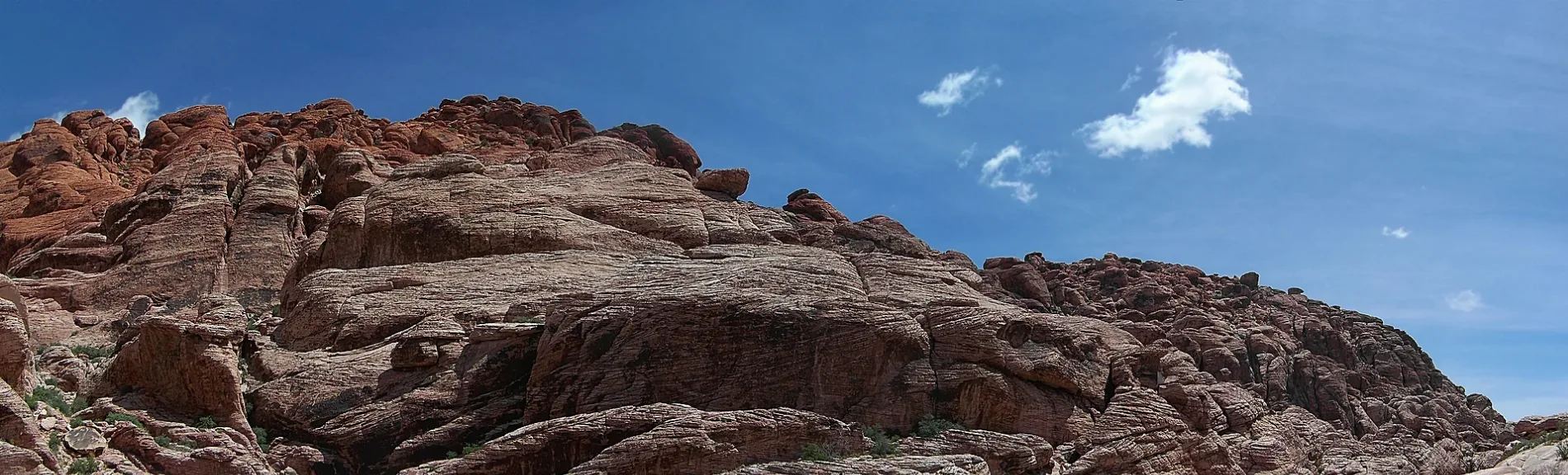
Streets nearby
Approach to Gnat Man Crag0.2 mi
Approach to Dickies Cliff0.2 mi
Approach to Cowlick Crag0.2 mi
Guardian AngelTop of the Hill Viewpoint
0.2 mi
Riding Hood Wall Climbers Walk-Off0.3 mi
Riding Hood Wall Approach0.3 mi
Child's Play Approach0.3 mi
Calico Hills TrailCalico II, Calico I
0.4 mi
Civilization Crag Approach0.4 mi
Girl Scout TrailGirl Scout Trail
0.4 mi
Approach trail to The Black Corridor0.5 mi
Approach to Sweet Pain0.5 mi
Approach to Stone Wall0.5 mi
Approach to Meetup Wall0.5 mi
Moenkopi LoopRed Rock Mountain 360 View Deck
0.5 mi
Approach trail to The Gallery0.6 mi
Ash Spring Trail0.6 mi
Little Springs Road0.6 mi
Rock Climbers Approach Trail0.6 mi
Kraft Mountain Loop TrailGene's Trail, Kraft Mountain Loop, Ash Spring
0.7 mi
Red Spring Boardwalk0.7 mi
Calico Basin TrailCalico Basin Trail
0.7 mi
Sage Place0.7 mi
Calico Overlook TrailCalico Overlook Trail
0.8 mi
Calico Drive0.8 mi
Assisi Canyon AvenueCalico Basin
0.8 mi
Sandstone Drive0.8 mi
Roundabout Circle0.8 mi
Moderate Mecca Approach0.9 mi
Heyer Way0.9 mi
Scenic DriveHigh Point Overlook
1.0 mi
Santeria East1.0 mi
Santeria1.0 mi
Red Rock Visitor Center RoadCliff Dancers
1.1 mi
Bare rocks nearby
Cannibal Crag0.5 mi
Boulders nearby
Tiger Lily Boulder0.5 mi
Sorange Boulder0.8 mi
Heart and Sole Boulder0.8 mi
Big Mac Crack0.8 mi
Cliffs nearby
The Black Corridor - Upper Level, Left Wall0.5 mi
The Black Corridor - Upper Level, Right Wall0.5 mi
The Gallery0.6 mi
Wall of Confusion0.6 mi
Moderate Mecca0.8 mi
Covered areas nearby
Air Pavilion1.0 mi
Fire Pavilion1.0 mi
Earth Pavilion1.0 mi
Ranger stations nearby
Red Rock Canyon Visitor Center1.0 mi
Shelters nearby
Red Spring Picnic Area0.7 mi
 Public transit map Clark County Legend
| Railway | |
| Bus | |
| Streetcar |
 Bicycle map Clark County Legend
| Bike path | |
| Bike lane on roadway | |
| Cycling allowed on bus lane | |
| Bicycle street | |
| Open to cyclists | |
| Open to cyclists, good path | |
| Cycling prohibited | |
| Cobblestone |
| Long-distance bike route | (depending on scale) | |
| Long-distance bike route |
 Pedestrian map Clark County Legend
| Path |
| Long-distance hiking trail | (depending on scale) | |
| Long-distance hiking trail | ||
| Pedestrians prohibited |