
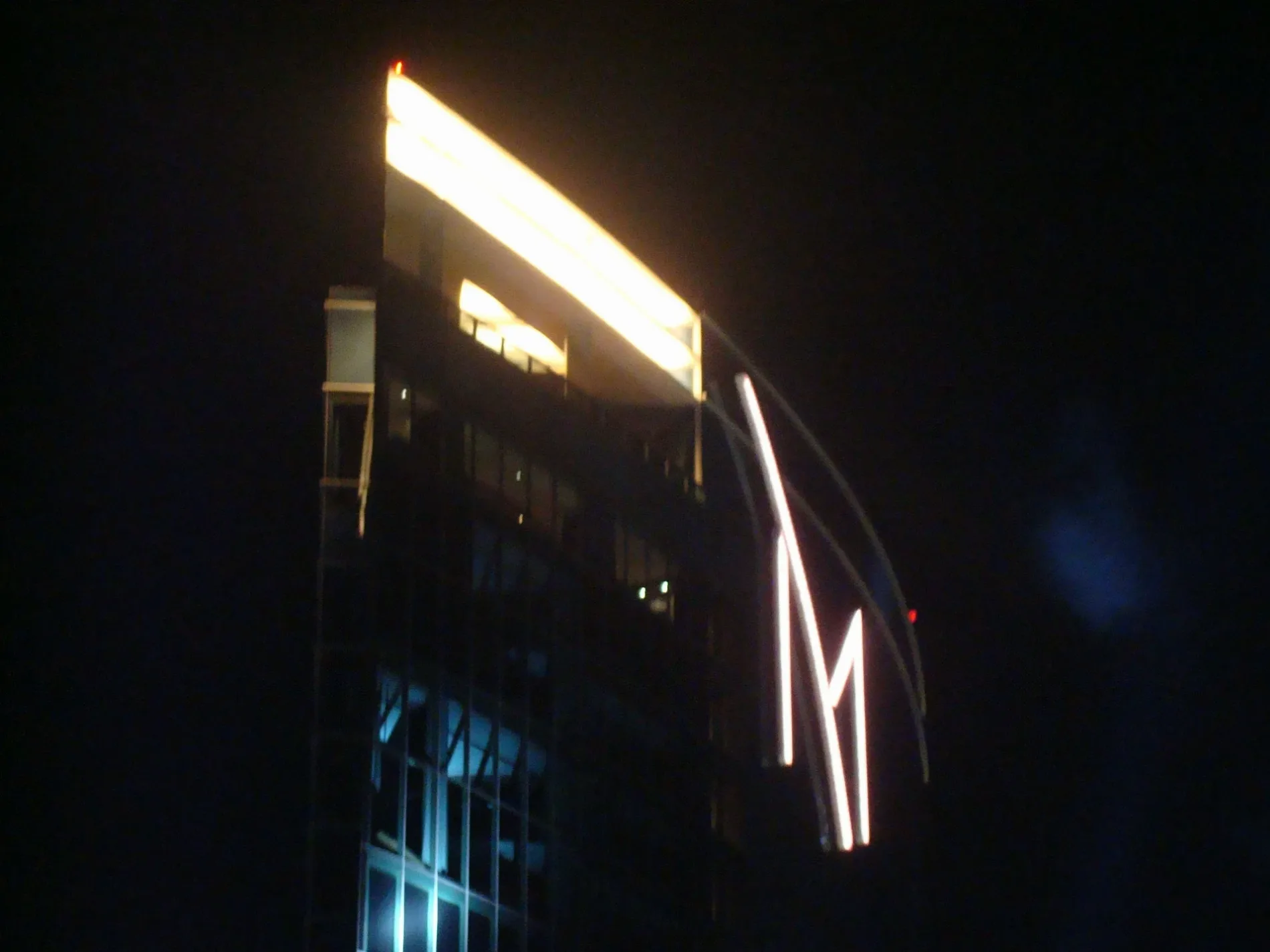
The M Resort in Henderson, Nevada
The M Resort in Henderson is a hotel, Las Vegas Boulevard S 12300. Ⓦ.
- House Number
- 12300
- Street
- Las Vegas Boulevard S
- Amenity
- casino
- Building Type
- building
- Tourism
- hotel
- Website
- https://www.themresort.com/
Image
Cafes
Pubs
Convenience stores
Clinics
Tobacco shops
Bus stops
Restaurants
Fast food restaurants
Charging stations
Dentist offices
Hair salons
Beauty salons
Streets nearby
Volunteer BoulevardWestbound Volunteer after Gilespie, Westbound Volunteer before Bermuda, Terrible's, Starbucks, Dentists of West Henderson, World of Wings
0.2 mi
South Las Vegas BoulevardNorthbound Las Vegas after Volunteer, Northbound Las Vegas Boulevard after Saint Rose
0.2 mi
Haven Street0.3 mi
Bowes Avenue0.3 mi
Saint Rose Parkway Trailampm, Scrambled, Eastbound Saint Rose after Bermuda, Eastbound Saint Rose after Raiders, Eastbound Saint Rose after Amigo, Starbucks, Gun Shop Las Vegas, Verizon, ChargePoint, Mothership Coffee Roasters
0.3 mi
Gabriel Street0.3 mi
Saint Rose ParkwayJack in the Box, Northbound Street Rose after Paseo Verde
0.3 mi
Augmon Avenue0.3 mi
Rettigdale Way0.3 mi
Dale Avenue0.3 mi
Rancho Destino Road0.4 mi
Keehn Avenue0.4 mi
East Bruner AvenueLion Habitat Ranch
0.4 mi
Yellow Blaze Way0.4 mi
Rettig Avenue0.4 mi
Crimson Horizon Road0.4 mi
Grand Mosaic Street0.4 mi
Lucky Lavender Court0.4 mi
Radiant Sunrise Road0.4 mi
Indigo Montage Road0.5 mi
Glass Desert Road0.5 mi
West Bruner Avenue0.5 mi
Parvin Street0.5 mi
Amber Glow Lane0.5 mi
Desert Light Road0.5 mi
Atomic Tangerine Way0.5 mi
Tahiti Grape Way0.5 mi
Mosaic Moon Lane0.5 mi
Montage Sun Road0.5 mi
Plum Mist Court0.5 mi
Golden Wreath Road0.5 mi
Dusk Blue Way0.5 mi
Desert Mosaic Lane0.5 mi
Mojave Gold Road0.5 mi
Amethyst Sky Way0.5 mi
Platinum Moon Lane0.5 mi
Indigo Falls Road0.5 mi
Azure Gate Road0.6 mi
Cerulean Stars Lane0.6 mi
Welpman Way0.6 mi
Copper Wind Lane0.6 mi
Convenience stores nearby
Green Valley Grocery0.2 mi
Gas stations nearby
Arco0.2 mi
Shell0.3 mi
Industrial areas nearby
Transportation Department of the Clark County School District0.5 mi
Parking lots nearby
M Resort Self Parking0.1 mi
Pubs nearby
PKWY Tavern0.3 mi
Residential areas nearby
Mosaic Townhomes0.4 mi
Self storages nearby
All Storage Vehicles & More0.5 mi
| Year built | 2009 |
|---|---|
| Located in | Nevada |
| Country | United States |
 Public transit map Henderson Legend
| Railway | |
| Bus | |
| Streetcar |
 Bicycle map Henderson Legend
| Bike path | |
| Bike lane on roadway | |
| Cycling allowed on bus lane | |
| Bicycle street | |
| Open to cyclists | |
| Open to cyclists, good path | |
| Cycling prohibited | |
| Cobblestone |
| Long-distance bike route | (depending on scale) | |
| Long-distance bike route |
 Pedestrian map Henderson Legend
| Path |
| Long-distance hiking trail | (depending on scale) | |
| Long-distance hiking trail | ||
| Pedestrians prohibited |