
Cetus Circle in Las Vegas
Cetus Circle in Las Vegas is an asphalted residential street (also known as Cetus). It runs in an east-west direction and crosses Lepus Drive. It ends in a cul-de-sac. Cetus Circle is also known as Cetus. Ⓦ.
- Alternate Name
- Cetus
- Road Type
- residential street
- Route
- east-west
Image
Streets nearby
Lepus Drive50 ft
Enticement Avenue250 ft
Draco Circle300 ft
Delightful Avenue300 ft
North Cimarron RoadNorthbound Cimarron after Odysseus, Northbound Cimarron after Deer Springs, Southbound Cimarron after Hesperides, Southbound Cimarron after Elkhorn, Southbound Cimarron before Soaring Gulls, Complete Cleaners, Odin's Halls Brazilian Jiu Jitsu and Fitness
400 ft
Heavenly Star Circle450 ft
Carmen Boulevard500 ft
Attraction Court550 ft
Bay Springs Drive0.1 mi
Lions Rock Way0.1 mi
Shirleyann Lane0.1 mi
Norma Joyce Lane0.1 mi
Rim Rock Way0.1 mi
Fascination Street0.1 mi
Sunset Mill Drive0.1 mi
Meridian Bay Drive0.1 mi
Cherish Avenue0.1 mi
Little Dipper Street0.1 mi
James Brandom Way0.1 mi
Celestial Lane0.1 mi
Diamond Rock Way0.2 mi
Cinder Rock Drive0.2 mi
Oak Rock Drive0.2 mi
Desire Drive0.2 mi
Dolphin Landing Drive0.2 mi
Pinto Rock Lane0.2 mi
Decker Canyon Drive0.2 mi
Captivation Court0.2 mi
Terrace Rock Way0.2 mi
Hercules Drive0.2 mi
Spiral Drive0.2 mi
Allure Drive0.2 mi
Astrology Court0.2 mi
Sloop Drive0.2 mi
Boulder Mesa Drive0.2 mi
Divine Drive0.2 mi
Kokoma Drive0.2 mi
Falconhead Lane0.2 mi
Rock Port Circle0.2 mi
Intrigue Way0.2 mi
Barton Green Drive0.2 mi
Matagorda Lane0.3 mi
Marblehead Way0.3 mi
Tempation Lane0.3 mi
Sulphur Spring Lane0.3 mi
Padre Island Street0.3 mi
Rio de Janeiro Drive0.3 mi
West Washington AvenueWestbound Washington after Cimarron, City of Las Vegas Fire Station Number 44, Eastbound Washington before Buffalo, Eastbound Washington after Cimarron, Westbound Washington after Red Boulder, Westbound Washington after Buffalo, Eastbound Washington after Majestic Rock, Westbound Washington after Rock Springs, Eastbound Washington at 7501 West Washington, Westbound Washington before Buffalo, Westbound Washington before Rancho, Eastbound Washington after Minnesota, Eastbound Washington after Michael, Eastbound Washington before Marie Fenlon, Westbound Washington after Smith, Westbound Washington after Michael, Westbound Washington after Minnesota, Eastbound Washington after H, Eastbound Washington after J, Westbound Washington after J, Westbound Washington after H, Westbound Washington after Tonopah, Westbound Washington after Robin, Reble, The Real Crepe, Pioneer Park, Eastbound Washington after Martin Luther King, Westbound Washington after Martin Luther King, Eastbound Washington after Durango, Eastbound Washington after Tonopah, Westbound Washington after Comstock, Eastbound Washington after Comstock, Eastbound Washington after Valley View, Westbound Washington before Valley View, Westbound Washington after Confetti Grdens, Eastbound Washington before D, Westbound Washington after D, Westbound Washington after Sahara, Westbound Washington after Baker, Eastbound Washington after Decatur, Eastbound Washington after Chabot, Eastbound Washington after Hogan, Westbound Washington before Decatur, Westbound Washington after Ann, Westbound Washington after Main, Westbound Washington before Rainbow, McDonald's, Eastbound Washington after Buffalo, Eastbound Washington after Rainbow, Westbound Washington after Torrey Pines, Eastbound Washington after Purcell, Westbound Washington before Durango, Eastbound Washington before Washngton Oaks, Westbound Washington after Washington Oaks, Westbound Washington after Tenaya, Eastbound Washington before Restful Spr Ct, O'Reilly Auto Parts, Eastbound Washington after Torrey Pines, Eastbound Washington before Wallace, Westbound Washington after Greystone, Eastbound Washington after Jones, Westbound Washington after Jones
0.3 mi
Rockview Drive0.3 mi
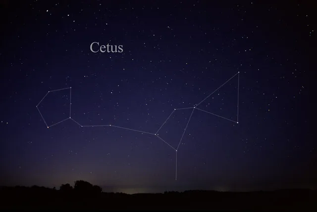
| Named after | Cetus, Cetacea |
|---|---|
| Area | 1231 |
| Official name | Cetus |
| Described by | Armenian Soviet Encyclopedia, Brockhaus and Efron Encyclopedic Dictionary, A field book of the stars, Star Lore of All Ages, Encyclopædia Britannica 11th edition, Pauly–Wissowa |
 Public transit map Las Vegas Legend
| Railway | |
| Bus | |
| Streetcar |
 Bicycle map Las Vegas Legend
| Bike path | |
| Bike lane on roadway | |
| Cycling allowed on bus lane | |
| Bicycle street | |
| Open to cyclists | |
| Open to cyclists, good path | |
| Cycling prohibited | |
| Cobblestone |
| Long-distance bike route | (depending on scale) | |
| Long-distance bike route |
 Pedestrian map Las Vegas Legend
| Path |
| Long-distance hiking trail | (depending on scale) | |
| Long-distance hiking trail | ||
| Pedestrians prohibited |