
Hydra Lane in Las Vegas
Hydra Lane in Las Vegas is an asphalted residential street. It runs in an east-west direction and crosses Sagitta Lane, Spice Sky Drive and Galactic Way and ends at Spiral Drive, while the other end is a cul-de-sac. Hydra Lane is also known as Hya. Ⓦ.
- Road Type
- residential street
- Route
- east-west
Image
Streets nearby
Galactic Way150 ft
Cimarron Ridge Drive300 ft
Spice Sky Drive350 ft
Asteroid Way400 ft
Sickle Lane400 ft
Star Quake Lane450 ft
Hercules Drive0.1 mi
Desert Canyon Court0.1 mi
Pueblo Vista Drive0.1 mi
Sagitta Lane0.1 mi
Astronomy Circle0.1 mi
Sky Canyon Court0.2 mi
Peaceful Canyon Drive0.2 mi
Sand Canyon Drive0.2 mi
Meteorite Circle0.2 mi
Couples Street0.2 mi
Hidden Shelter Way0.2 mi
Verplank Avenue0.2 mi
Parnevik Street0.2 mi
Elkington Avenue0.2 mi
Pavin Avenue0.2 mi
Tiger Woods Avenue0.2 mi
Cactus Canyon Court0.2 mi
Sluman Court0.2 mi
Sindelar Court0.2 mi
Camp Oasis Avenue0.2 mi
Faldo Street0.2 mi
Wandering Winds Way0.2 mi
Mize Street0.2 mi
Silver Sierra Street0.2 mi
Royal Canyon Drive0.2 mi
Sun Canyon Court0.3 mi
Olive Canyon Drive0.3 mi
Willow Point Court0.3 mi
Vegas DriveEastbound Vegas before Rainbow, West Las Vegas, Westbound Vegas after Cielo Vista, Westbound Vegas after Durango, Eastbound Vegas before Robin, Westbound Vegas after Windchime, Westbound Vegas before Tonopah, Westbound Vegas after Martin Luther King, Westbound Vegas after Buffalo, Eastbound Vegas after Buffalo, Westbound Vegas after Cordoba, Westbound Vegas after Valley, Westbound Vegas after Sunset, Eastbound Vegas after Mountain, Eastbound Vegas after Yellow Rose, Eastbound Vegas after Michael, Eastbound Vegas after Laurelhurst, She’ll, Westbound Vegas after Cimarron, Westbound Vegas before Gleeson, Eastbound Vegas after Gleeson, Eastbound Vegas after Cimarron, Westbound Vegas after Saylor, Westbound Vegas after Rancho, Westbound Vegas after Royal Palm, Eastbound Vegas after Decatur, Westbound Vegas before Rainbow, Westbound Vegas after Burningwood, Westbound Vegas after Torrey Pines, Westbound Vegas before Path Finder, Eastbound Vegas before Jones, Eastbound Vegas after Torrey Pines, Eastbound Vegas after Amelia, Eastbound Vegas after Mize, Eastbound Vegas after Riverside, Westbound Vegas after Robin, Eastbound Vegas after Tonopah, Eastbound Vegas after Saylor, Eastbound Vegas after Jones, Westbound Vegas before Leonard, Westbound Vegas after Decatur, Eastbound Vegas after Rancho, Eastbound Vegas after Asteroid, Westbound Vegas after Pueblo Vista, Westbound Vegas after Pacific Terrace, Eastbound Vegas after Pioneer, Eastbound Vegas after Tenaya, Westbound Vegas after Rock Springs, Eastbound Vegas after Rock Springs, Westbound Vegas after Jones
0.3 mi
Eagle Eye Avenue0.3 mi
Ruby Mount Way0.3 mi
Desert Fort Street0.3 mi
Mill Canyon Drive0.3 mi
Double Arch Court0.3 mi
Double Arrow Place0.3 mi
Pink Cliff Court0.3 mi
Plata Pico Drive0.3 mi
Ventosa Way0.3 mi
Willowleaf Court0.4 mi
Desert Quail Drive0.4 mi
Taos Estates Street0.4 mi
Aztec Cliffs Court0.4 mi
Community centers nearby
Bet Yossef Community Center0.3 mi
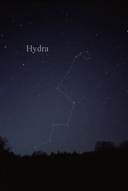
| Named after | Hydra |
|---|---|
| Area | 1303 |
| Official name | Hydra |
| Described by | Great Soviet Encyclopedia (1926–1947), Hydra, Meyers Konversations-Lexikon, 4th edition (1885–1890), Star Lore of All Ages, Encyclopædia Britannica 11th edition |
 Public transit map Las Vegas Legend
| Railway | |
| Bus | |
| Streetcar |
 Bicycle map Las Vegas Legend
| Bike path | |
| Bike lane on roadway | |
| Cycling allowed on bus lane | |
| Bicycle street | |
| Open to cyclists | |
| Open to cyclists, good path | |
| Cycling prohibited | |
| Cobblestone |
| Long-distance bike route | (depending on scale) | |
| Long-distance bike route |
 Pedestrian map Las Vegas Legend
| Path |
| Long-distance hiking trail | (depending on scale) | |
| Long-distance hiking trail | ||
| Pedestrians prohibited |