
Jewelflower Avenue in Las Vegas
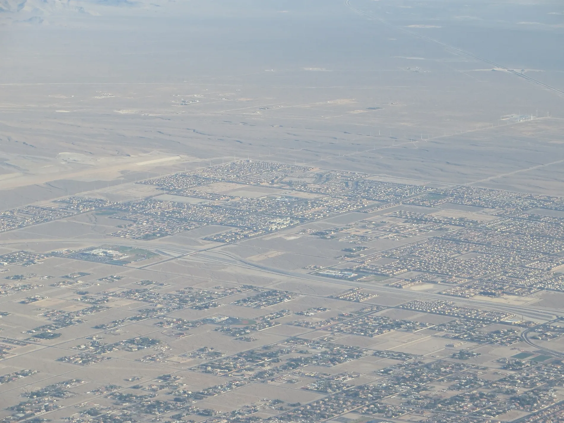
Jewelflower Avenue in Las Vegas is a residential street (private) and it runs in an east-west direction starting from Wild Senna Street and continues into Shirley Poppy Street.
- Road Type
- residential street
- Route
- east-west
Image
Hair salons
Cafes
Vending machines
Car washes
Beauty salons
Pet grooming salons
Bus stops
Restaurants
Post offices
Cosmetics stores
Convenience stores
Vehicle inspection stations
Fast food restaurants
Dentist offices
Streets nearby
Shirley Poppy Street200 ft
Wild Senna Street400 ft
Mariposa Lily Avenue400 ft
Maiden Pink Avenue500 ft
Winecup Street0.1 mi
Desert Spoon Avenue0.1 mi
Fairy Duster Street0.2 mi
Bristle Fall Street0.2 mi
Inyo Avenue0.2 mi
North Conquistador Street0.2 mi
Cascade Peak Court0.2 mi
Gold Strike Canyon Street0.2 mi
Mosiac Canyon Court0.2 mi
West Centennial ParkwayDee's Donuts, Angel Cleaners, Westbound Centennial after Tenaya, Habaneros Taco Grill, All Star Dry Cleaners, North End Pizza, 4 Ur Nails & Spa, Chip Off The Block Deli, The Butcher Block, AutoNation, Texaco, Short Line Express, JIffy Smog, Dr. Scoop's Thrifty Ice Cream, La Madre Foothills, McDonald's, Terrible's
0.2 mi
North Hualapai WayDesert Pit Stop Car Wash, Desert Pit Stop Smog, Desert Pit Stop, AmeriGas, Pink Rose Nails, Subway, Southbound Hualapai after Elkhorn, Northbound Hualapai before Gowan, Northbound Hualapai after Cheyenne, Northbound Hualapai after Elkhorn, Northbound Hualapai after Dorrell, Northbound Hualapai after Deer Springs, Southbound Hualapai after Dorrell, Northbound Hualapai after Gilcrease, Northbound Hualapai after Farm, Southbound Hualapai after Farm, Southbound Hualapai before Elkhorn, Southbound Hualapai after Grand Teton, Southbound Hualapai before Farm
0.2 mi
Arch Canyon Court0.3 mi
North Grand Canyon DriveNorthbound Grand Canyon after Grand Teton, Starbucks, Tropical Smoothie Cafe, Subway, Woofgang Pup Bakery, Northbound Grand Canyon after Eagle Canyon
0.3 mi
Cascade Crest Street0.3 mi
Painted Creek Street0.3 mi
Mountain Foothill Avenue0.3 mi
West Deer Springs WayWestbound Deer Springs after Summer Sky, Eastbound Deer Springs after Cimarron, Eastbound Deer Sprngs at Cent Hlls Com Center, Eastbound Deer Springs before Riley, Westbound Deer Springs before Durango, Westbound Deer Springs after Gr Montecito, Eastbound Deer Springs after Bradley, Eastbound Deer Springs after Fort Apache, Westbound Deer Springs before Campbell, Westbound Deer Springs after Durango, Eastbound Deer Springs after Grand Canyon, Westbound Deer Springs before Grand Canyon, Westbound Deer Springs after Tee Pee, Eastbound Deer Springs after Tee Pee, Westbound Deer Springs after Fort Apache, Eastbound Deer Springs after Hualapai, Burger King, Eastbound Deer Springs after Durango
0.3 mi
Cambridge Brook Avenue0.4 mi
Bruschi Ridge Court0.4 mi
Cold Desert Street0.4 mi
Summer Bliss Avenue0.4 mi
Sycamore Pines Street0.4 mi
Ashlynn Peak Court0.4 mi
Magnifico Circle0.4 mi
Echelon Point Drive0.4 mi
Ojibwa Avenue0.4 mi
Hohokam Street0.4 mi
West Regena Avenue0.4 mi
Kickapoo Avenue0.4 mi
North Eula Street0.5 mi
Clay Tablet Street0.5 mi
Bruce Woodbury Beltway0.5 mi
Azure Drive0.5 mi
Bedford Falls Circle0.5 mi
Bedford Falls Drive0.5 mi
North Jensen Street0.5 mi
North Park Street0.5 mi
North Tee Pee Lane0.5 mi
Leeland Court0.6 mi
Flat Rock Creek Court0.6 mi
Royal Brook Court0.6 mi
Auto parts stores nearby
AutoZone0.3 mi
Fitness centers nearby
Planet Fitness0.3 mi
Hospitals nearby
ER at Skye Hills0.2 mi
Supermarkets nearby
Albertsons0.3 mi
Public transit map Las Vegas Legend
| Railway | |
| Bus | |
| Streetcar |
Bicycle map Las Vegas Legend
| Bike path | |
| Bike lane on roadway | |
| Cycling allowed on bus lane | |
| Bicycle street | |
| Open to cyclists | |
| Open to cyclists, good path | |
| Cycling prohibited | |
| Cobblestone |
| Long-distance bike route | (depending on scale) | |
| Long-distance bike route |
Pedestrian map Las Vegas Legend
| Path |
| Long-distance hiking trail | (depending on scale) | |
| Long-distance hiking trail | ||
| Pedestrians prohibited |