
Pawnee Drive in Clark County, Nevada
Pawnee Drive in Clark County is a residential street. Pawnee Drive is also known as Pawnees. Pawnee Drive also exists in Lyon County. Ⓦ.
- Road Type
- residential street
Image
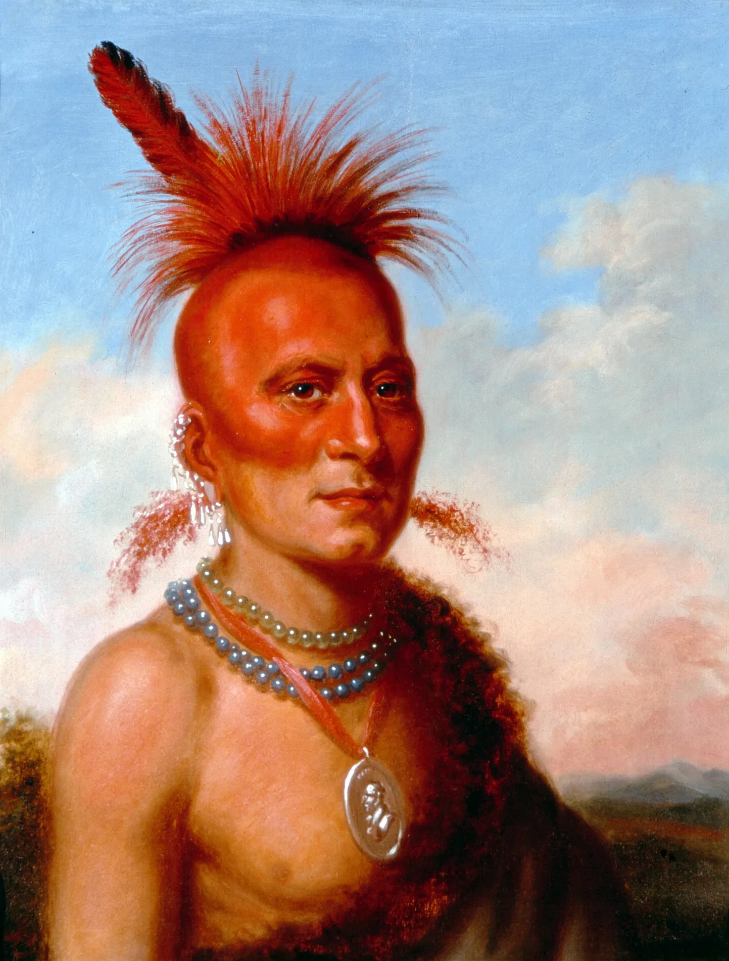
Streets nearby
Pawnee Circle250 ft
Nahatan Way400 ft
Chippewa Drive450 ft
Dakota Way550 ft
Chippewa Circle0.1 mi
Sombrero Drive0.1 mi
Aztec Way0.2 mi
Sioux Way0.2 mi
Seminole Circle0.2 mi
Commanche Circle0.2 mi
Spencer StreetTropicana Christian Fellowship Church, Great Clips, Northbound Spencer before Richmar, Northbound Spencer after Graystone Canyon, Northbound Spencer after Pyle, Northbound Spencer after Silverado Ranch
0.2 mi
Algonquin Circle0.2 mi
Commanche Drive0.2 mi
La Canada Street0.2 mi
Silver Mesa Way0.2 mi
Maricopa Way0.2 mi
Cayuga Parkway0.2 mi
Ayita Circle0.3 mi
Sombrero Circle0.3 mi
Medicine Man Way0.3 mi
Seneca Drive0.3 mi
Caballero Way0.3 mi
Raindance Way0.3 mi
Golden Arrow Drive0.3 mi
Yuma Circle0.3 mi
Sundown Drive0.3 mi
Iglesia Street0.3 mi
Gaucho Drive0.3 mi
Zuni Circle0.4 mi
Cochise Lane0.4 mi
Palora Avenue0.4 mi
Pueblo Circle0.4 mi
Talbot Circle0.4 mi
Serenada Avenue0.4 mi
Burnham Avenue0.4 mi
Camel Back Circle0.4 mi
Camel Back Drive0.4 mi
Tona Circle0.4 mi
Berman Street0.4 mi
Siesta Avenue0.4 mi
Pueblo Way0.5 mi
El Cajon Street0.5 mi
Capistrano Avenue0.5 mi
Playa del Rey Street0.5 mi
Capistrano Circle0.5 mi
Talbot Street0.5 mi
Palma Vista Circle0.5 mi
Brazos Street0.5 mi
Palma Vista Avenue0.5 mi
| Located in | Oklahoma |
|---|---|
| Population | 6800 |
| Described by | Meyers Konversations-Lexikon, 4th edition (1885–1890) |
| Has part | Skidi |
 Public transit map Clark County Legend
 | Railway | |
| Bus | |
| Streetcar |
 Bicycle map Clark County Legend
 | Bike path | |
| Bike lane on roadway | |
| Cycling allowed on bus lane | |
| Bicycle street | |
| Open to cyclists | |
| Open to cyclists, good path | |
| Cycling prohibited | |
| Cobblestone |
| Long-distance bike route | (depending on scale) | |
| Long-distance bike route |
 Pedestrian map Clark County Legend
 | Path |
| Long-distance hiking trail | (depending on scale) | |
| Long-distance hiking trail | ||
| Pedestrians prohibited |