
Buckland Station in Lyon County, Nevada
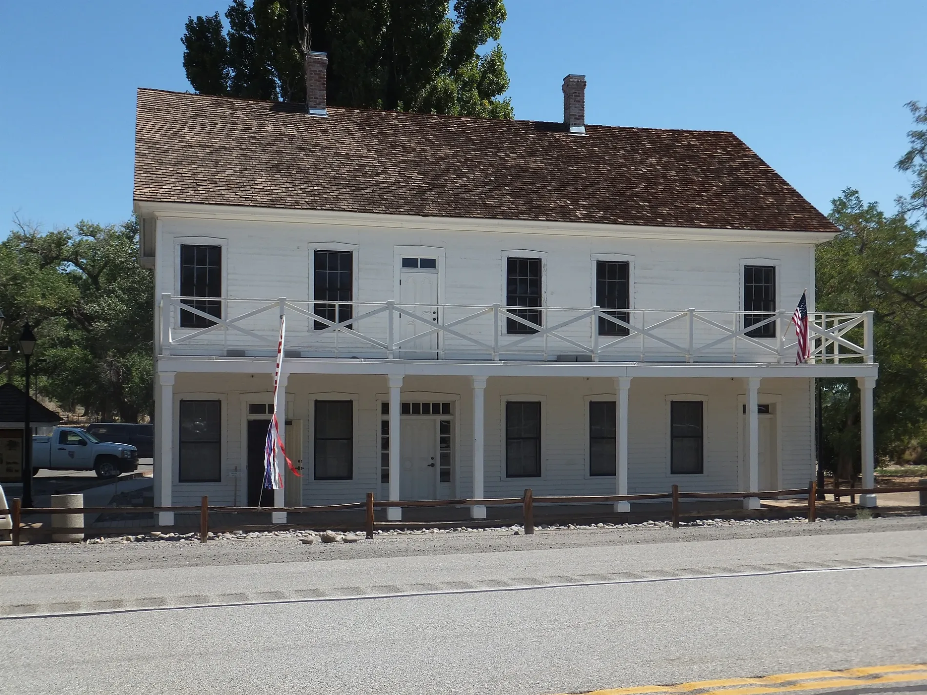
Buckland Station in Lyon County is a historic building. Buckland Station is located near Caribou Street. Buckland Station is built in the Greek Revival architecture style. Ⓦ.
- Building Type
- building
- Website
- https://parks.nv.gov/parks/buckland-station
Image
Streets nearby
Old Highway Road0.8 mi
Caribou Street0.8 mi
Simpson RoadDavis Station
0.8 mi
Fort Churchill Road0.9 mi
Ermine Street1.1 mi
Paseo Street1.3 mi
Via Toledo Street1.3 mi
Via Camino1.4 mi
Railroad Street1.6 mi
Via Segundo1.6 mi
Angle Street1.8 mi
Cherry Street1.9 mi
Grouse Street2.0 mi
Antelope Street2.2 mi
Hare Street2.2 mi
Fox Street2.4 mi
10th Street2.4 mi
Karen Street2.5 mi
Angel Street2.6 mi
Elm StreetFaith Baptist Academy
2.7 mi
Cooney Street2.8 mi
9th Street2.8 mi
Frontage Road2.9 mi
Deer Street2.9 mi
8th Street2.9 mi
Sherwin Way3.0 mi
Hooten Drive3.1 mi
Annetta Street3.1 mi
Beech Street3.1 mi
Catfish Street3.1 mi
Ss Pit Road3.1 mi
Bass Street3.1 mi
7th Street3.2 mi
Badger Street3.2 mi
Redwood Street3.2 mi
Remington Road3.2 mi
Crest Drive3.2 mi
Dace Street3.3 mi
Cougar Street3.3 mi
Springfield Road3.4 mi
Citrus Street3.4 mi
Winchester Road3.5 mi
6th Street3.5 mi
Deodar Street3.6 mi
Jacaranda Avenue3.6 mi
5th Street3.7 mi
Cemeteries nearby
Churchill Cemetery0.9 mi
Railways nearby
UP Mina Subdivision1.7 mi
Rivers nearby
Carson River0.1 mi
| Architectural style | Greek Revival architecture |
|---|---|
| Heritage designation | National Register of Historic Places listed place |
| Located in | Nevada |
| Country | United States |
 Public transit map Lyon County Legend
| Railway | |
| Bus | |
| Streetcar |
 Bicycle map Lyon County Legend
| Bike path | |
| Bike lane on roadway | |
| Cycling allowed on bus lane | |
| Bicycle street | |
| Open to cyclists | |
| Open to cyclists, good path | |
| Cycling prohibited | |
| Cobblestone |
| Long-distance bike route | (depending on scale) | |
| Long-distance bike route |
 Pedestrian map Lyon County Legend
| Path |
| Long-distance hiking trail | (depending on scale) | |
| Long-distance hiking trail | ||
| Pedestrians prohibited |