
6th Street in Fernley, Nevada
6th Street in Fernley is an asphalted residential street. It runs in a north-south direction starting from East Main Street and crosses Earth Circle, B Street, C Street, D Street, E Street and G Street and ends at F Street. 6th Street also exists in Washoe County, Pershing County, Elko County and Clark County.
- Road Type
- residential street
- Route
- north-south
Image
Game stores
Town halls
Pet stores
Tobacco shops
Studios
Gun stores
Cell phone stores
Restaurants
Convenience stores
Interior decorators
Fast food restaurants
Artworks
Clothing stores
Supermarkets
Tattoo studios
Dentist offices
Courthouses
Beauty salons
Liquor stores
Copy shops
Antique stores
Ice cream shops
Streets nearby
C Street50 ft
D Street300 ft
E Street500 ft
Earth Circle0.1 mi
F Street0.1 mi
East Main StreetUSA Cash Services, Speakeasy Tattoo & Piercing, Head Shop, Fernley Liquor & Smoke, Subway, Three Happy Hounds, Electric Sun, The Nest, La Fiesta, 1st Choice Truck Services, Patriot Prescision, Southern Charm Boutique & Workshop, 101.3FM KRNG Fernly, Aloha Skate Shop, Fearless Authentic, Elevated Art
0.1 mi
Lois Lane0.1 mi
Village Drive0.2 mi
B StreetVial Family Dentistry, Dice 'N Duels
0.2 mi
7th Street0.2 mi
G Street0.2 mi
Westerlund Lane0.2 mi
Silver Lace BoulevardFernley City Hall, Fernley Municipal Court
0.3 mi
Primrose Drive0.3 mi
Brittany Court0.3 mi
Vance Drive0.3 mi
Wildrose Court0.3 mi
Wildrose Drive0.3 mi
Maple Street0.3 mi
Todd Court0.4 mi
Bramble Court0.4 mi
Bramble Drive0.4 mi
Aspen Way0.4 mi
Willow Way0.4 mi
Michelsen Road0.4 mi
Concord Circle0.4 mi
Sycamore Street0.4 mi
Shadow LaneRound Table Pizza
0.4 mi
Ranch Road0.4 mi
Curry Drive0.4 mi
Suzanne Court0.4 mi
Spruce Drive0.5 mi
Fargo Way0.5 mi
Farm Circle0.5 mi
Pioneer Court0.5 mi
Appaloosa Way0.5 mi
Spring Drive0.5 mi
Amenities nearby
Boys and Girls Fernley Clubhouse0.1 mi
Buildings nearby
Lyon County Human Services500 ft
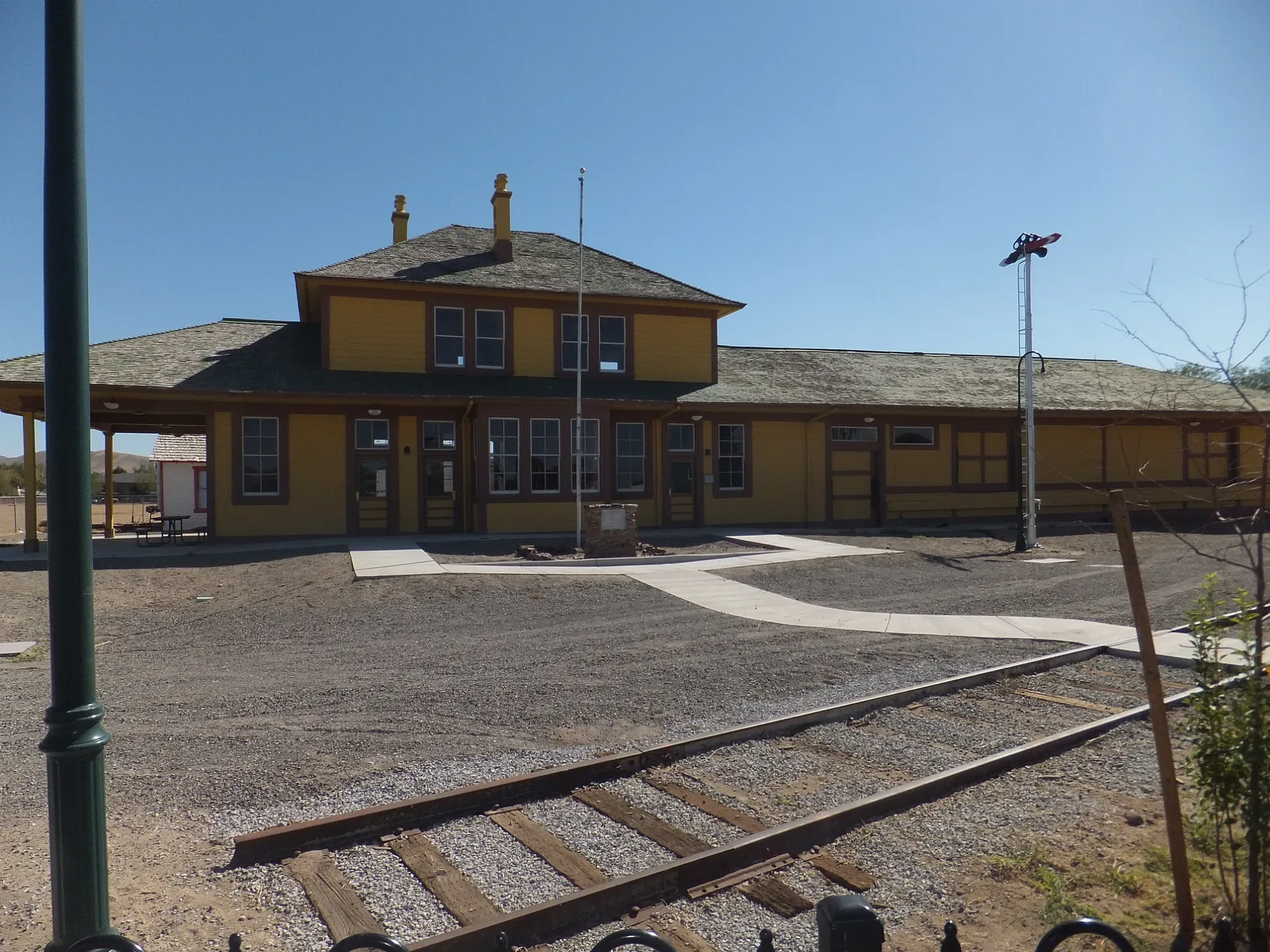
Fernley and Lassen Railway Depot0.2 mi
Cafes nearby
Freedom Espresso0.2 mi
Commercial buildings nearby
Royal Carpet One Floor & Home0.2 mi
Convenience stores nearby
7-Eleven0.2 mi
Courthouses nearby
Canal Township Justice Court0.3 mi
Libraries nearby
Fernley Branch Library0.3 mi
Parks nearby
Fernley Main Street Park0.2 mi
Millennium Park0.3 mi
Places of worship nearby
Fernley First Baptist Church0.4 mi
Restaurants nearby
All Points Bar and Grill0.2 mi
 Public transit map Fernley Legend
| Railway | |
| Bus | |
| Streetcar |
 Bicycle map Fernley Legend
| Bike path | |
| Bike lane on roadway | |
| Cycling allowed on bus lane | |
| Bicycle street | |
| Open to cyclists | |
| Open to cyclists, good path | |
| Cycling prohibited | |
| Cobblestone |
| Long-distance bike route | (depending on scale) | |
| Long-distance bike route |
 Pedestrian map Fernley Legend
| Path |
| Long-distance hiking trail | (depending on scale) | |
| Long-distance hiking trail | ||
| Pedestrians prohibited |