
West Cedar Street in Fernley, Nevada
West Cedar Street in Fernley is an asphalted residential street. It runs in an east-west direction starting from Miller Lane and crosses Ruby Street, South West Street and South Center Street and ends at Cedar Street. West Cedar Street also exists in Elko County.
- Road Type
- residential street
- Route
- east-west
Image
Tattoo studios
Rv parks
Pet stores
Courthouses
Weighbridges
Gas stations
Restaurants
Studios
Gun stores
Tobacco shops
Beauty salons
Town halls
Dentist offices
Fast food restaurants
Clothing stores
Antique stores
Liquor stores
Interior decorators
Convenience stores
Game stores
Streets nearby
South Center Street200 ft
Johnson Lane400 ft
Mc Cart Street450 ft
South West Street500 ft
Cedar Street500 ft
Ruby Street0.2 mi
Beverly Court0.2 mi
Mortensen LaneChina Chef
0.2 mi
East Main Street1st Choice Truck Services, Patriot Prescision, Southern Charm Boutique & Workshop, 101.3FM KRNG Fernly, Aloha Skate Shop, Fearless Authentic, Elevated Art, USA Cash Services, Speakeasy Tattoo & Piercing, Head Shop, Fernley Liquor & Smoke, Subway, Three Happy Hounds, Electric Sun, The Nest, La Fiesta
0.2 mi
East Street0.2 mi
Poplar Street0.2 mi
Comstock Drive0.2 mi
Center Street0.2 mi
West Street0.2 mi
Heather Lane0.2 mi
1st Street0.2 mi
East Cedar Street0.3 mi
East Front Street0.3 mi
Laurel Lane0.3 mi
Lilac Lane0.3 mi
Dallas Lane0.3 mi
Carroll Drive0.3 mi
Chrisy Drive0.4 mi
West Main StreetFernley RV Park, Fernley
0.4 mi
Miller Lane0.4 mi
Cory Way0.5 mi
Marie Drive0.5 mi
Laine Way0.5 mi
Justin Way0.5 mi
Banks nearby
Nevada State Bank350 ft
Bowling alleys nearby
Fernley Fun Center0.4 mi
Buildings nearby
Fernley P.T.0.2 mi
Community centers nearby
Fernley Community Art Center0.2 mi
Convenience stores nearby
Quick Stop0.2 mi
Fire stations nearby
Fernley Fire Department0.3 mi
Houses nearby
Fernley Crisis Pregnancy Center0.1 mi
Motels nearby
Lazy Inn0.2 mi
Parks nearby
In Town Park0.1 mi
Places of worship nearby
Gift of Grace Lutheran350 ft
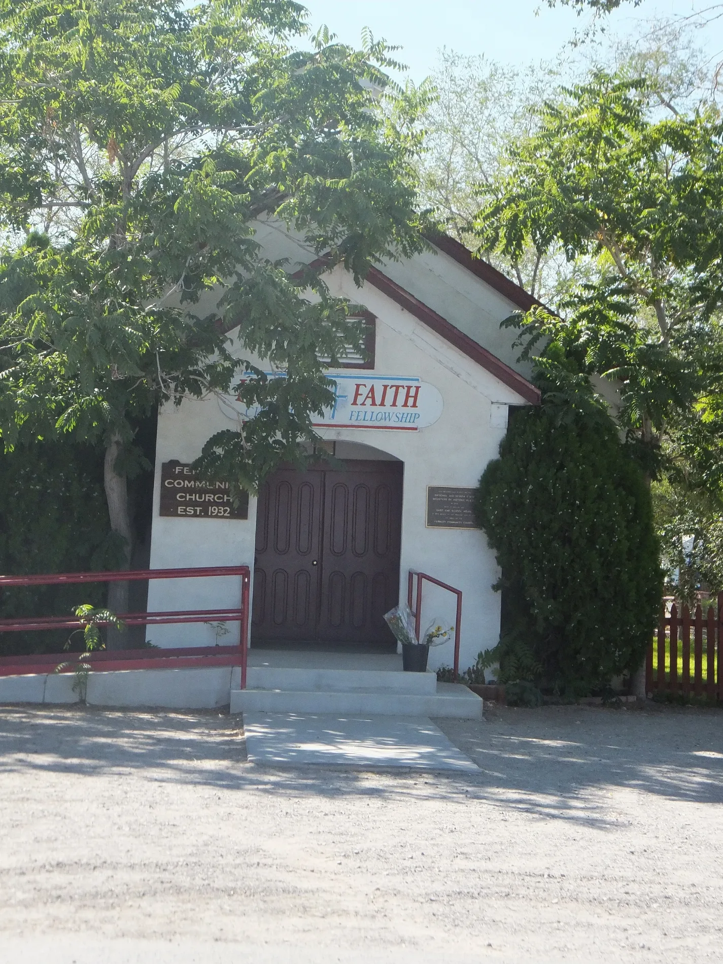
Living Faith Christian Fellowship550 ft
Fernley United Free Methodist0.1 mi
The Church of Jesus Christ of Latter-day Saints0.2 mi
Journey Comunity Church0.3 mi
Recreation grounds nearby
In Town Tennis Courts0.1 mi
In Town Basketball Courts0.1 mi
Residential areas nearby
Rancho Estates Mobile Home Park0.5 mi
Restaurants nearby
Yvonne's Hot Dogs0.2 mi
Wigwam0.2 mi
Veterinary clinics nearby
Moffitt0.1 mi
 Public transit map Fernley Legend
| Railway | |
| Bus | |
| Streetcar |
 Bicycle map Fernley Legend
| Bike path | |
| Bike lane on roadway | |
| Cycling allowed on bus lane | |
| Bicycle street | |
| Open to cyclists | |
| Open to cyclists, good path | |
| Cycling prohibited | |
| Cobblestone |
| Long-distance bike route | (depending on scale) | |
| Long-distance bike route |
 Pedestrian map Fernley Legend
| Path |
| Long-distance hiking trail | (depending on scale) | |
| Long-distance hiking trail | ||
| Pedestrians prohibited |