
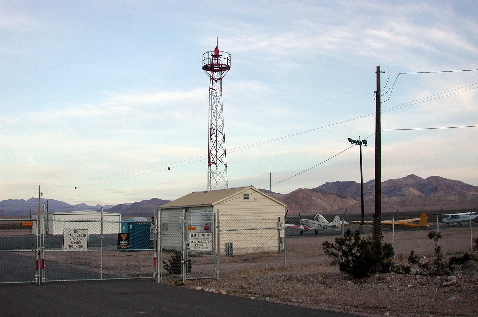
Beatty Airport in Nye County, Nevada
Beatty Airport in Nye County is an airfield (IATA: BTY, ICAO: KBTY) (89003). Beatty Airport is also known as BTY. Ⓦ.
- Postal Code
- 89003
- Operator
- Nye County, Nevada
- Website
- https://www.beattynv.info/airport.html
Image
Police stations
Courthouses
Clinics
Fire stations
Car washes
Candy stores
Vacation homes
Artworks
Town halls
Museums
- Beatty Museum & Historical Society (opening hours: Mon–Sun 10–15, Web) at Main Street 417 (89003) – approx. 2.7 mi.
ATMs
Fast food restaurants
Tourist information centers
Restaurants
Drinking water fountains
Community centers
Community centers
Attractions
Charging stations
Convenience stores
Streets nearby
Beatty Airport RoadGold Center
1.5 mi
Vanderbilt Road1.7 mi
South E Avenue2.1 mi
Cemetery Road2.2 mi
South C AvenueThe Bill Sullivan Justice Center
2.3 mi
Rhyolite RoadRhyolite
2.4 mi
Becky Lane2.4 mi
South D Avenue2.4 mi
South A AvenueBeatty Town Hall
2.4 mi
Monk Avenue2.4 mi
South B Avenue2.4 mi
Kristi Lane2.5 mi
Crowell Avenue2.5 mi
Elliott Avenue2.5 mi
Death Valley Road2.5 mi
West Watson Avenue2.6 mi
North E Avenue2.6 mi
Hornet Avenue2.6 mi
West Center Street2.6 mi
West Knight AvenueBeatty Community Center
2.6 mi
South Irving Street2.7 mi
North Irving Street2.7 mi
West Main StreetBeatty Museum & Historical Society
2.7 mi
West Montgomery Street2.7 mi
West McDonald Street2.7 mi
South Fourth Street2.8 mi
West Ward Street2.8 mi
North Fourth Street2.8 mi
West Doing Avenue2.8 mi
West Hoyt Street2.8 mi
West Lisle Avenue2.8 mi
Twilight Circle2.8 mi
North D Avenue2.8 mi
North Third StreetBeatty VFD, VFW Post
2.9 mi
North C Avenue2.9 mi
West Phillips Street2.9 mi
West Hill Street2.9 mi
Abandoned railways nearby
Tonopah and Tidewater Railroad1.5 mi
Cemeteries nearby
Bullfrog-Rhyolite Cemetery2.3 mi
Desert Hill Cemetery2.4 mi
Industrial areas nearby
Nye County Road Department2.4 mi
Motels nearby
El Portal Motel2.7 mi
Parks nearby
Cottonwood Park2.8 mi
Places of worship nearby
Hilltop Baptist Church2.4 mi
The Church of Jesus Christ of Latter-day Saints2.8 mi
Quarries nearby
Senator Stewart Mine2.4 mi
Residential areas nearby
Mountain View Apartments2.7 mi
Rivers nearby
Amargosa River2.4 mi
Waters nearby
Bombos Pond2.1 mi
| Official opening | 1952 |
|---|---|
| Elevation | 966 m |
| Located in | Nevada |
| Country | United States |
 Public transit map Nye County Legend
| Railway | |
| Bus | |
| Streetcar |
 Bicycle map Nye County Legend
| Bike path | |
| Bike lane on roadway | |
| Cycling allowed on bus lane | |
| Bicycle street | |
| Open to cyclists | |
| Open to cyclists, good path | |
| Cycling prohibited | |
| Cobblestone |
| Long-distance bike route | (depending on scale) | |
| Long-distance bike route |
 Pedestrian map Nye County Legend
| Path |
| Long-distance hiking trail | (depending on scale) | |
| Long-distance hiking trail | ||
| Pedestrians prohibited |