
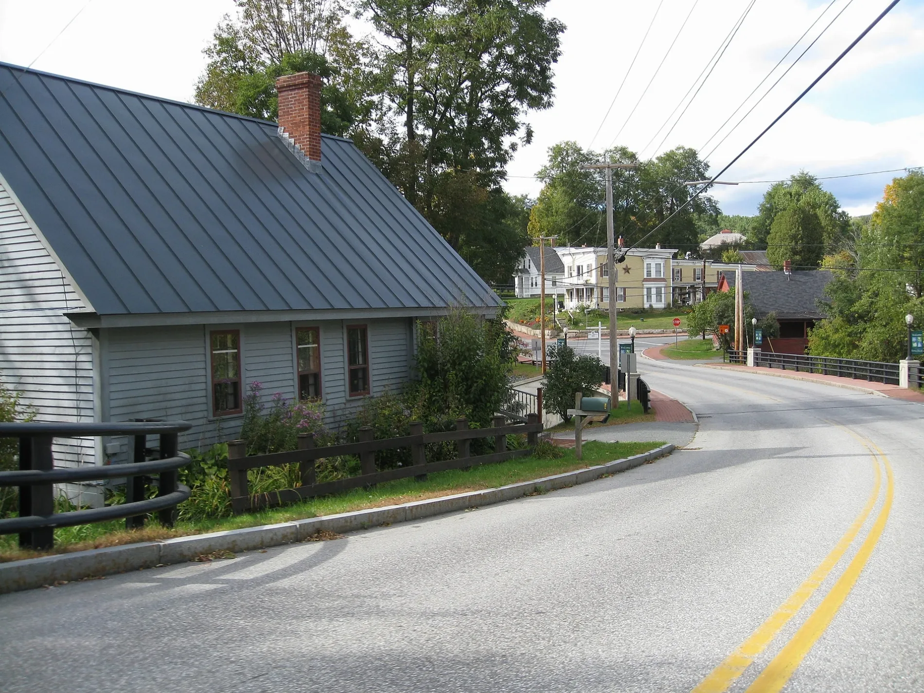
Moore Street in Enfield, New Hampshire
Moore Street in Enfield is a residential street. It runs in a northeast-southwest direction and crosses Dartmouth Street and ends at Livingstone Lodge Road, while the other end is a cul-de-sac.
- Road Type
- residential street
- Route
- northeast-southwest
Image
Restaurants
Banks
Recycling centers
General stores
Schools
Fast food restaurants
Bike shops
Convenience stores
Post offices
Streets nearby
Dartmouth Street50 ft
Mill Street0.1 mi
Pillsbury Street0.2 mi
Wells Street0.2 mi
Union Street0.2 mi
Stevens Street0.2 mi
Lake Street0.2 mi
Depot Street0.2 mi
Livingstone Lodge Road0.2 mi
Shaker Hill Road0.3 mi
Riverside Drive0.3 mi
Blacksmith Alley0.3 mi
Margery Road0.3 mi
High Street0.3 mi
Lapan Circle0.4 mi
US Route 4Irving, Dunkin', Enfield House of Pizza, Ziggy Pizza, Enfield, Enfield Northbound, Enfield Southbound
0.4 mi
Shedd Street0.4 mi
Oak Grove Street0.4 mi
Russell Lane0.4 mi
Baltic Street0.4 mi
C-More Farm Drive0.5 mi
Maple Street0.5 mi
Main StreetGeorge's, Enfield Town Offices, Mascoma Savings Bank
0.5 mi
Estey Lane0.5 mi
Cambridgeville Drive0.5 mi
Northern Rail Trail0.5 mi
Flanders Street0.5 mi
May Street0.6 mi
Prospect Pines Road0.6 mi
Cafes nearby
Carpenter's Cup Coffee0.3 mi
Cemeteries nearby
Oak Grove Cemetery0.5 mi
Community centers nearby
Enfield Community Building0.4 mi
Fire stations nearby
Enfield Fire Station0.2 mi
Furniture stores nearby
Holmquist Furniture0.3 mi
General stores nearby
Jakes Market and Deli0.4 mi
Houses nearby
Greeley House0.3 mi
Libraries nearby
Enfield Public Library0.3 mi
Parks nearby
Veterans Memorial Park0.4 mi
Mascoma Lakeside Park0.4 mi
Huse Park0.4 mi
Places of worship nearby
Saint Helena Catholic Church0.1 mi
Community Lutheran Church0.4 mi
Police stations nearby
Enfield Police Department0.3 mi
Post offices nearby
Enfield Post Office0.5 mi
Restaurants nearby
Kitchen 560.3 mi
Gusanoz0.4 mi
Ruins nearby
Baltic Mills0.5 mi
Waters nearby
Mascoma River0.3 mi
Other nearby
Enfield Substation0.5 mi
Public transit map Enfield Legend
| Railway | |
| Bus | |
| Streetcar |
Bicycle map Enfield Legend
| Bike path | |
| Bike lane on roadway | |
| Cycling allowed on bus lane | |
| Bicycle street | |
| Open to cyclists | |
| Open to cyclists, good path | |
| Cycling prohibited | |
| Cobblestone |
| Long-distance bike route | (depending on scale) | |
| Long-distance bike route |
Pedestrian map Enfield Legend
| Path |
| Long-distance hiking trail | (depending on scale) | |
| Long-distance hiking trail | ||
| Pedestrians prohibited |