
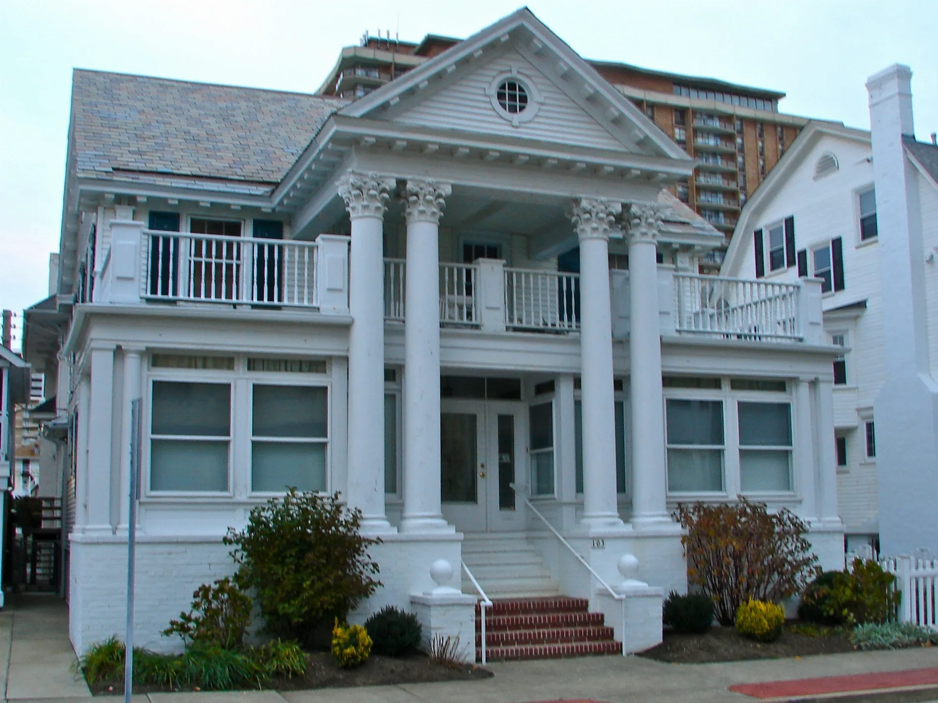
Newton Avenue in Atlantic City, New Jersey
Newton Avenue in Atlantic City is a single-lane, asphalted residential street. It runs as a one-way street in a southeast-northwest direction starting from Ventnor Avenue and ends at Winchester Avenue. Newton Avenue is also known as North Newton Avenue. Newton Avenue also exists in Camden County, Gloucester County and Sussex County.
- Alternate Name
- North Newton Avenue
- Road Type
- residential street
- Lanes
- 1
- Speed Limit
- 25 mph
- Route
- southeast-northwest
Image
Doctor's offices
Bars
Motels
Convenience stores
Beauty salons
Bus stops
Restaurants
Auto repair shops
Boat rentals
Viewpoints
Taxi stands
Liquor stores
Streets nearby
North Montgomery Avenue500 ft
Callender Avenue0.1 mi
Vassar Square0.1 mi
Plaza Place0.1 mi
Baton Rouge Avenue0.1 mi
Theresa Place0.1 mi
Marion Avenue0.1 mi
Jackson Avenue0.1 mi
Montgomery Avenue0.1 mi
Ventnor AvenueAct On Women's Health
0.2 mi
Kingston Avenue0.2 mi
Austin Avenue0.2 mi
Aberdeen Place0.2 mi
Oakland Avenue0.2 mi
Bartram Place0.2 mi
Newton Place0.2 mi
Tallahassee Avenue0.2 mi
Sunset AvenuePassport Inn Atlantic City
0.2 mi
Columbia AvenueVillage Medical Primary Care
0.2 mi
South Berkley Square0.2 mi
Nashville Avenue0.2 mi
Delancy Place0.3 mi
Atlantic AvenueThe Melting Pot, Finish Line, The Children's Place Outlet, Tommy Hilfiger, Atlantic City Post Office, Food 4 Less, Wood's Loan Office, Mr. Steak Halal, Honey Buzz Farms, Ocean Therapy, Cali's Variety, Hi-Five Communications, Center City Deli, C & K Chinese Restaurant, Polo Ralph Lauren Factory Store, Cafe Di Roma, Masjid Al-Furqaan, Hair Bazaar, Gino's, El Tacuate Mexican Restaurant, AC Fashion & More, Late Night Wine & Liquor, Savon Discount, Unique Variety, Atlantic City, Eddie Bauer Outlet, Affliction, Kitchen Collection, GameStop, Golden Wok Chinese, Boost Mobile, King Gourmet Restaurant, Cricket Wireless, Jersey Discount, Midtown, La Latina Barber Shop, Salt Air Botanicals, Ducktown, Atlantic City Municipal Court, Atlantic City Jail, Atlantic City Police Department, Alfredo's Pizza King
0.3 mi
North Hillside Avenue0.3 mi
Winchester Avenue0.3 mi
Frankfort Avenue0.3 mi
Hillside Avenue0.3 mi
Amherst Avenue0.3 mi
Amenities nearby
Ninja0.3 mi
Apartment buildings nearby
The Plaza Condominium0.3 mi
The Osprey Nest0.3 mi
Berkley Condominium Association0.3 mi
Vassar Square Condominiums0.3 mi
Beauty salons nearby
Moon's Nails0.3 mi
Buildings nearby
Green Rocket Digital0.2 mi
Chelsea Professional Building0.2 mi
Chocolate shops nearby
Jagielky's0.3 mi
Clinics nearby
Foot & Ankle Center0.2 mi
Clothing stores nearby
Jules of Margate0.3 mi
Convenience stores nearby
Gigi Convenience & Smoke0.2 mi
Nashville Market0.2 mi
Liquor stores nearby
North Beach Liquors0.3 mi
Movie theaters nearby
Ventnor Square Theater0.3 mi
Parks nearby
Kingston Avenue Park0.2 mi
Pet stores nearby
Pet-Point0.3 mi
Places of worship nearby
Atlantic City Chabad-Lubavitch0.2 mi
Congregation Rodef Sholom0.2 mi
Tidal channels nearby
Inside Thorofare0.2 mi
Other nearby
Lower Chelsea150 ft
 Public transit map Atlantic City Legend
| Railway | |
| Bus | |
| Streetcar |
 Bicycle map Atlantic City Legend
| Bike path | |
| Bike lane on roadway | |
| Cycling allowed on bus lane | |
| Bicycle street | |
| Open to cyclists | |
| Open to cyclists, good path | |
| Cycling prohibited | |
| Cobblestone |
| Long-distance bike route | (depending on scale) | |
| Long-distance bike route |
 Pedestrian map Atlantic City Legend
| Path |
| Long-distance hiking trail | (depending on scale) | |
| Long-distance hiking trail | ||
| Pedestrians prohibited |