
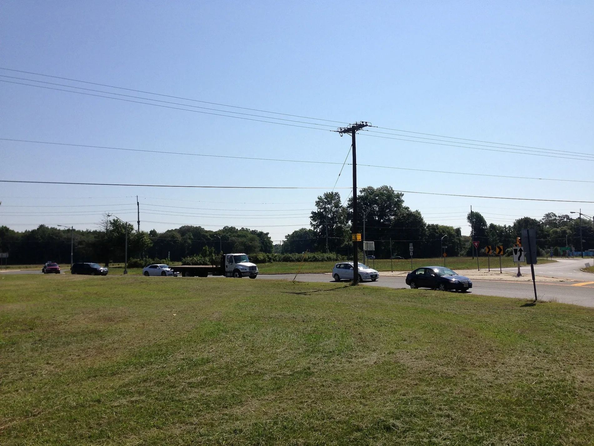
Eayrestown Road in Southampton Township, New Jersey
Eayrestown Road in Southampton Township is a two-lane, asphalted local road (Road number CR 685). No bike lane available. It runs in a southeast-northwest direction starting from Hilliards Bridge Road and crosses New Freedom Road, Purgatory Road, Saddlebury, Beaver Dam Road, Kerry Court, Coleman Court, Linda Lane and Red Lion Road. It ends in a cul-de-sac. This street is part of the highway "685". Nearby there is among others a fast food restaurant. Eayrestown Road also exists in Lumberton Township.
- Road Type
- local road
- Lanes
- 2
- Route
- southeast-northwest
Image
Fast food restaurants
Streets nearby
Linda Lane0.2 mi
Allentown Road0.3 mi
Kumpel Driveway0.5 mi
Coleman Court0.6 mi
Kerry Court0.7 mi
Beaver Dam Road0.9 mi
Old Red Lion RoadMedford Cedar Products
1.0 mi
Ridge RoadBuddtown
1.1 mi
Saddlebury1.2 mi
Friendship Road1.3 mi
Ridgeway Lane1.3 mi
Purgatory Road1.3 mi
Birch Drive1.4 mi
Carranza Road1.4 mi
Falcon Drive1.4 mi
Hawkin Road1.4 mi
Pine Drive1.5 mi
Robbins Way1.5 mi
Floyd Lane1.5 mi
Mark Lane1.5 mi
Elm Drive1.5 mi
Red Lion RoadBeaverville
1.5 mi
Summit Drive1.6 mi
Bishop Road1.6 mi
Independence Way1.6 mi
New Freedom RoadSandtown
1.6 mi
Moore Road West1.6 mi
Angels Court1.7 mi
Mayfair Road1.7 mi
Madison Court1.7 mi
Constitution Drive1.7 mi
Hamilton Court1.7 mi
Lee DriveMeadford Farms
1.7 mi
Newbury Drive1.7 mi
Don's Way1.7 mi
Franklin Court1.8 mi
Liverpool Lane1.8 mi
Monroe Court1.8 mi
Jefferson Court1.8 mi
Gas stations nearby
Sinclair0.6 mi
Office buildings nearby
Midwest Construction0.3 mi
Post offices nearby
Vincentown Post Office0.4 mi
Restaurants nearby
Red Lion Diner0.2 mi
Shopping malls nearby
Red Lion Plaza0.3 mi
Streams nearby
Bear Swamp River0.7 mi
Beaverdam Creek1.4 mi
Cold Water Run1.7 mi
Other nearby
Red Lion Airport1.3 mi
Southampton Substation1.6 mi
 Public transit map Southampton Township Legend
| Railway | |
| Bus | |
| Streetcar |
 Bicycle map Southampton Township Legend
| Bike path | |
| Bike lane on roadway | |
| Cycling allowed on bus lane | |
| Bicycle street | |
| Open to cyclists | |
| Open to cyclists, good path | |
| Cycling prohibited | |
| Cobblestone |
| Long-distance bike route | (depending on scale) | |
| Long-distance bike route |
 Pedestrian map Southampton Township Legend
| Path |
| Long-distance hiking trail | (depending on scale) | |
| Long-distance hiking trail | ||
| Pedestrians prohibited |