
North State Street in Norwich, New York
North State Street in Chenango County is a residential street and runs in a South direction starting from Rexford Street and continues into State Street. North State Street also exists in Cattaraugus County, Onondaga County and Chautauqua County.
- Road Type
- residential street
- Route
- north-south
Image
Museums
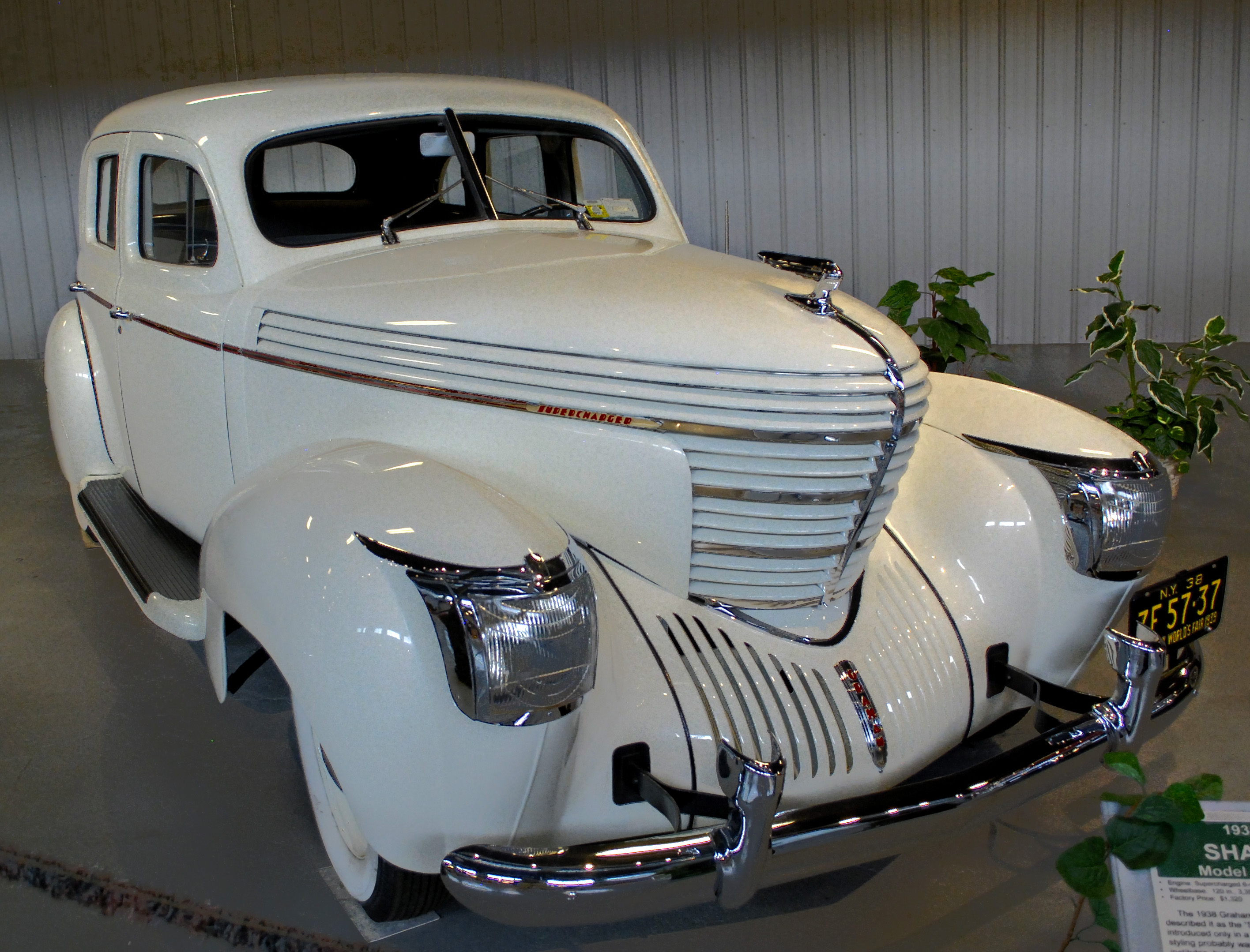
- Northeast Classic Car Museum (opening hours: Mon–Sun 9:30–16:30, fee required, Web) at Rexford Street 28 (13815) – approx. 450 ft.
Restaurants
Hotels
Dentist offices
Appliance stores
Banks
Places of worship
Post offices
Florists
Schools
Fire stations
Town halls
Libraries
Fast food restaurants
Streets nearby
State Street250 ft
Silver Street400 ft
South Mitchell Street0.1 mi
Lee Avenue0.1 mi
Merrill Street0.2 mi
Terrace Street0.2 mi
Turner Street0.2 mi
Berry Street0.2 mi
South State Street0.2 mi
Tillman Avenue0.2 mi
Mechanic Street0.2 mi
Lackawana AvenueByrne Dairy and Deli
0.2 mi
Rexford StreetNortheast Classic Car Museum
0.2 mi
Lackawana Lane0.2 mi
Adams Street0.3 mi
Lackawanna Avenue0.3 mi
North Broad StreetHoward Johnson
0.3 mi
Waite Street0.3 mi
East Park Place0.3 mi
Borden Avenue0.3 mi
Miller Street0.3 mi
Court StreetGuernsey Homestead Memorial Library
0.3 mi
Prospect StreetSaint Pauls Parochial School
0.4 mi
Pellet Street0.4 mi
Fair Street0.4 mi
Auburn Street0.4 mi
Henry StreetEnlightened Dentistry
0.4 mi
King Street0.4 mi
Guernsey Street0.4 mi
Newton Avenue0.4 mi
Sharon Drive0.5 mi
Ridgeland Road0.5 mi
Summit Street0.5 mi
Thompson Drive0.5 mi
Magistro DrivePires Flower Basket
0.6 mi
Eric Street0.6 mi
Railway nearby
New York Oswego & Midland0.2 mi
Commercial buildings nearby
frontrer Connections0.3 mi
Museums nearby
Chenango County Historical Society0.1 mi
Parks nearby
Weiler Park0.3 mi
Pharmacies nearby
Walgreens0.2 mi
Places of worship nearby
Christ Lutheran Church0.2 mi
Broad Street Methodist Church0.2 mi
Playgrounds nearby
Weiler Park Playground0.3 mi
Railways nearby
Utica Ml0.4 mi
Retail buildings nearby
Dollar Tree0.2 mi
Sports fields nearby
Norwich Skate Park0.5 mi
Train stations nearby
City of Norwich Administrative Offices0.3 mi
Other nearby
UHS Chenango Memorial Hospital Heliport0.5 mi
Public transit map City of Norwich Legend
| Railway | |
| Bus | |
| Streetcar |
Bicycle map City of Norwich Legend
| Bike path | |
| Bike lane on roadway | |
| Cycling allowed on bus lane | |
| Bicycle street | |
| Open to cyclists | |
| Open to cyclists, good path | |
| Cycling prohibited | |
| Cobblestone |
| Long-distance bike route | (depending on scale) | |
| Long-distance bike route |
Pedestrian map City of Norwich Legend
| Path |
| Long-distance hiking trail | (depending on scale) | |
| Long-distance hiking trail | ||
| Pedestrians prohibited |