
Tallinger Alley in Rochester, New York
Tallinger Alley in Monroe County is a service road and it runs in an east-west direction starting from Broadway and ends at Ajax Street.
- Road Type
- service road
- Route
- east-west
Image
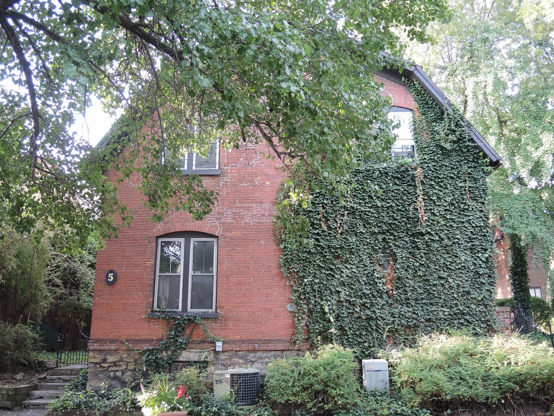
Theaters
Cafes
Bakeries
Restaurants
Bars
Bookstores
Convenience stores
Bus stops
Pubs
Places of worship
Schools
Libraries
Streets nearby
Broadway350 ft
Bell Alley400 ft
Ajax StreetTournados
400 ft
Mathews StreetChick'n Out
450 ft
East Broad StreetWater Table, River Currents, Mill Wheel, Transportation and Commerce, Rochester's Heritage Trail, Midtown Garage, Xerox Auditorium, Clinton Square, FlixBus Rochester, Megabus - Rochester, Dice Versa
500 ft
Court Street0.1 mi
Manhattan Square DriveManhattan News, Seasonal Ice Skate Rental
0.1 mi
Winthrop Street0.1 mi
Gable Alley0.2 mi
Adventure PlaceManhattan Square, Abbott's Frozen Custard
0.2 mi
Savannah StreetHave Hope Tattoo & Gallery, Pastrymancer
0.2 mi
Anson Place0.2 mi
South Union Street0.2 mi
Canfield Place0.2 mi
Lawrence Street0.3 mi
Buena Place0.3 mi
Ryan Alley0.3 mi
Gardiner ParkSkylark Lounge, Shema Shushi
0.3 mi
Dryer AlleyOld Toad, The Union Stop
0.3 mi
Chapman Alley0.3 mi
Jordan Alley0.3 mi
Lafayette Place0.4 mi
Tracy Street0.4 mi
Linwood PlaceBrickwood Grill
0.4 mi
Priem StreetNatural Oasis
0.4 mi
Bixby Place0.4 mi
Buildings nearby
IRS0.1 mi
Anthology0.3 mi
Valley Building0.3 mi
Whiting Building0.3 mi
Hiram Sibley Building0.3 mi
Gilda's Club of Rochester0.3 mi
Cafes nearby
Spot Coffee300 ft
Ugly Duck Coffee0.2 mi
Commercial buildings nearby
Buckingham Properties0.3 mi
Florists nearby
Arena's Florist0.1 mi
Hair salons nearby
The Gentleman's Barber0.2 mi
Hotels nearby
Inn On Broadway200 ft
Hampton Inn & Suites0.3 mi
Movie theaters nearby
Little Theatre0.1 mi
Museums nearby
Rochester Contemporary Art Center200 ft
National Museum of Play at The Strong0.2 mi
Parking lots nearby
The Strong Museum Parking Garage0.2 mi
Parks nearby
Martin Luther King, Jr. Memorial Park0.1 mi
Residential buildings nearby
Medical Arts Building0.3 mi
Normandie Apartments0.3 mi
Normandie Brownstone Apartments0.4 mi
Restaurants nearby
Matthew's East End Grill500 ft
Studios nearby
WHEC-TV200 ft
Public transit map City of Rochester Legend
| Railway | |
| Bus | |
| Streetcar |
Bicycle map City of Rochester Legend
| Bike path | |
| Bike lane on roadway | |
| Cycling allowed on bus lane | |
| Bicycle street | |
| Open to cyclists | |
| Open to cyclists, good path | |
| Cycling prohibited | |
| Cobblestone |
| Long-distance bike route | (depending on scale) | |
| Long-distance bike route |
Pedestrian map City of Rochester Legend
| Path |
| Long-distance hiking trail | (depending on scale) | |
| Long-distance hiking trail | ||
| Pedestrians prohibited |