
Canton Street in Town of Van Buren Township, New York
Canton Street in Onondaga County is a two-lane local road. It runs in a north-south direction starting from Water Street and crosses Tappan Street, Grove Street, Downer Street, Mildred Avenue and Rifts Drive and ends at Canton Street Road. Nearby there is a museum. Canton Street also exists in Erie County, Saint Lawrence County, Albany County and Chemung County.
- Road Type
- residential street
- Route
- north-south
Image
Museums
- Shacksboro Museum (Web) at Canton Street 46 (13027).
Streets nearby
Spensieri Avenue500 ft
Southwest TrailLock E24
0.1 mi
Tappan Street0.1 mi
Marble Street0.1 mi
Water StreetLock E24
0.2 mi
Syracuse StreetBeacon Gospel Tabernacle, Kingdom Hall Church
0.2 mi
Denio Street0.2 mi
River Street0.2 mi
Oswego StreetThe Red Room Salon, Sheehan's Appliances, Dani's Dessert and Wine Bar, Pizza Man, That Hair Place, Angry Garlic, Seneca Savings
0.2 mi
Seneca Street0.2 mi
Grove Street0.2 mi
Mc Harrie Street0.2 mi
Charlotte Street0.2 mi
Downer StreetCommunity Wesleyan Church, Family Dollar, M&T Bank, Fastrac Cafe, Speedway, Speedy Wash, Subway, Dunkin' Donuts, Pizza Hut
0.3 mi
West Genesee StreetBaldwinsville, Bliss Bridal and Formal Wear, Inc
0.3 mi
North Street0.3 mi
East Genesee StreetWireless Zone, Empower Federal Credit Union, Colonial Laundromat, Subway, Baldwinsville Post Office, Byrne Dairy
0.3 mi
Division Street0.3 mi
Hotaling Street0.3 mi
Mildred Avenue0.4 mi
Virginia Street0.4 mi
Robinson Drive0.4 mi
Meadow Street0.4 mi
Conifer Drive0.4 mi
Banks nearby
KeyBank0.3 mi
Buildings nearby
Baldwinsville Village Hall0.3 mi
Cafes nearby
Canal Side Café & Bistro0.1 mi
Canals nearby
Erie Canal0.1 mi
Cemeteries nearby
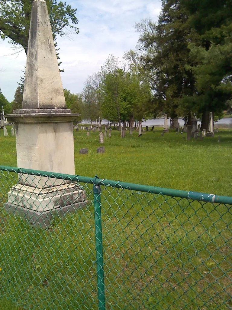
Riverside Cemetery0.2 mi
Convenience stores nearby
Sunoco0.4 mi
Dams nearby
Lock 24 Dam Erie Canal0.1 mi
Dentist's offices nearby
Dr. William Raineri0.3 mi
Fast food restaurants nearby
Dunkin'0.4 mi
Hair salons nearby
Baldwinsville Barber Shop0.2 mi
Hotels nearby
The Red Mill Inn0.1 mi
Libraries nearby
Baldwinsville Public Library0.4 mi
Parks nearby
Baldwin Canal Square0.2 mi
Mercer Park0.4 mi
Pharmacies nearby
Kinney Drugs0.3 mi
Places of worship nearby
First Baptist Church500 ft
St. Mary's Roman Catholic Church0.2 mi
First United Methodist Church0.2 mi
First Presbyterian Church0.3 mi
Restaurants nearby
B-Ville Diner0.3 mi
Mohegan Manor0.3 mi
Rivers nearby
Seneca River0.3 mi
Tattoo studios nearby
Tymeless Tattoo0.2 mi
Theaters nearby
Bud Light Amphitheater at Paper Mill Island550 ft
Other nearby
Baldwinsville0.2 mi
Public transit map Town of Van Buren Legend
| Railway | |
| Bus | |
| Streetcar |
Bicycle map Town of Van Buren Legend
| Bike path | |
| Bike lane on roadway | |
| Cycling allowed on bus lane | |
| Bicycle street | |
| Open to cyclists | |
| Open to cyclists, good path | |
| Cycling prohibited | |
| Cobblestone |
| Long-distance bike route | (depending on scale) | |
| Long-distance bike route |
Pedestrian map Town of Van Buren Legend
| Path |
| Long-distance hiking trail | (depending on scale) | |
| Long-distance hiking trail | ||
| Pedestrians prohibited |