
Town Avenue in Brookhaven, New York
Town Avenue in Suffolk County is a residential street. It runs in an east-west direction starting from Radio Avenue and crosses Hunter Avenue. It ends in a cul-de-sac.
- Road Type
- residential street
- Speed Limit
- 30 mph
- Route
- east-west
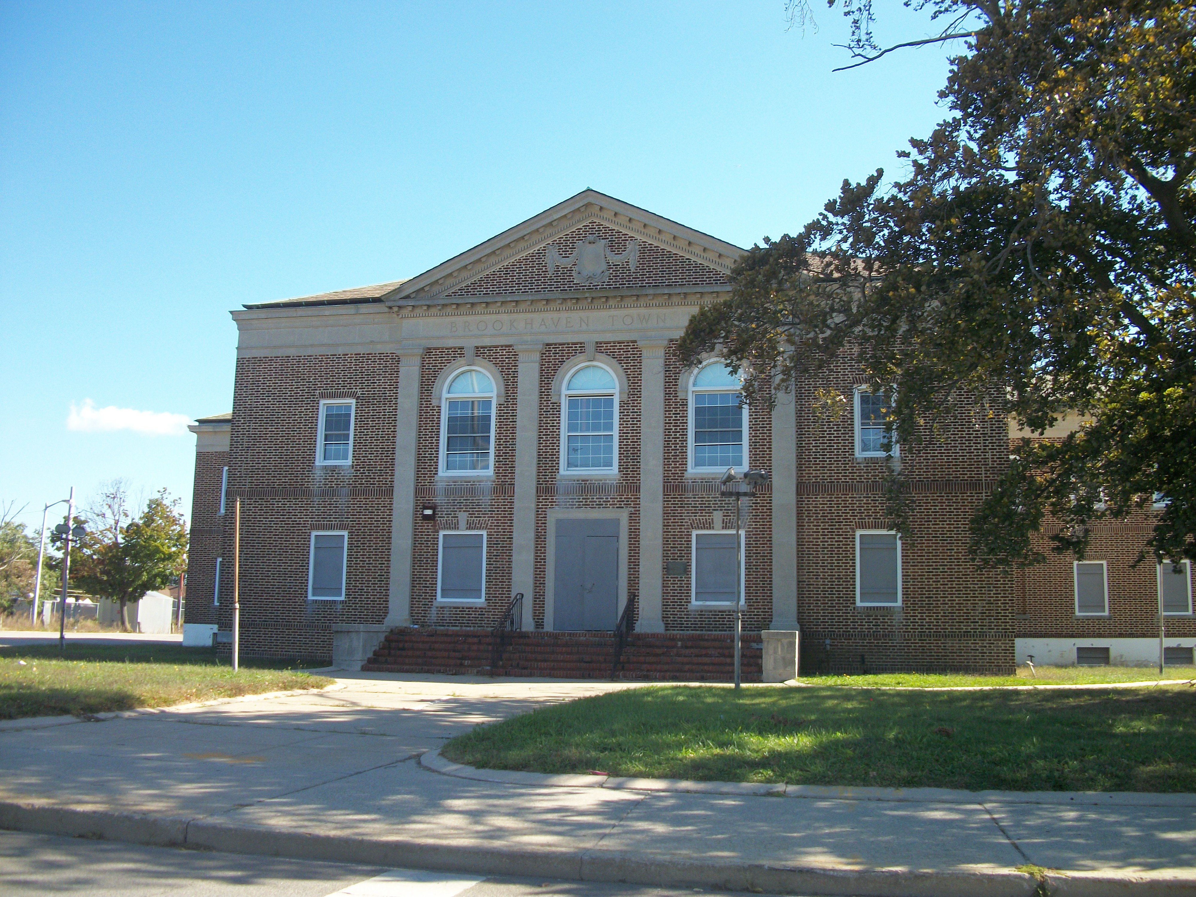
Image
Streets nearby
Dana Court550 ft
Rocky Point Horse Red West0.2 mi
15th Street0.2 mi
14th Street0.2 mi
13th Street0.3 mi
Sunreigh Court0.3 mi
Hunter Avenue0.3 mi
Elm Street0.3 mi
Grove Street0.3 mi
Irving Street0.4 mi
Natures Lane0.4 mi
Douglas Street0.4 mi
Thunder Road0.4 mi
18th Street0.5 mi
King Street0.5 mi
East 11th Street0.5 mi
Bobcat Lane0.5 mi
Feile Road0.5 mi
Laurel Street0.6 mi
Radio Avenue0.6 mi
Route 25AiFixScreens, Domino's, East Shoreham, S60 & S76 East, S60&S76 West, Setauket Gulf, Brookhaven Cat Hospital, Gulf, CVS, Wendy's, Cow Palace, Advance Auto Parts, Rocky Point Orthodontics, Verizon, BP, Speedway, Shop With Us, Suffolk County National Bank, Florist, Country Rotiserie, Seafood Market, Wines & Spirits, Shoreham Nails, Cleaners & Tailors, Shoreham Drugs, Shoreham Wireless, Osaka Japanese Sushi Hibachi Steakhouse, Subway, K9 Kutz
0.6 mi
Rocky Mountain Way0.6 mi
Yellow Shortcut West 10.6 mi
Parkside Avenue0.7 mi
Tyler Avenue0.7 mi
Maple StreetBlue Point Bible Church, Little Free Library
0.7 mi
20th Street0.7 mi
Harrison Avenue0.7 mi
Westchester Drive7-Eleven
0.7 mi
Oakland Avenue0.7 mi
Model Court0.8 mi
Lightning Lane0.8 mi
North Country RoadS76 East, Dentistry Unlimited, North Fork Bacon & Smokehouse, Miller Place, Sunoco, Green Cactus Cafe, Station Pizza, Soup's On, Stony Asian Mart, Noodle House, Stony Brook, Dunkin', Arnor Crepe & Bubble Tea, Hamlet Wines & Liquors, Pumpernickles Deli & Market, BP
0.8 mi
Brookhaven Drive0.8 mi
Farmingdale Road0.8 mi
Bayport Road0.8 mi
Babylon Drive0.8 mi
Estate Court0.8 mi
Elm Road0.8 mi
Cedar Road0.9 mi
Patchogue Drive0.9 mi
Oak Hills Drive0.9 mi
Brookwood Court0.9 mi
Constant Court1.0 mi
Suffolk Drive1.0 mi
Larch Road1.0 mi
Gas stations nearby
Gulf0.6 mi
Parks nearby
North Shore Little League0.5 mi
Restaurants nearby
Spiro's0.9 mi
Public transit map Town of Brookhaven Legend
| Railway | |
| Bus | |
| Streetcar |
Bicycle map Town of Brookhaven Legend
| Bike path | |
| Bike lane on roadway | |
| Cycling allowed on bus lane | |
| Bicycle street | |
| Open to cyclists | |
| Open to cyclists, good path | |
| Cycling prohibited | |
| Cobblestone |
| Long-distance bike route | (depending on scale) | |
| Long-distance bike route |
Pedestrian map Town of Brookhaven Legend
| Path |
| Long-distance hiking trail | (depending on scale) | |
| Long-distance hiking trail | ||
| Pedestrians prohibited |