
Highview Avenue in Huntington, New York
Highview Avenue in Suffolk County is a two-lane, asphalted residential street. It runs in a north-south direction starting from Northridge Street and crosses May Street and ends at Broadway.
- Road Type
- residential street
- Lanes
- 2
- Speed Limit
- 30 mph
- Route
- north-south
Image
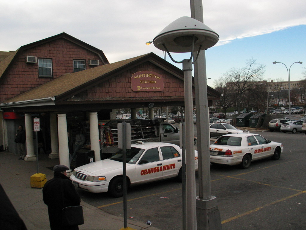
Streets nearby
East Folsom Avenue300 ft
May Street450 ft
See View Place0.1 mi
Hendrickson Avenue0.1 mi
Lenox RoadHuntington, Platform B
0.1 mi
Corlett Place0.2 mi
BroadwayHuntington Station, Huntington, Huntington Train Station, Platform B, Platform A, Buffalo Grille, 60 Broadway Parking, Enterprise, Platform A - Overpass, L’uccello Pizza & Italian Fare, Urban Coffee, Dunkin', Tully's Auto Body, Little Plains
0.2 mi
Wyman Avenue0.2 mi
Biltmore Circle0.2 mi
3rd StreetNorthport
0.2 mi
Northridge Street0.2 mi
Henry StreetHuntington Station Cleaners, Jenny's Deli, Maria's Pizza Chicken Ribs, Station Laundraumat
0.2 mi
East 2nd Street0.2 mi
New York AvenueHuntington, Platform A - Crossover, Platform B, 2 Railroad St Parking, Platform A, Ketewomoke Yo, Posto Pazzo, Bay Deli, New York Avenue & Fairview Street, Conklin House, Halesite, Mi Viejito Pueblito Taqueria, 7-Eleven, CVS Pharmacy, J Lee Nail Spa, Island Gas, Back Of The Closet, Sunoco, Pancho Villa, Village Touch Free Car Wash, New York Avenue & Main Street, Burger King, Sobol, The Next Chapter, Aboff's Paints, King Kullen, Halesite Post Office, Halesite Fire Department, Cross Island Trolley, Little Vincent's Pizza, Boost Mobile, AL Jacobsen Funeral Home, New York Avenue & Broadway, AloeTech Inc
0.2 mi
Town House Road South0.2 mi
Buffett Place0.3 mi
East 4th Street0.3 mi
Fairground AvenuePlatform B - Overpass
0.3 mi
Kelsey Avenue0.3 mi
Town House Road North0.3 mi
Folsom Avenue0.3 mi
Depot RoadXtra Fuels
0.3 mi
Church Street0.3 mi
Cottage Court0.3 mi
Philip Court0.4 mi
Roxanne Court0.4 mi
Lowndes Avenue0.4 mi
Dawson Place0.4 mi
Olive Street0.4 mi
Teddy Court0.4 mi
David Court0.4 mi
Devonshire Place0.4 mi
Academy Place0.4 mi
Edwards Place0.4 mi
Trudy Court0.4 mi
Woodhull Road South0.5 mi
Cheshire Street0.5 mi
Ardsley Place0.5 mi
Berkshire Court0.5 mi
Crooked Hill Road0.5 mi
Hilltop Avenue0.5 mi
Vidoni Place0.6 mi
Convenience stores nearby
7-Eleven0.3 mi
Mortuaries nearby
M. A. Connell Funeral Home0.5 mi
Pharmacies nearby
Walgreens0.4 mi
Railways nearby
Port Jefferson Branch0.2 mi
Restaurants nearby
Johnny D's Pizza0.5 mi
Social facilities nearby
Huntington Nursing Home0.5 mi
Train stations nearby
Huntington0.2 mi
Public transit map Town of Huntington Legend
| Railway | |
| Bus | |
| Streetcar |
Bicycle map Town of Huntington Legend
| Bike path | |
| Bike lane on roadway | |
| Cycling allowed on bus lane | |
| Bicycle street | |
| Open to cyclists | |
| Open to cyclists, good path | |
| Cycling prohibited | |
| Cobblestone |
| Long-distance bike route | (depending on scale) | |
| Long-distance bike route |
Pedestrian map Town of Huntington Legend
| Path |
| Long-distance hiking trail | (depending on scale) | |
| Long-distance hiking trail | ||
| Pedestrians prohibited |