
Greenwood Circle in Cary, North Carolina
Greenwood Circle in Cary is a residential street. It runs in a southeast-northwest direction starting from Southeast Maynard Road and crosses Nathaniel Court, Tanglewood Drive, East Gerrell Court, West Gerrell Court, Kings Fork Road, Seth Court, Kenbridge Lane, Bay Drive and Seabrook Avenue.
- Bicycle
- yes
- Road Type
- residential street
- Speed Limit
- 25 mph
- Route
- southeast-northwest
Image
Copy shops
Public bookcases
Schools
Bus stops
Restaurants
Bookstores
Cafes
Streets nearby
Tanglewood DriveChrist the King Lutheran Church
350 ft
Nathaniel Court350 ft
East Gerrell Court450 ft
West Gerrell Court500 ft
Exeter Court550 ft
Bonner Court0.1 mi
Megan Court0.1 mi
Abram Drive0.1 mi
Fernwood Circle0.1 mi
Crown Court0.2 mi
Seth Court0.2 mi
Blackshoal Drive0.2 mi
Kenbridge Lane0.2 mi
Kings Fork Road0.2 mi
Lively Court East0.2 mi
Delmar Road0.2 mi
Seabrook Avenue0.2 mi
Riverton Place0.2 mi
Lively Court West0.2 mi
Devine Way0.2 mi
Chesapeake Lane0.2 mi
Grimstead Circle0.3 mi
Brookcliff Lane0.3 mi
Mosswood Lane0.3 mi
Hinshaw Greenway0.3 mi
Birch Circle0.3 mi
Southeast Maynard RoadSE Maynard Rd at White Plains UMC, SE Maynard Rd at Ralph Dr, SE Maynard Rd at Hampton Valley Rd, Southeast Maynard Road & Cary Towne Boulevard, SE Maynard Rd at Kildaire Farm Rd (WB), SE Maynard Rd at Kildaire Farm Rd (Greenwood Forest Church), Southeast Maynard Road & Sloan Drive, SE Maynard Rd at Walnut St (Cary High School), SE Maynard Rd at Collington Dr, SE Maynard Rd at Walnut St (Barnes & Noble Plaza), SE Maynard Rd at Ashe Ave, Vacant (former Macaroni Grill), Vacant (former Five Guys), SE Maynard Rd at Ellynn Dr, SE Maynard Rd at Greenwood Cir, Southeast Maynard Road & East Chatham Street, Southeast Maynard Road & Tate Street, Southeast Maynard Road & Reed Street, SE Maynard Rd at Tanglewood Dr (EB), SE Maynard Rd at Tanglewood Dr (WB), Southeast Maynard Road & Village Greenway
0.3 mi
Yubinaranda Circle0.3 mi
Ashe Avenue0.3 mi
Huntwood Lane0.3 mi
Holly Circle0.3 mi
Boxwood Court0.3 mi
Oak Ridge Road0.3 mi
Elm Street0.3 mi
Stoney Point Lane0.4 mi
Heathers Glen0.4 mi
Cypress Circle0.4 mi
Farmington Woods DriveTorero's Mexican Restaurant, Kumon, Nails 21
0.4 mi
Cindy Street0.5 mi
Greenwood Drive0.5 mi
Ellynn Drive0.5 mi
Buildings nearby
Pirates' Cove Clubhouse0.2 mi
Greenhouses nearby
Cary Greenhouse0.5 mi
Places of worship nearby
White Plains United Methodist Church0.4 mi
Residential areas nearby
Tanglewood0.1 mi
Stoneybrook0.1 mi
Maynard Oaks0.2 mi
Greenwood Forest0.3 mi
Streams nearby
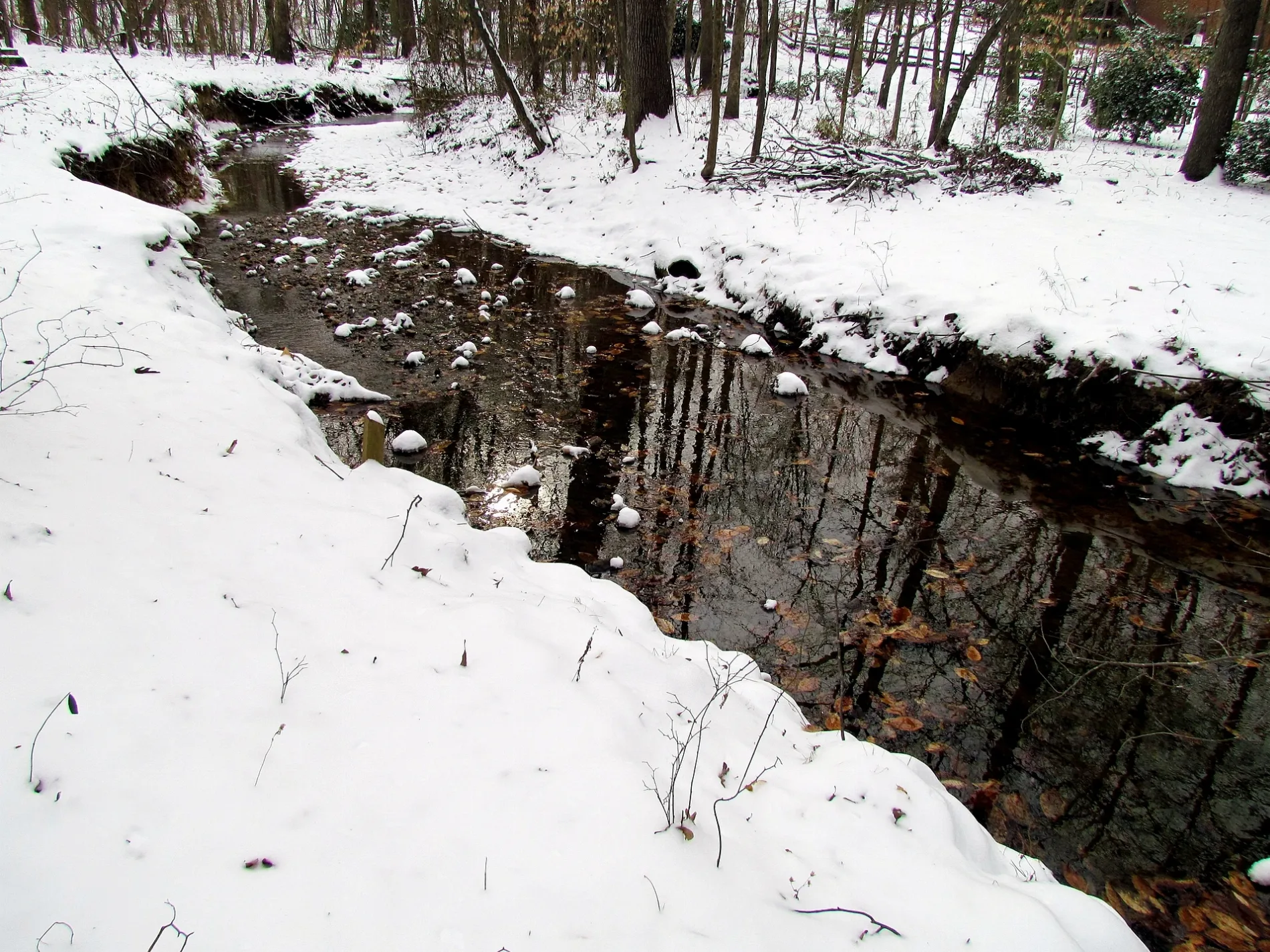
Lynn Branch0.2 mi
 Public transit map Cary Legend
| Railway | |
| Bus | |
| Streetcar |
 Bicycle map Cary Legend
| Bike path | |
| Bike lane on roadway | |
| Cycling allowed on bus lane | |
| Bicycle street | |
| Open to cyclists | |
| Open to cyclists, good path | |
| Cycling prohibited | |
| Cobblestone |
| Long-distance bike route | (depending on scale) | |
| Long-distance bike route |
 Pedestrian map Cary Legend
| Path |
| Long-distance hiking trail | (depending on scale) | |
| Long-distance hiking trail | ||
| Pedestrians prohibited |